Nicoya Peninsula Surf Coast — Costa Rica — Scenic
Central America & Caribbean

Nicoya Peninsula Surf Coast

Costa Rica

Point-to-point
Puntarenas Ferry Terminal Playa Hermosa

In short: Nicoya Peninsula Surf Coast is a about 115–150 km plus ferry scenic road trip in Costa Rica, typically driven over 3-4 days, best in December-April. Highlights: Puntarenas Ferry Terminal, Paquera Ferry Terminal, Curu Wildlife Refuge.

Distance
about 115–150 km plus ferry
Duration
3-4 days
Best Season
December-April
NotableModerateSUV onlyScenicOff-road sections

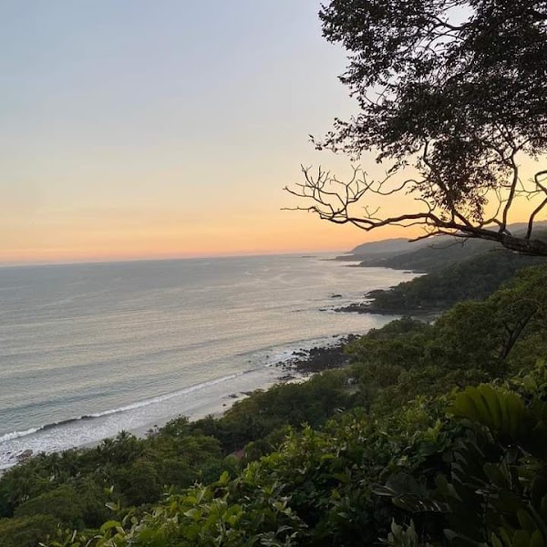
This laid-back road trip crosses by ferry to Paquera, follows the southern Nicoya coast through Curú, Montezuma, Cabuya, and Mal País, then finishes northbound through Santa Teresa at Playa Hermosa.

Practical notes
Use a high-clearance AWD/4WD SUV for the rough, dusty coastal spurs and wet-season washouts. Follow the continuous order Paquera–Curú–Cóbano–Montezuma–Cabuya–Mal País–Santa Teresa–Playa Hermosa. The Cabuya-to-Mal País coastal shortcut can involve rough surfaces or seasonal crossings; ask locally and backtrack through Cóbano when conditions are doubtful. Reserve the Puntarenas–Paquera vehicle ferry, fuel near Paquera or Cóbano, carry cash, and arrive before dark.

Make this route yours

Set your dates, pace, and taste, and RoadAtlas AI rebuilds this trip day by day with real, verified places.

Included with Traveler and Explorer plans.

Explore on the interactive map →

Plan this trip

Third-party planning links may be affiliate links. RoadAtlas stays independent, and you should verify details with the provider.

Day-by-day itinerary

Day 1Puntarenas ferry to Paquera, Curú, and Cóbano

Reserved Puntarenas–Paquera vehicle ferry · Curú Wildlife Refuge · Soda Brisas de la Mar

Day 2Montezuma and Cabuya to Mal País

Montezuma Waterfall · Cabuya and Mal País coast · Soda Tiquicia

Day 3Mal País to Santa Teresa and Playa Hermosa

Santa Teresa surf session · Playa Hermosa sunset · The Bakery Santa Teresa

Stops along the route

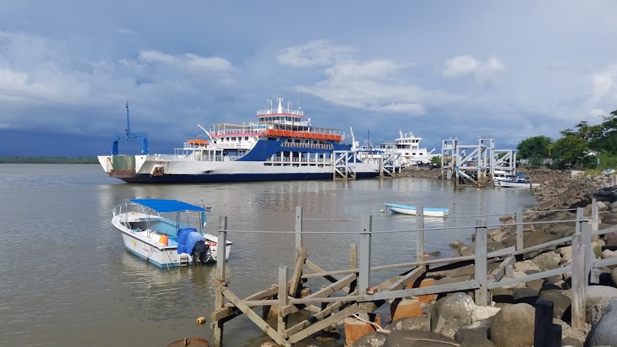
Puntarenas Ferry Terminal — Departure — Nicoya Peninsula Surf Coast — Costa Rica
Departure
Puntarenas Ferry Terminal
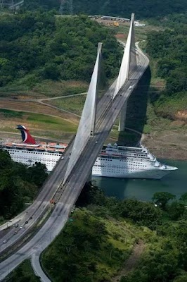
Board the ferry with Gulf views and a breezy seaside start. The route leaves the mainland behind almost at once.
Paquera Ferry Terminal — City — Nicoya Peninsula Surf Coast — Costa Rica
City
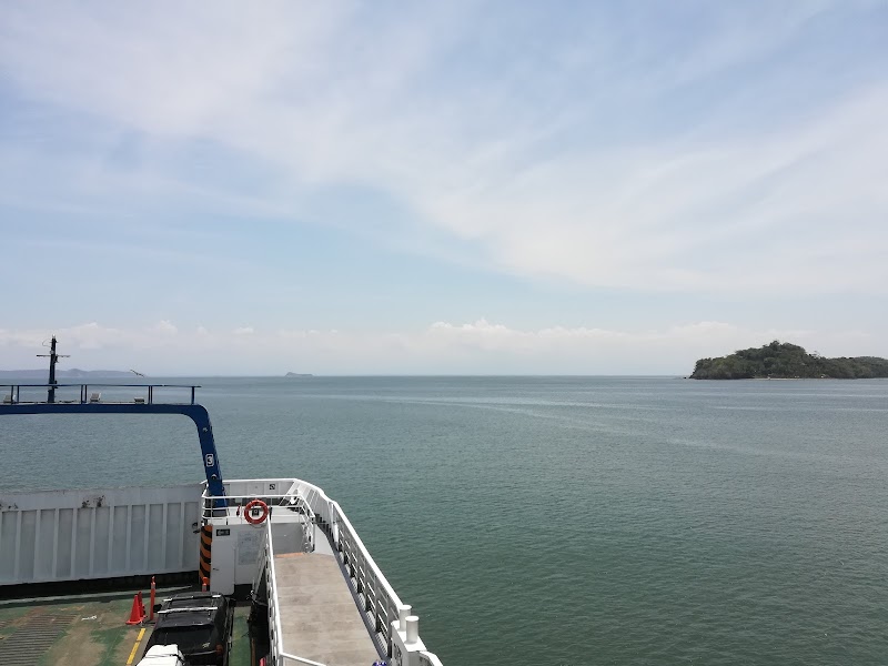
Paquera Ferry Terminal
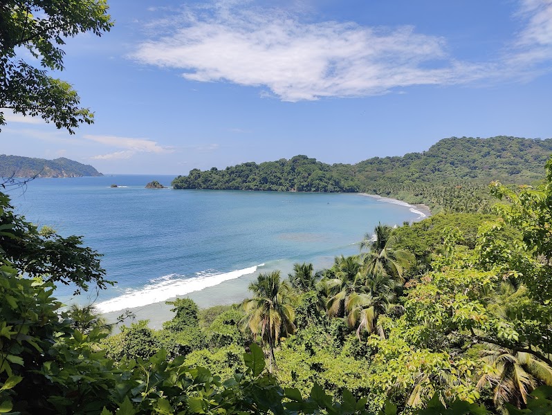
Arrive on the peninsula and feel the roads turn quieter. This is the gateway to beaches, bays, and surf towns.
Cóbano — City — Nicoya Peninsula Surf Coast — Costa Rica
City
Cóbano
The peninsula’s main road junction and the safer fallback route whenever coastal shortcuts are rough or flooded.
Cabuya — City — Nicoya Peninsula Surf Coast — Costa Rica
City
Cabuya
A tiny coastal village with dusty lanes and huge ocean sunsets. It feels remote, with tidepools and a very local pace.
Mal País — City — Nicoya Peninsula Surf Coast — Costa Rica
City
Mal País
A rugged surf outpost with rocky headlands and hidden coves. The road is rougher here, but the views are worth it.
Playa Santa Teresa — City — Nicoya Peninsula Surf Coast — Costa Rica
City
Playa Santa Teresa
A famous surf beach with sunset bars and long golden sand, best reached after Mal País in the continuous south-to-north order.
Show 1 more
Playa Hermosa — Arrival — Nicoya Peninsula Surf Coast — Costa Rica
Arrival
Playa Hermosa
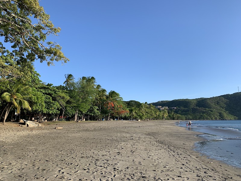
Finish north of Santa Teresa on a broader, quieter surf beach rather than zigzagging across the peninsula.

Things to Do

Curu Wildlife Refuge — Nature — Nicoya Peninsula Surf Coast — Costa Rica
Nature
Curu Wildlife Refuge
A coastal refuge with mangroves, monkeys, and easy beach trails. It is one of the best first stops for wildlife and calm water.
Montezuma Waterfall — Landmark — Nicoya Peninsula Surf Coast — Costa Rica
Landmark
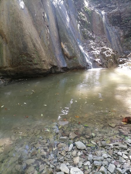
Montezuma Waterfall
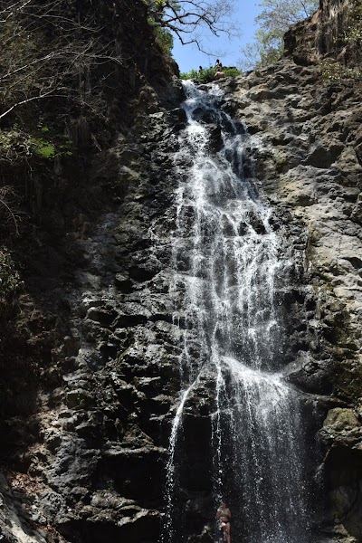
A jungle waterfall near a free-spirited beach town. The pools and short hike make it a classic Nicoya Peninsula stop.
Curu Wildlife Refuge Boat and Trail Day — nature — Nicoya Peninsula Surf Coast — Costa Rica
nature
Curu Wildlife Refuge Boat and Trail Day
Walk easy trails or watch for monkeys, deer, and shorebirds in the refuge. The mix of forest and beach makes it a strong first inland stop.
Montezuma Waterfall Swim — waterfall — Nicoya Peninsula Surf Coast — Costa Rica
waterfall
Montezuma Waterfall Swim
Hike up to the falls and cool off in the pools if conditions are safe. The jungle setting adds a refreshing break from the coast.
Santa Teresa Surf Session — surfing — Nicoya Peninsula Surf Coast — Costa Rica
surfing
Santa Teresa Surf Session
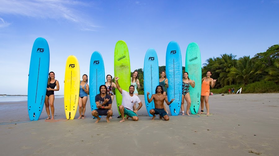
Book a lesson or paddle out on one of Costa Rica's best-known surf beaches. The beach break suits beginners and seasoned surfers alike.
Mal País Sunset Headlands — scenic view — Nicoya Peninsula Surf Coast — Costa Rica
scenic view
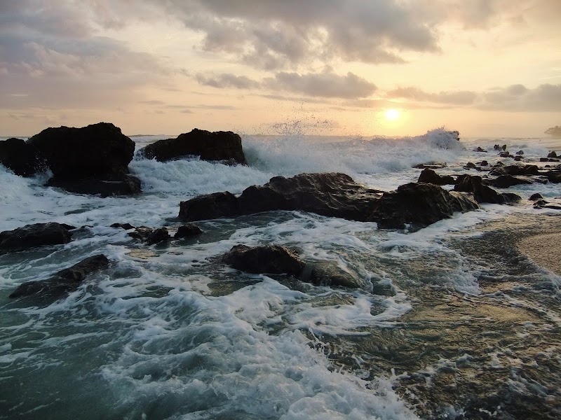
Mal País Sunset Headlands
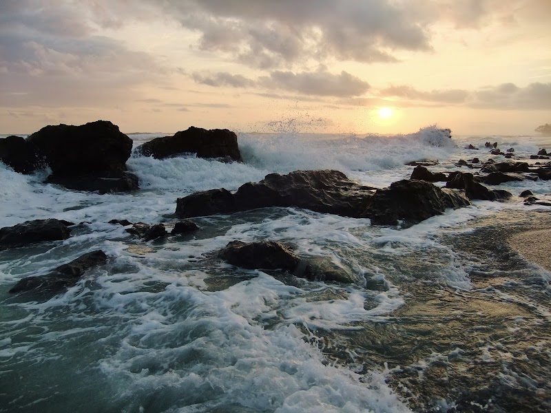
Drive or walk the rocky coastal edges for broad Pacific sunset views. The tidepools and surf make it a great golden-hour stop.

Where to Eat

Los Delfines Restaurant — Costa Rican seafood — Nicoya Peninsula Surf Coast — Costa Rica
Costa Rican seafood
Los Delfines Restaurant
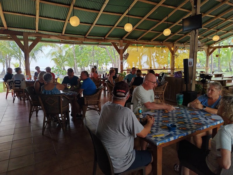
A simple seaside stop for fresh fish, rice, and cold drinks near the ferry side of the route. Good for an easy lunch before heading south.
Soda Brisas de la Mar — Costa Rican soda — Nicoya Peninsula Surf Coast — Costa Rica
Costa Rican soda
Soda Brisas de la Mar
A classic local soda for casados and hearty plates in the Paquera area. It is a practical refuel stop on the peninsula side.
The Bakery Santa Teresa — Bakery cafe — Nicoya Peninsula Surf Coast — Costa Rica
Bakery cafe
The Bakery Santa Teresa
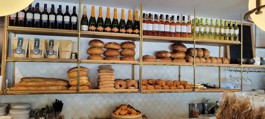
A popular bakery and cafe for coffee, pastries, and casual breakfast in Santa Teresa. It works well before a surf session or a long beach day.
Soda Tiquicia — Costa Rican seafood — Nicoya Peninsula Surf Coast — Costa Rica
Costa Rican seafood
Soda Tiquicia
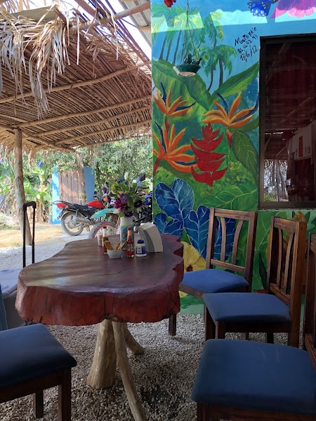
A straightforward local spot for casados, grilled fish, and simple Costa Rican comfort food. It is a solid choice in the Montezuma area.

Nearby and similar drives

Frequently asked questions

How long is the Nicoya Peninsula Surf Coast drive?

The Nicoya Peninsula Surf Coast covers about 115–150 km plus ferry from start to finish.

How long does the Nicoya Peninsula Surf Coast take to drive?

Most travellers spend 3-4 days on the Nicoya Peninsula Surf Coast, depending on stops and pace.

When is the best time to drive the Nicoya Peninsula Surf Coast?

The recommended season for the Nicoya Peninsula Surf Coast is December-April.

Where does the Nicoya Peninsula Surf Coast start and end?

The Nicoya Peninsula Surf Coast runs from Puntarenas Ferry Terminal to Playa Hermosa.

What are the main stops on the Nicoya Peninsula Surf Coast?

The Nicoya Peninsula Surf Coast passes through Puntarenas Ferry Terminal, Paquera Ferry Terminal, Curu Wildlife Refuge.

How difficult is the Nicoya Peninsula Surf Coast to drive?

The Nicoya Peninsula Surf Coast is rated moderate and is best handled with suv only.

Do I need a 4WD for the Nicoya Peninsula Surf Coast?

Yes — the Nicoya Peninsula Surf Coast includes off-road or rough sections that require suv only.

Is the Nicoya Peninsula Surf Coast safe to drive?

Use a high-clearance AWD/4WD SUV for the rough, dusty coastal spurs and wet-season washouts. Follow the continuous order Paquera–Curú–Cóbano–Montezuma–Cabuya–Mal País–Santa Teresa–Playa Hermosa. The Cabuya-to-Mal País coastal shortcut can involve rough surfaces or seasonal crossings; ask locally and backtrack through Cóbano when conditions are doubtful. Reserve the Puntarenas–Paquera vehicle ferry, fuel near Paquera or Cóbano, carry cash, and arrive before dark.

What scenic tier is the Nicoya Peninsula Surf Coast?

The Nicoya Peninsula Surf Coast is a notable drive — Notable scenic drives — strong character routes that locals know well and that reward travellers willing to step beyond the most-photographed roads.