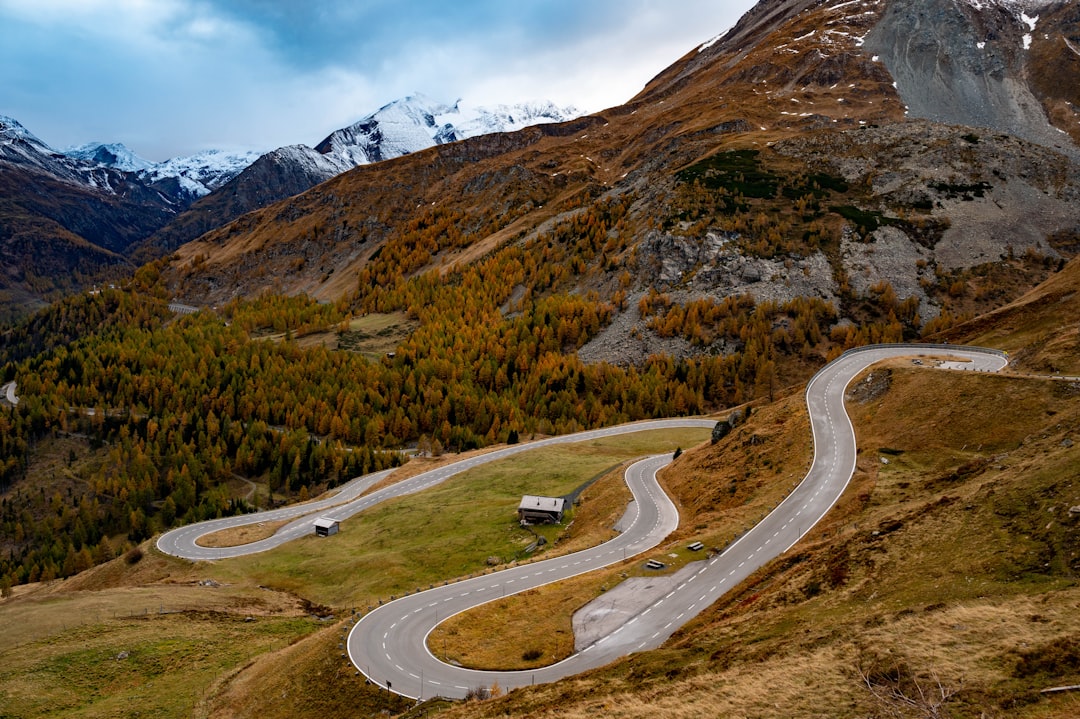
Grossglockner High Alpine Road
Austria
In short: Grossglockner High Alpine Road is a 48 km one-way (96 km round trip) mountain road trip in Austria, typically driven over 1 day, best in Early May–early Nov when officially open. Highlights: Bruck an der Großglocknerstraße, Fuschertörl, Edelweiss-Spitze.
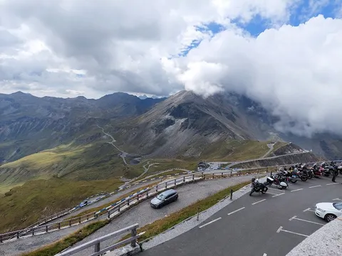
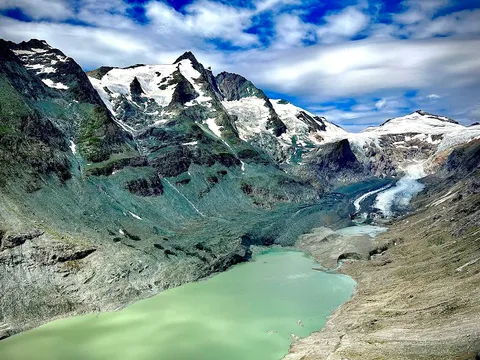
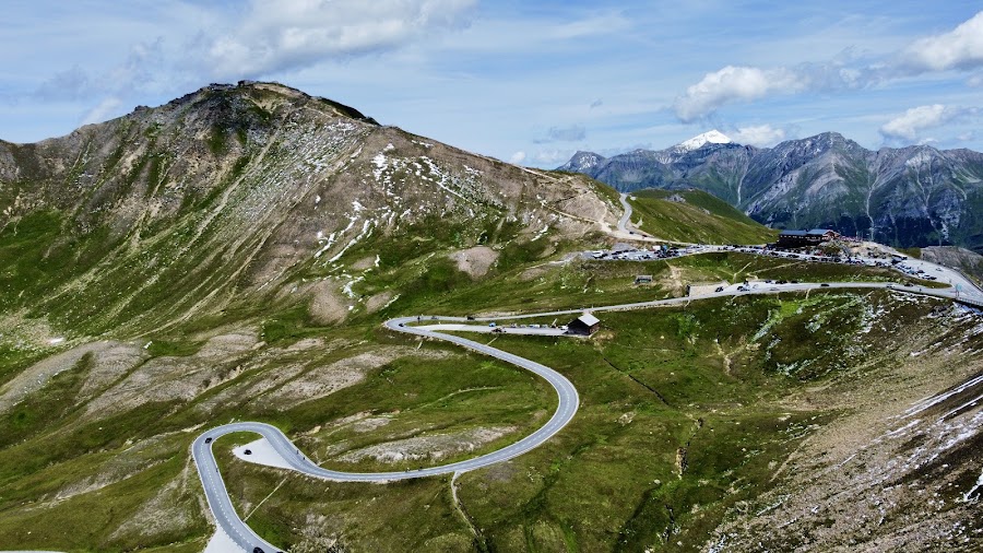
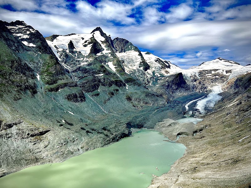
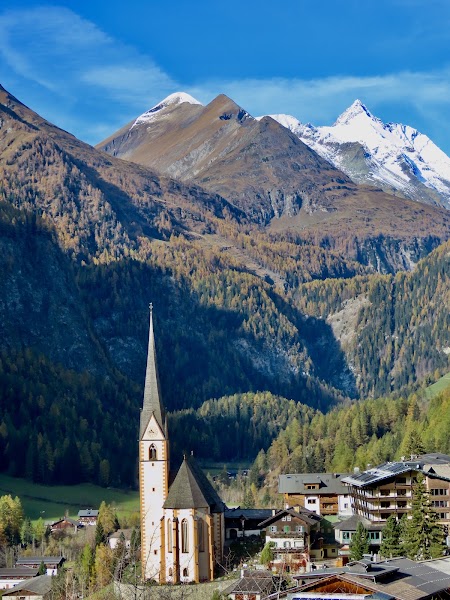
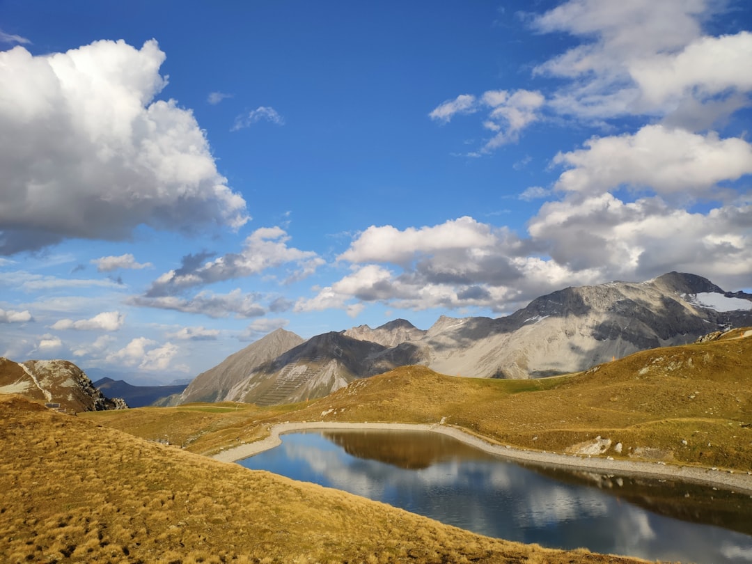
There's a reason the Grossglockner Road is often cited as the finest drive in the Alps, a 48 km rollercoaster of sheer glacier-encrusted mountains, waterfalls, forested slopes, jewel-coloured lakes, and 4,000 m peaks on almost every distractingly lovely bend. The crown is Grossglockner itself at 3,798 m, Austria's highest peak, and the rapidly retreating Pasterze Glacier below the Kaiser-Franz-Josefs-Höhe lookout.
Make this route yours
Set your dates, pace, and taste, and RoadAtlas AI rebuilds this trip day by day with real, verified places.
Included with Traveler and Explorer plans.
Plan this trip
Third-party planning links may be affiliate links. RoadAtlas stays independent, and you should verify details with the provider.
Day-by-day itinerary
Day 1Bruck / Fusch to Heiligenblut on the Grossglockner High Alpine Road
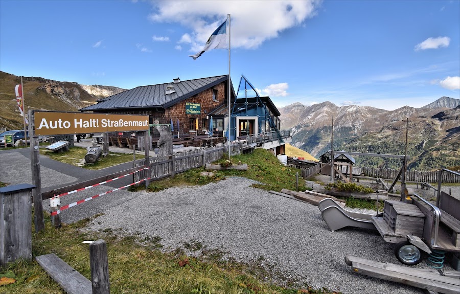
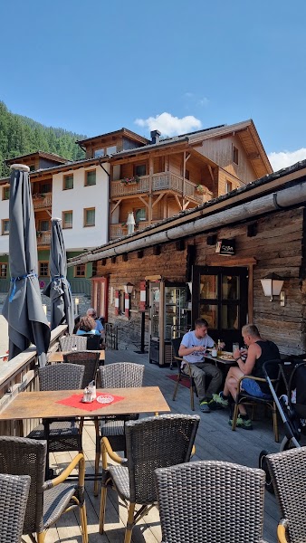
Fuscher Törl and Edelweiss-Spitze · Kaiser-Franz-Josefs-Höhe visitor centre/viewpoint · Mankeiwirt
Stops along the route
Things to Do
Where to Eat
Nearby and similar drives
Frequently asked questions
How long is the Grossglockner High Alpine Road drive?
The Grossglockner High Alpine Road covers 48 km one-way (96 km round trip) from start to finish.
How long does the Grossglockner High Alpine Road take to drive?
Most travellers spend 1 day on the Grossglockner High Alpine Road, depending on stops and pace.
When is the best time to drive the Grossglockner High Alpine Road?
The recommended season for the Grossglockner High Alpine Road is Early May–early Nov when officially open.
Where does the Grossglockner High Alpine Road start and end?
The Grossglockner High Alpine Road runs from Bruck an der Großglocknerstraße to Heiligenblut.
What are the main stops on the Grossglockner High Alpine Road?
The Grossglockner High Alpine Road passes through Bruck an der Großglocknerstraße, Fuschertörl, Edelweiss-Spitze.
How difficult is the Grossglockner High Alpine Road to drive?
The Grossglockner High Alpine Road is rated moderate and is best handled with any vehicle.
Can I drive the Grossglockner High Alpine Road in a regular car?
Yes — the Grossglockner High Alpine Road is paved end-to-end and a regular car is fine in normal conditions.
Is the Grossglockner High Alpine Road EV friendly?
Yes — the Grossglockner High Alpine Road has charger coverage along the route and works as an EV road trip.
Is the Grossglockner High Alpine Road safe to drive?
Official gates normally operate 06:00–20:00 in May, 05:30–21:00 June–August and 06:00–19:30 from September, with last entry 45 minutes before closure. Opening from early May to early November is never guaranteed: check same-day road, weather and event status before paying. The route is 48 km one way to Heiligenblut and 96 km only if returning. Choose the short Kaiser-Franz-Josefs-Höhe viewpoint/visitor-centre visit or allow at least 90 minutes with sturdy footwear for the secured glacier path—never describe them as the same stop. No permit is issued for this road, but every vehicle needs the current paid toll/admission product; buy it only through the operator or an authorized seller and retain proof for the gate.
What scenic tier is the Grossglockner High Alpine Road?
The Grossglockner High Alpine Road is a legendary drive — The world's most extraordinary drives — once-in-a-lifetime road trips with cinematic scenery, legendary roads, and unmatched cultural depth.