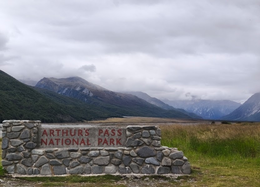
Arthur's Pass
New Zealand
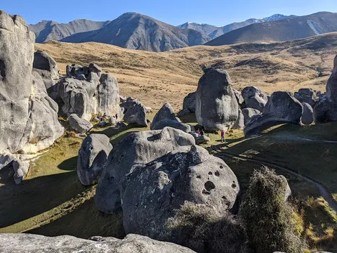
In short: Arthur's Pass is a 245 km mountain road trip in New Zealand, typically driven over 2 days, best in December to April. Highlights: Christchurch, Castle Hill Basin, Kura Tawhiti Conservation Area.
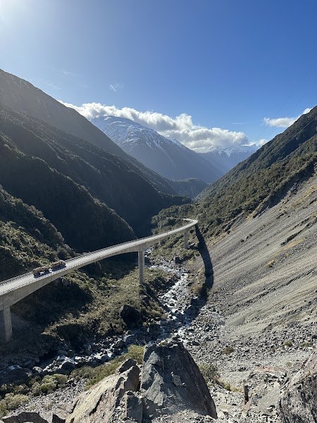
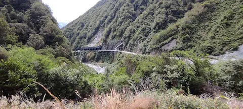
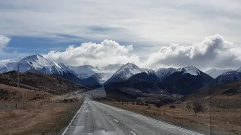
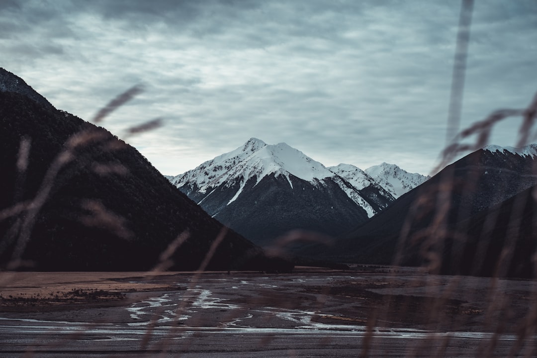
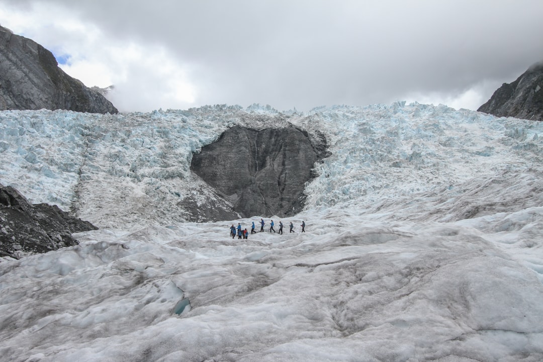
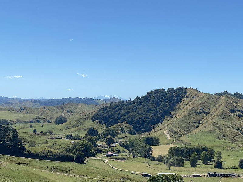
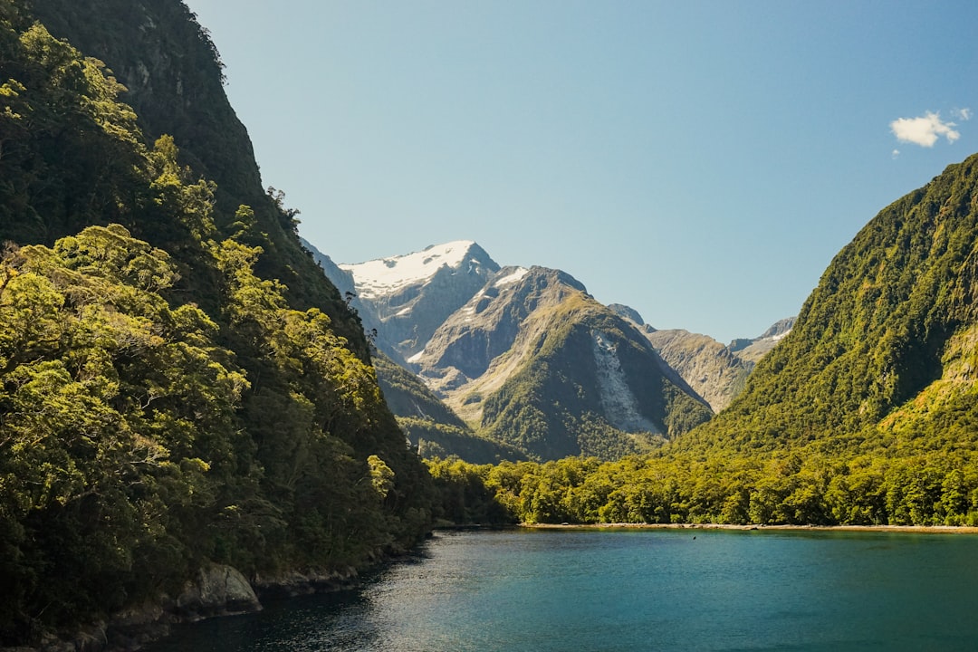
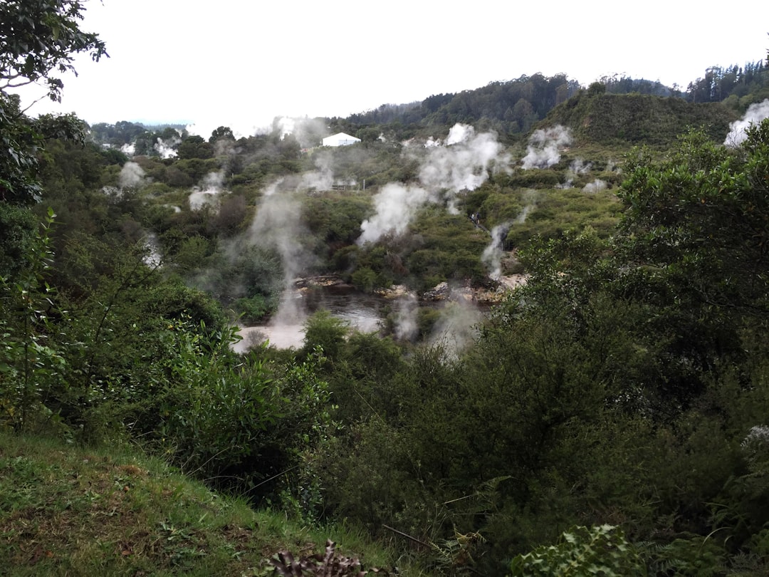
This classic South Island drive runs from Christchurch across the Canterbury Plains to the alpine village of Arthur’s Pass and on to the West Coast. It pairs braided rivers, beech forest, steep mountain walls, and dramatic viaduct engineering with easy roadside access to short walks and viewpoints.
Make this route yours
Set your dates, pace, and taste, and RoadAtlas AI rebuilds this trip day by day with real, verified places.
Included with Traveler and Explorer plans.
Plan this trip
Third-party planning links may be affiliate links. RoadAtlas stays independent, and you should verify details with the provider.
Day-by-day itinerary
Day 1Christchurch to Arthurs Pass Village
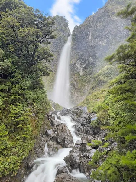
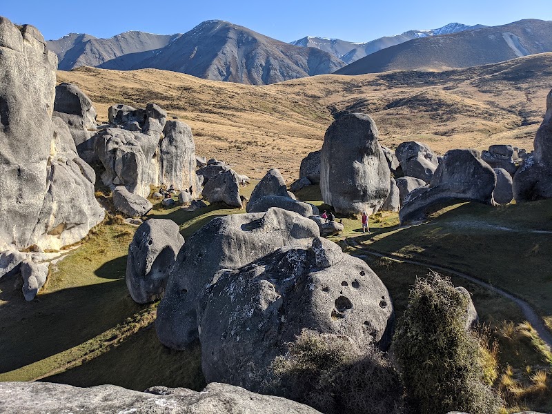
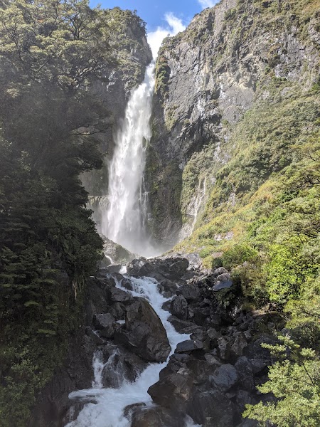
Kura Tawhiti / Castle Hill · Devils Punchbowl Walking Track · Sheffield Pie Shop
Day 2Arthurs Pass Village to Greymouth via Otira
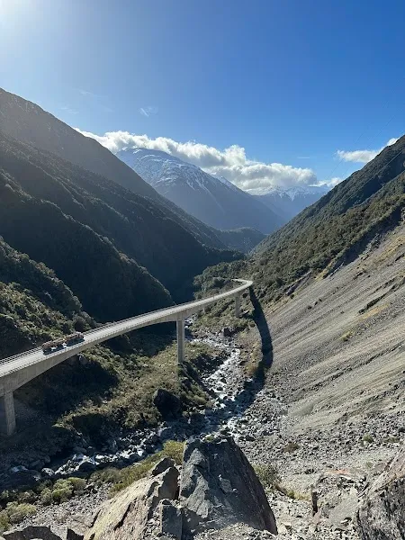
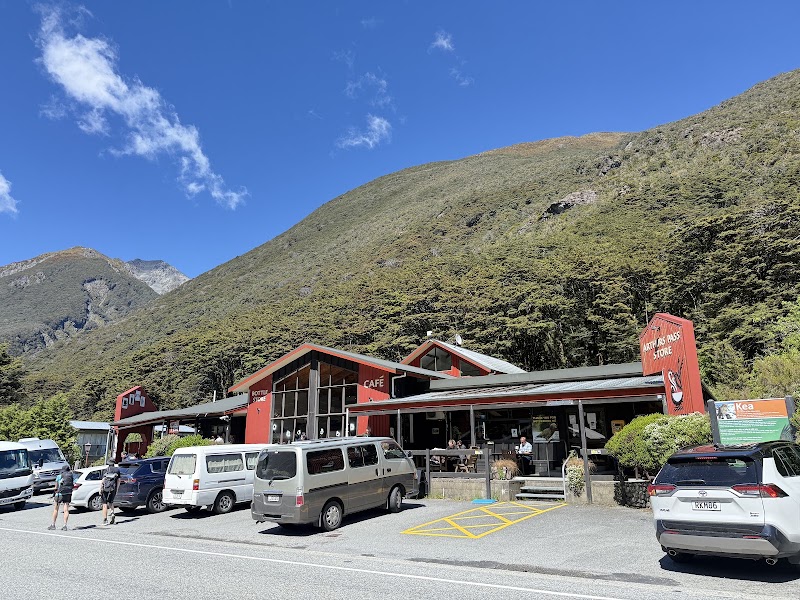
Arthur's Pass Visitor Centre · Otira Viaduct Lookout · The Bealey Hotel
Stops along the route


Things to Do

Show 2 more

Where to Eat


Nearby and similar drives
Frequently asked questions
How long is the Arthur's Pass drive?
The Arthur's Pass covers 245 km from start to finish.
How long does the Arthur's Pass take to drive?
Most travellers spend 2 days on the Arthur's Pass, depending on stops and pace.
When is the best time to drive the Arthur's Pass?
The recommended season for the Arthur's Pass is December to April.
Where does the Arthur's Pass start and end?
The Arthur's Pass runs from Christchurch to Greymouth.
What are the main stops on the Arthur's Pass?
The Arthur's Pass passes through Christchurch, Castle Hill Basin, Kura Tawhiti Conservation Area.
How difficult is the Arthur's Pass to drive?
The Arthur's Pass is rated moderate and is best handled with any vehicle.
Can I drive the Arthur's Pass in a regular car?
Yes — the Arthur's Pass is paved end-to-end and a regular car is fine in normal conditions.
Is the Arthur's Pass safe to drive?
Check NZTA Journey Planner (https://www.journeys.nzta.govt.nz/) for SH73 and DOC Arthur's Pass alerts (https://www.doc.govt.nz/parks-and-recreation/places-to-go/canterbury/places/arthurs-pass-national-park/) immediately before departure and again before crossing: snow, ice, rockfall or wind can impose chains, no-towing rules or closure during the day. Carry warm waterproof layers, obey restrictions and make walks conditional on current track/weather advice.
What scenic tier is the Arthur's Pass?
The Arthur's Pass is a iconic drive — Iconic road trips that anchor a region's reputation — postcard scenery, headline highways, and the routes most travellers want to drive.