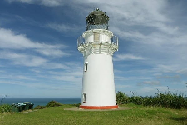
East Cape
New Zealand
In short: East Cape is a 334 km scenic road trip in New Zealand, typically driven over 2 days, best in September-April. Highlights: Gisborne, Tolaga Bay Wharf, Ruatoria.
A two-day northbound SH35 drive from Gisborne through Tolaga Bay, Ruatoria and Te Araroa to East Cape and Opotiki, sequenced without backtracking and with recovery-work contingency.
Make this route yours
Set your dates, pace, and taste, and RoadAtlas AI rebuilds this trip day by day with real, verified places.
Included with Traveler and Explorer plans.
Plan this trip
Third-party planning links may be affiliate links. RoadAtlas stays independent, and you should verify details with the provider.
Day-by-day itinerary
Day 1Gisborne to Ruatoria via Tolaga Bay and Tokomaru Bay
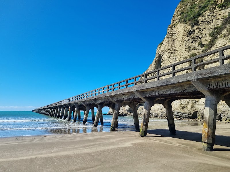
Tolaga Bay Wharf Walk · Anaura Bay · Peppers Cafe
Day 2Ruatoria to Opotiki via Te Araroa, East Cape and Hicks Bay
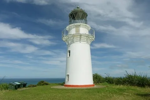
East Cape Lighthouse Walk · Maraehako Bay · Hicks Bay Motel Lodge Restaurant
Stops along the route
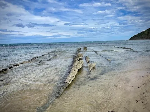



Things to Do


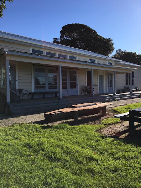
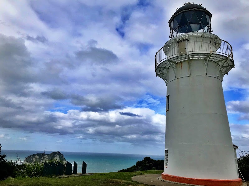
Show 1 more

Where to Eat




Nearby and similar drives
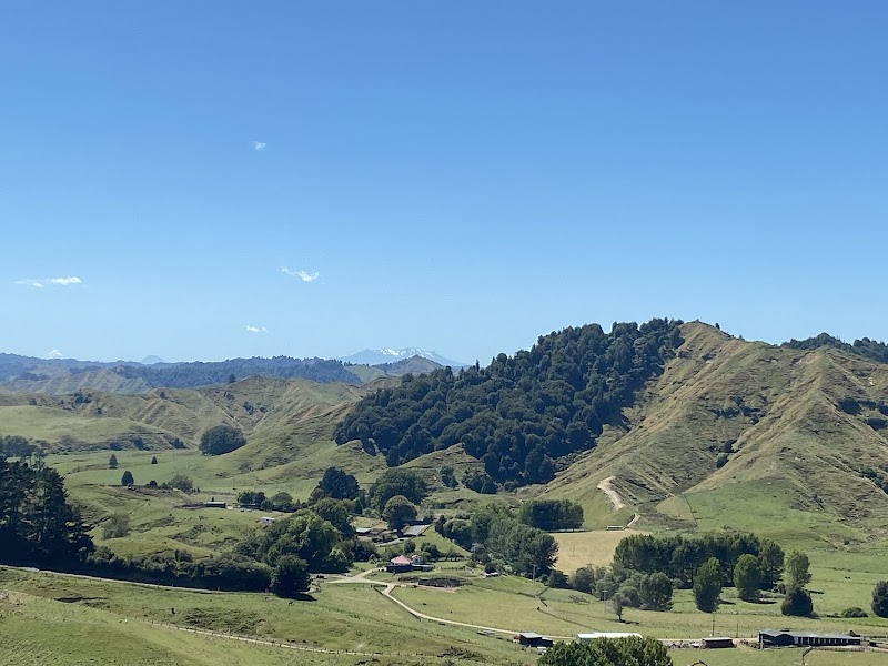



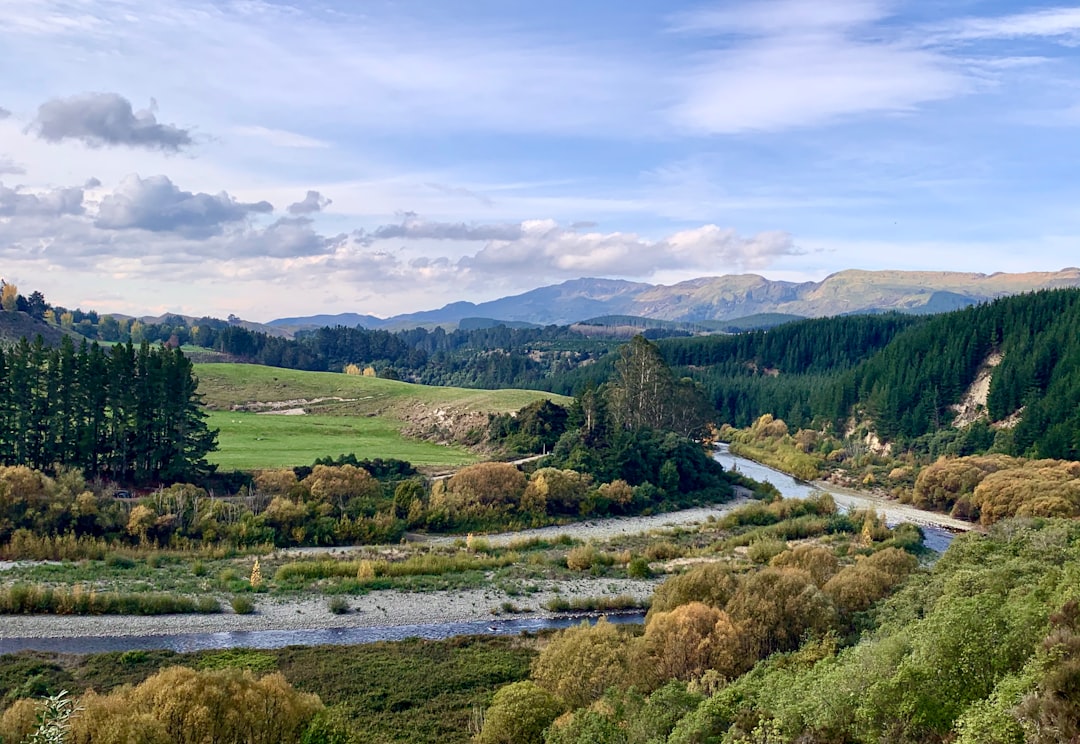

Frequently asked questions
How long is the East Cape drive?
The East Cape covers 334 km from start to finish.
How long does the East Cape take to drive?
Most travellers spend 2 days on the East Cape, depending on stops and pace.
When is the best time to drive the East Cape?
The recommended season for the East Cape is September-April.
Where does the East Cape start and end?
The East Cape runs from Gisborne to Ōpōtiki.
What are the main stops on the East Cape?
The East Cape passes through Gisborne, Tolaga Bay Wharf, Ruatoria.
How difficult is the East Cape to drive?
The East Cape is rated moderate and is best handled with any vehicle.
Can I drive the East Cape in a regular car?
Yes — the East Cape is paved end-to-end and a regular car is fine in normal conditions.
How many fuel stops are needed on the East Cape?
Plan around 0 refuels (or about 1 EV charges) along the East Cape, based on its 334 km length.
Is the East Cape safe to drive?
SH35 is remote and remains affected by active Tairawhiti recovery work, stop/go controls, slips and weather closures. Check the NZTA SH35 recovery page (https://www.nzta.govt.nz/projects/sh-maintenance-programme/tairawhiti/sh35-recovery) and Journey Planner (https://www.journeys.nzta.govt.nz/) immediately before each leg, allow substantial delay or an extra night, refuel whenever available, and carry food, water and offline maps.
What scenic tier is the East Cape?
The East Cape is a notable drive — Notable scenic drives — strong character routes that locals know well and that reward travellers willing to step beyond the most-photographed roads.