
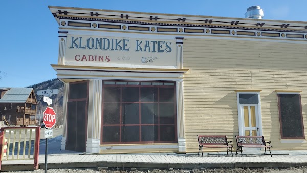
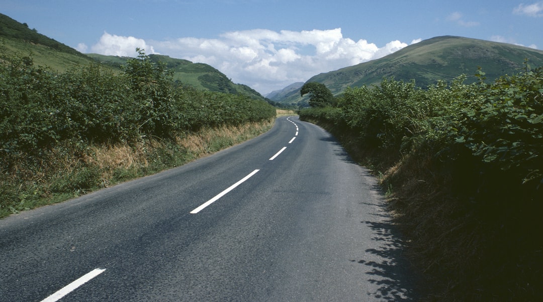
Top of the World Highway
Kanada
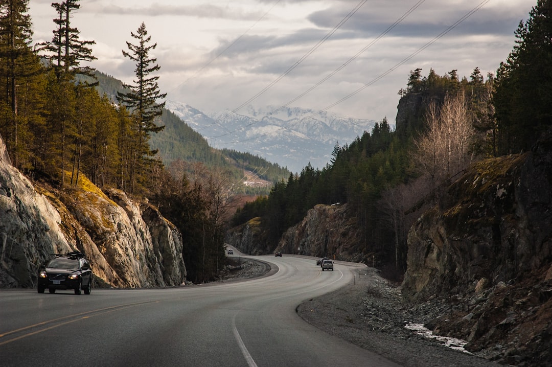
Ringkasnya: Top of the World Highway adalah perjalanan indah sepanjang 108 km di Kanada, biasanya ditempuh dalam 2-3 jam, terbaik pada Juni-September. Sorotan: Dawson City, Midnight Dome, Top of the World Highway Lookout.
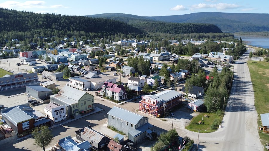
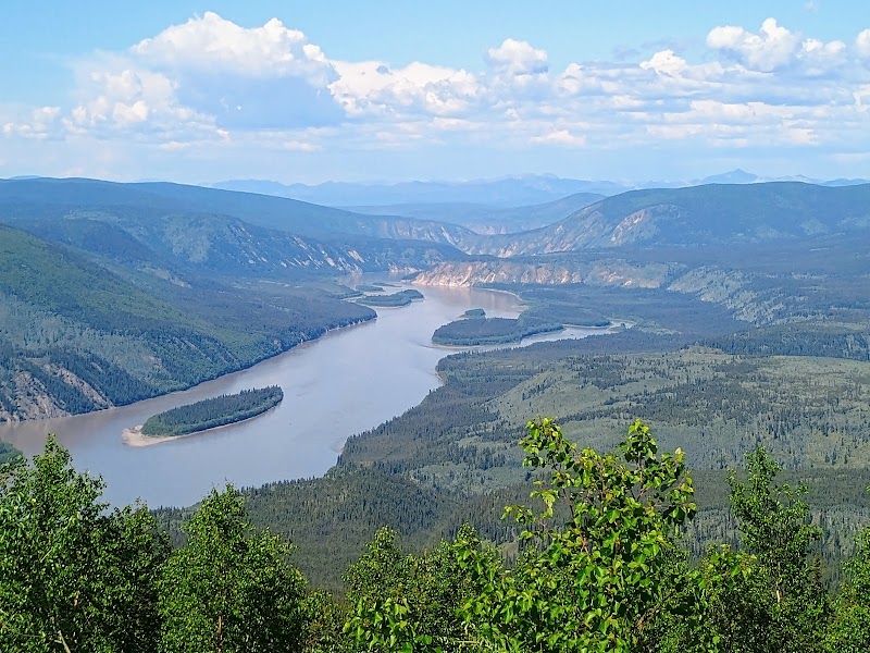
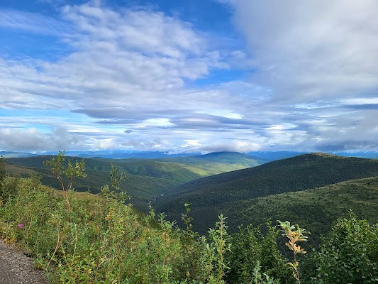
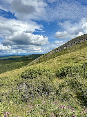
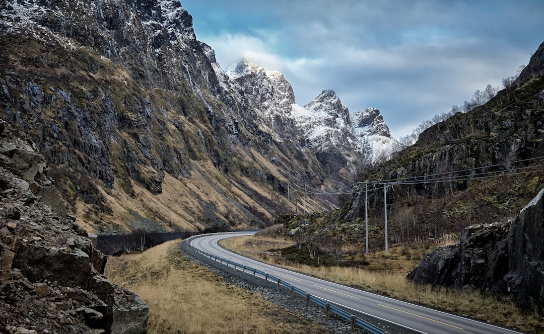
Naik keluar dari Dawson City menuju punggung bukit alpine tinggi, tempat jalan kerikil mengikuti pembagi Yukon–Alaska bermil-mil di atas batas pohon. Perjalanan ini menghadirkan pemandangan 360 derajat yang luas, sejarah demam emas, dan penurunan dramatis menuju perlintasan perbatasan terpencil di Poker Creek lalu masuk ke Chicken, Alaska.
Plan this trip
Third-party planning links may be affiliate links. RoadAtlas stays independent, and you should verify details with the provider.
Perhentian sepanjang rute
Aktivitas

Tempat Makan

Rute terkait
Rute terdekat dan serupa
Pertanyaan yang sering diajukan
Berapa panjang rute Top of the World Highway?
Rute Top of the World Highway sepanjang 108 km dari awal hingga akhir.
Berapa lama waktu yang dibutuhkan untuk menempuh Top of the World Highway?
Sebagian besar pelancong menghabiskan 2-3 jam di rute Top of the World Highway, tergantung perhentian dan tempo.
Kapan waktu terbaik untuk menempuh rute Top of the World Highway?
Musim yang disarankan untuk rute Top of the World Highway adalah Juni-September.
Di mana rute Top of the World Highway dimulai dan berakhir?
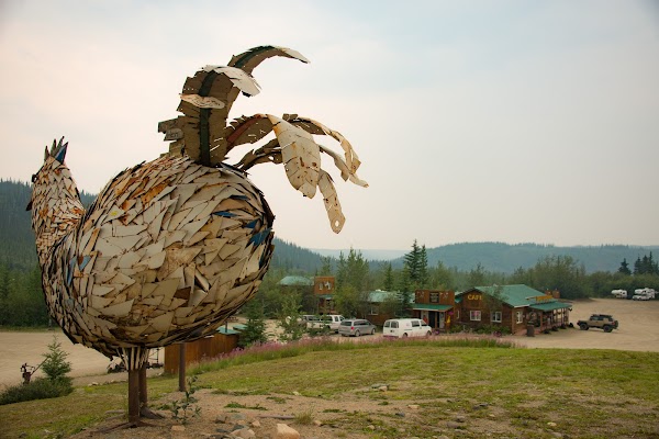
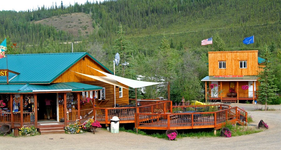
Rute Top of the World Highway membentang dari Dawson City hingga Chicken Gold Camp & Outpost.
Apa saja perhentian utama di rute Top of the World Highway?
Rute Top of the World Highway melewati Dawson City, Midnight Dome, Top of the World Highway Lookout.
Bisakah saya menempuh rute Top of the World Highway dengan mobil biasa?
Ya, rute Top of the World Highway beraspal sepenuhnya dan mobil biasa cukup memadai dalam kondisi normal.
Apakah saya butuh izin atau dokumen perbatasan untuk rute Top of the World Highway?
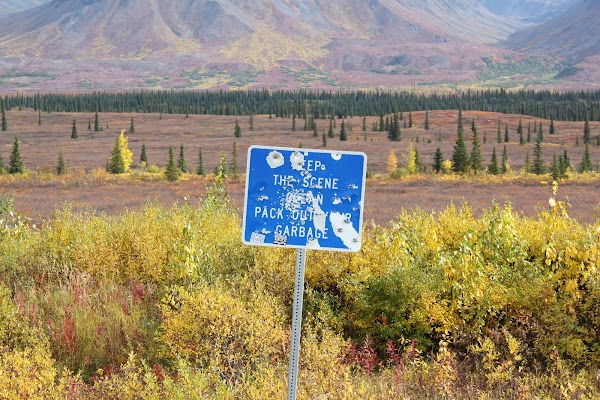
Ya, rute Top of the World Highway memerlukan izin, biaya, atau dokumen perbatasan. Rencanakan lebih awal: Ini adalah rute musiman terpencil dengan perlintasan perbatasan di Poker Creek/Top of the World. Layanan sangat minim, isi bahan bakar di Dawson City, dan periksa kondisi jalan serta jam operasional perbatasan sebelum berangkat. Harapkan tanjakan curam, punggung bukit terbuka, dan kemungkinan penutupan terkait cuaca.
Apakah rute Top of the World Highway aman untuk dilewati?
Ini adalah rute musiman terpencil dengan perlintasan perbatasan di Poker Creek/Top of the World. Layanan sangat minim, isi bahan bakar di Dawson City, dan periksa kondisi jalan serta jam operasional perbatasan sebelum berangkat. Harapkan tanjakan curam, punggung bukit terbuka, dan kemungkinan penutupan terkait cuaca.
Tingkat panorama apa yang dimiliki rute Top of the World Highway?
Rute Top of the World Highway adalah jalur ikonik. Iconic road trips that anchor a region's reputation — postcard scenery, headline highways, and the routes most travellers want to drive.