Ruta Panorámica Puerto Rico
Porto Rico
En bref: Ruta Panorámica Puerto Rico est un road trip panoramique de 115 km en Porto Rico, généralement parcouru en 1-2 jours, idéal en décembre à avril. À voir : Mayagüez, Bosque Estatal de Guilarte, Cerro de Punta.
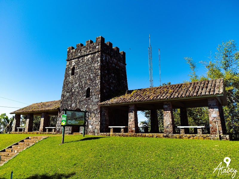
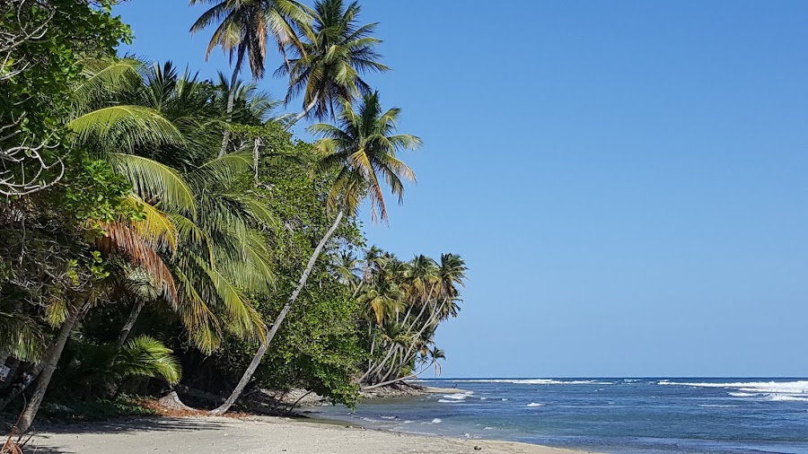
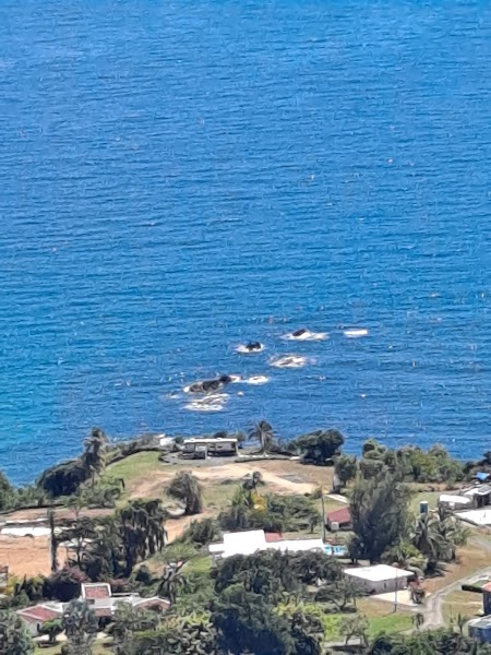
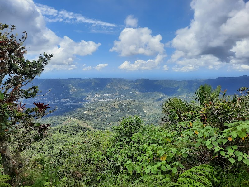
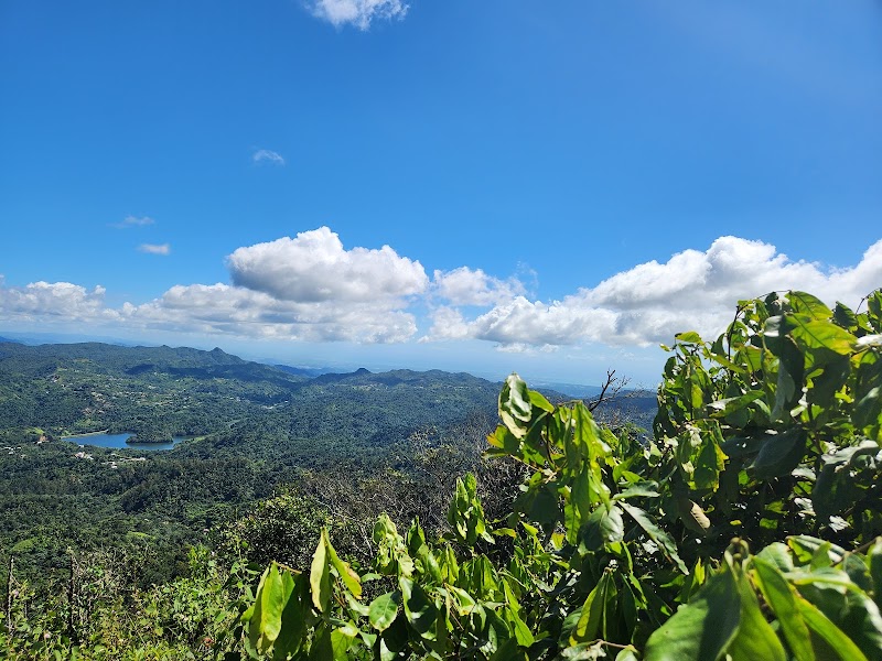
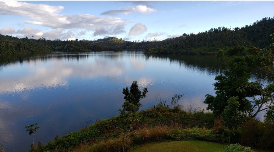
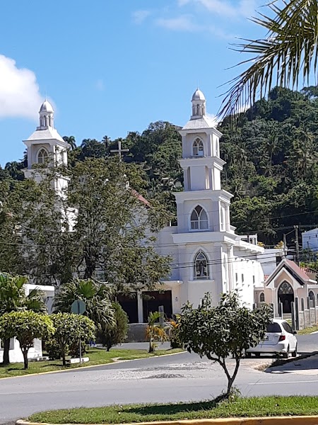
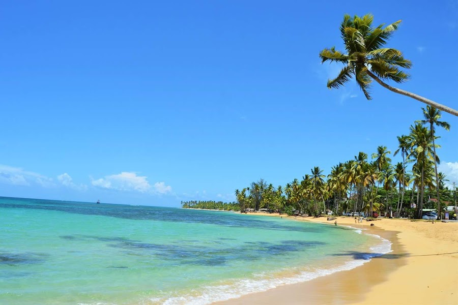
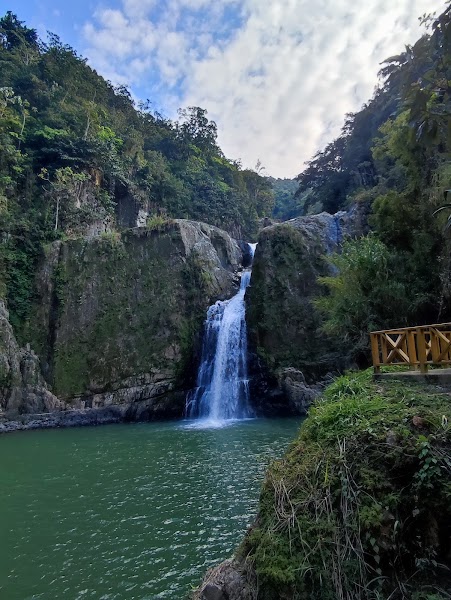
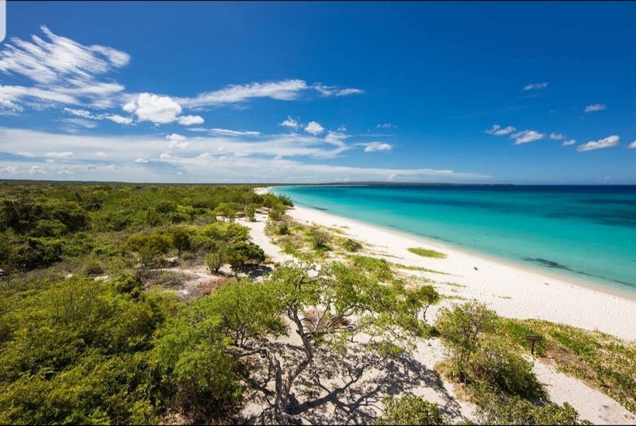
La Ruta Panorámica de Porto Rico est une route de la montagne à la côte à travers l’intérieur de l’île, reliant des crêtes boisées, des villes de café et des belvédères panoramiques. Le tronçon classique du road trip va des hautes terres de l’ouest, près de Mayagüez, jusqu’au côté est autour de Maunabo, avec des virages en épingle, l’air frais de la forêt nuageuse et des paysages qui changent à chaque montée.
Plan this trip
Third-party planning links may be affiliate links. RoadAtlas stays independent, and you should verify details with the provider.
Étapes sur la route
À faire

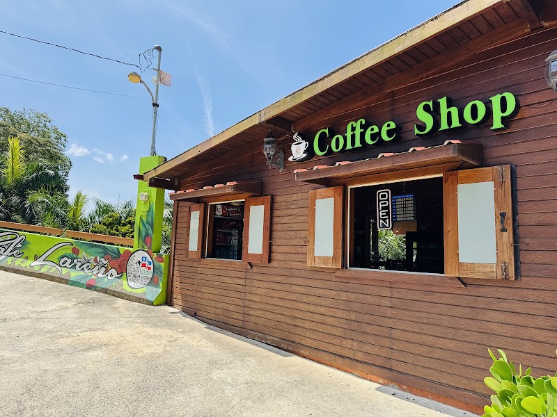
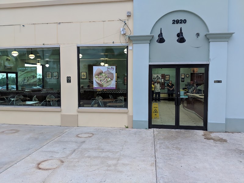
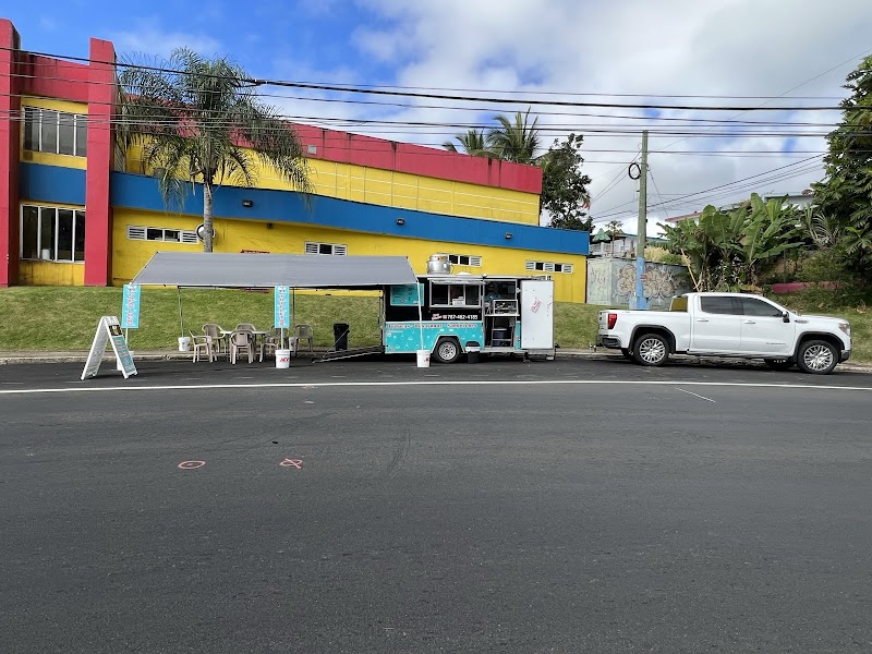
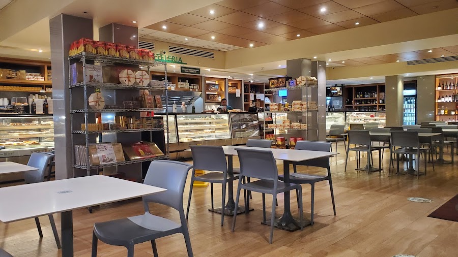
Où manger
Itinéraires associés
Itinéraires voisins et similaires
Questions fréquentes
Quelle est la longueur de la Ruta Panorámica Puerto Rico ?
La Ruta Panorámica Puerto Rico couvre 115 km de bout en bout.
Combien de temps faut-il pour parcourir la Ruta Panorámica Puerto Rico ?
La plupart des voyageurs consacrent 1-2 jours à la Ruta Panorámica Puerto Rico, selon les arrêts et le rythme.
Quelle est la meilleure période pour faire la Ruta Panorámica Puerto Rico ?
La saison recommandée pour la Ruta Panorámica Puerto Rico est décembre à avril.
Où commence et se termine la Ruta Panorámica Puerto Rico ?
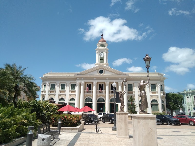
La Ruta Panorámica Puerto Rico relie Mayagüez à Maunabo.
Quelles sont les principales étapes de la Ruta Panorámica Puerto Rico ?
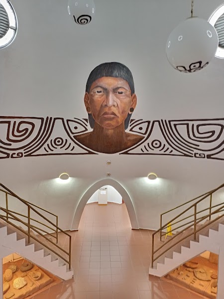
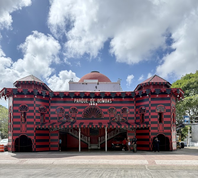
La Ruta Panorámica Puerto Rico traverse Mayagüez, Bosque Estatal de Guilarte, Cerro de Punta.
Peut-on faire la Ruta Panorámica Puerto Rico en voiture ordinaire ?
Oui — la Ruta Panorámica Puerto Rico est goudronnée d'un bout à l'autre, une voiture ordinaire suffit en conditions normales.
Quel niveau scénique pour la Ruta Panorámica Puerto Rico ?
La Ruta Panorámica Puerto Rico est un itinéraire emblématique — Itinéraires emblématiques qui font la réputation d'une région — paysages de carte postale, routes phares et trajets que tout le monde rêve de faire.