De Kangerlussuaq à la calotte glaciaire
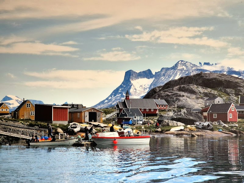
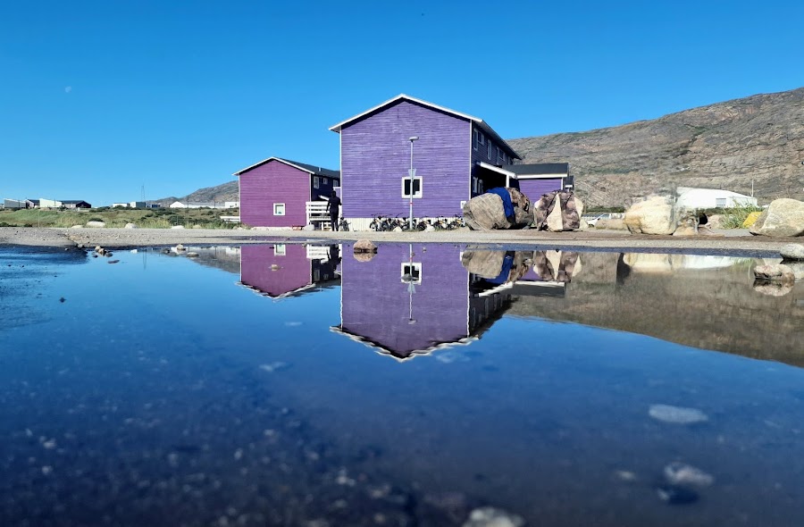
Groenland
En bref: De Kangerlussuaq à la calotte glaciaire est un road trip aventure de 40 km en Groenland, généralement parcouru en demi-journée, idéal en juin à septembre. À voir : Kangerlussuaq Airport, Kangerlussuaq, Old U.S. DYE-2 Radar Station.
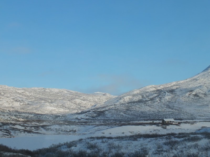
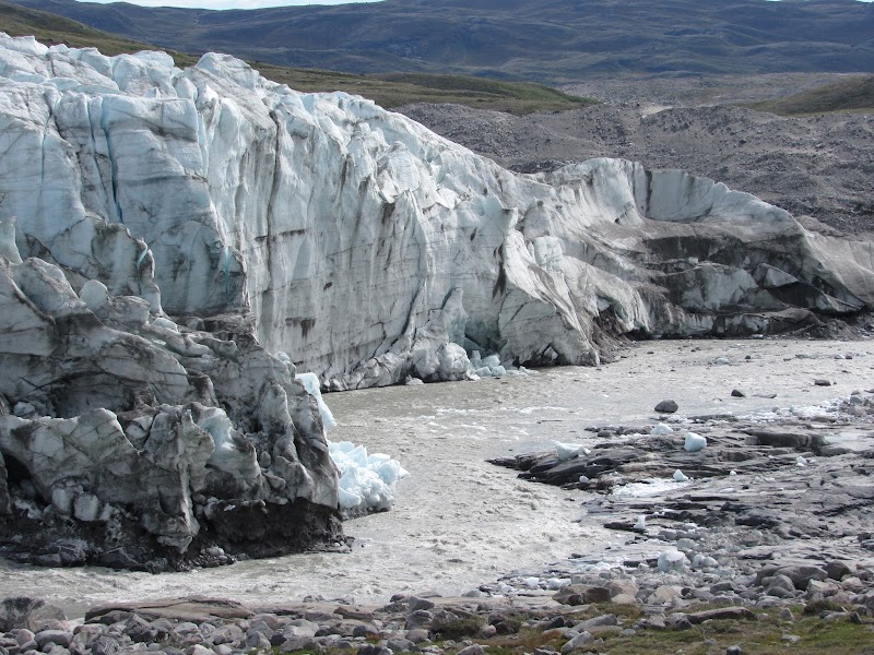
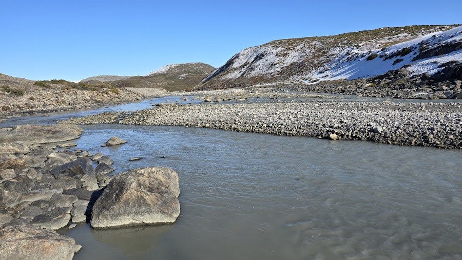
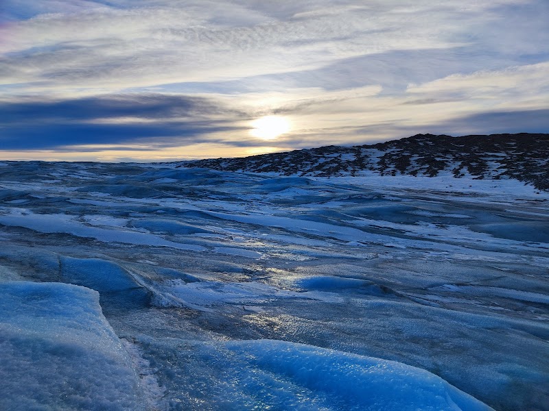
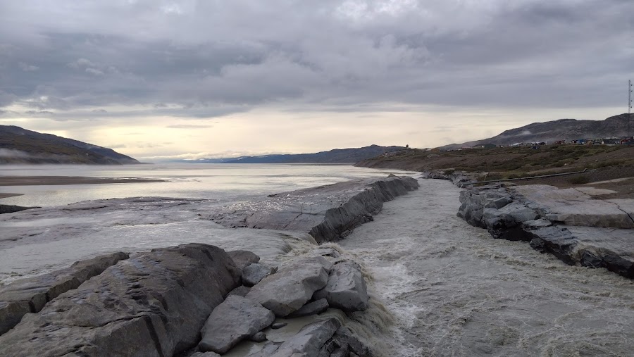
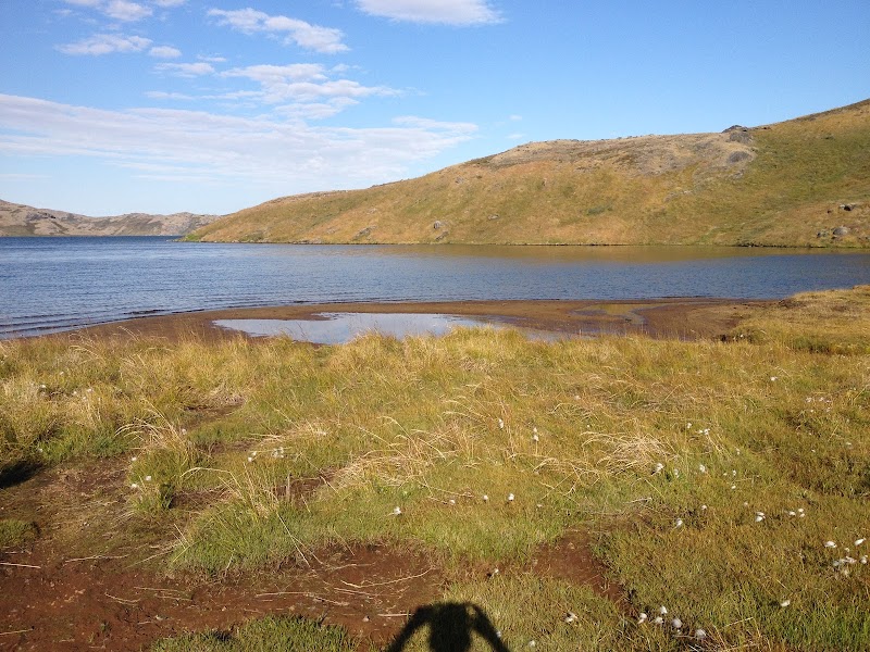
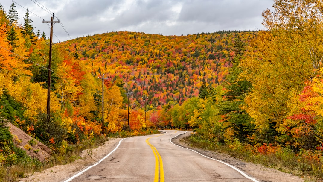
Quittez Kangerlussuaq et partez vers l’ouest à travers l’intérieur brut du Groenland jusqu’au bord de l’immense glacier Russell et de la calotte glaciaire au-delà. La route est courte mais spectaculaire, avec de la toundra, des ruisseaux de fonte tressés et un premier regard inoubliable sur la calotte glaciaire du Groenland.
Plan this trip
Third-party planning links may be affiliate links. RoadAtlas stays independent, and you should verify details with the provider.
Étapes sur la route
À faire

Où manger
Itinéraires associés
Itinéraires voisins et similaires


Questions fréquentes
Quelle est la longueur de la De Kangerlussuaq à la calotte glaciaire ?
La De Kangerlussuaq à la calotte glaciaire couvre 40 km de bout en bout.
Combien de temps faut-il pour parcourir la De Kangerlussuaq à la calotte glaciaire ?
La plupart des voyageurs consacrent demi-journée à la De Kangerlussuaq à la calotte glaciaire, selon les arrêts et le rythme.
Quelle est la meilleure période pour faire la De Kangerlussuaq à la calotte glaciaire ?
La saison recommandée pour la De Kangerlussuaq à la calotte glaciaire est juin à septembre.
Où commence et se termine la De Kangerlussuaq à la calotte glaciaire ?
La De Kangerlussuaq à la calotte glaciaire relie Kangerlussuaq Airport à Greenland Ice Sheet Edge.
Quelles sont les principales étapes de la De Kangerlussuaq à la calotte glaciaire ?
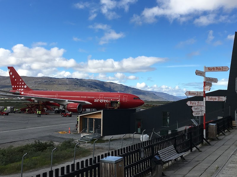
La De Kangerlussuaq à la calotte glaciaire traverse Kangerlussuaq Airport, Kangerlussuaq, Old U.S. DYE-2 Radar Station.
Quelle est la difficulté de la De Kangerlussuaq à la calotte glaciaire ?
La De Kangerlussuaq à la calotte glaciaire est classée modéré et se parcourt mieux avec 4x4 uniquement.
Faut-il un 4x4 pour la De Kangerlussuaq à la calotte glaciaire ?
Oui — la De Kangerlussuaq à la calotte glaciaire comporte des tronçons hors-route ou difficiles qui exigent 4x4 uniquement.
La De Kangerlussuaq à la calotte glaciaire est-elle sûre à conduire ?
Ce n’est pas un road trip classique sur route goudronnée : atteindre la calotte glaciaire nécessite généralement une excursion guidée en 4x4 au départ de Kangerlussuaq, souvent sur des pistes de gravier et de toundra accidentées. La météo peut changer rapidement, et les conditions peuvent limiter l’accès même en été.
Quel niveau scénique pour la De Kangerlussuaq à la calotte glaciaire ?
La De Kangerlussuaq à la calotte glaciaire est un itinéraire notable — Routes remarquables — trajets de caractère bien connus des habitants, qui récompensent les voyageurs prêts à sortir des sentiers les plus photographiés.