Vildmarksvägen Wilderness Road
Suecia
En resumen: Vildmarksvägen Wilderness Road es un viaje paisajístico de 500 km en Suecia, normalmente de 2-3 días y mejor en junio-septiembre. Imperdibles: Strömsund, Döda Fallet, Hoting.
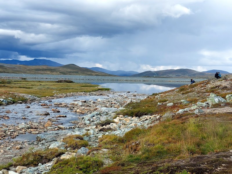
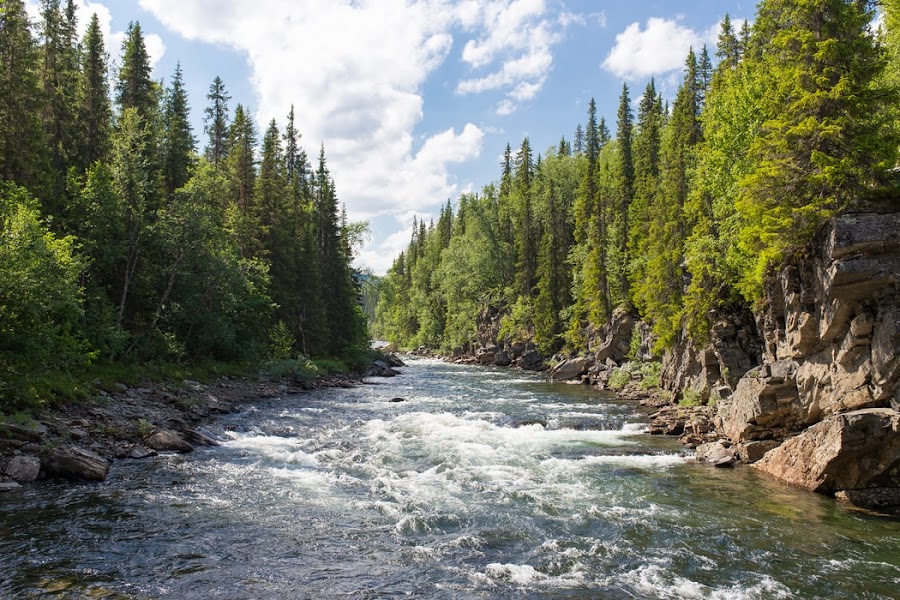
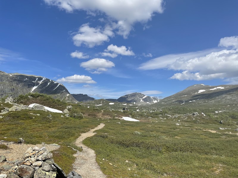
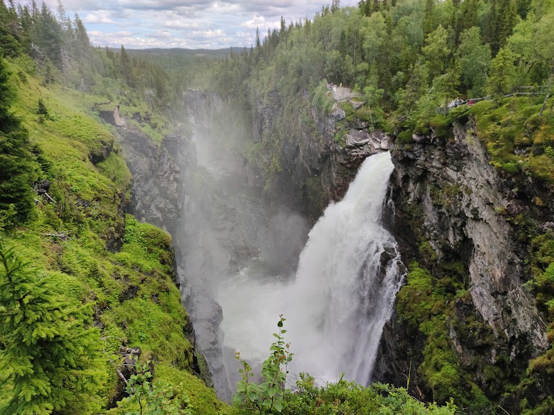
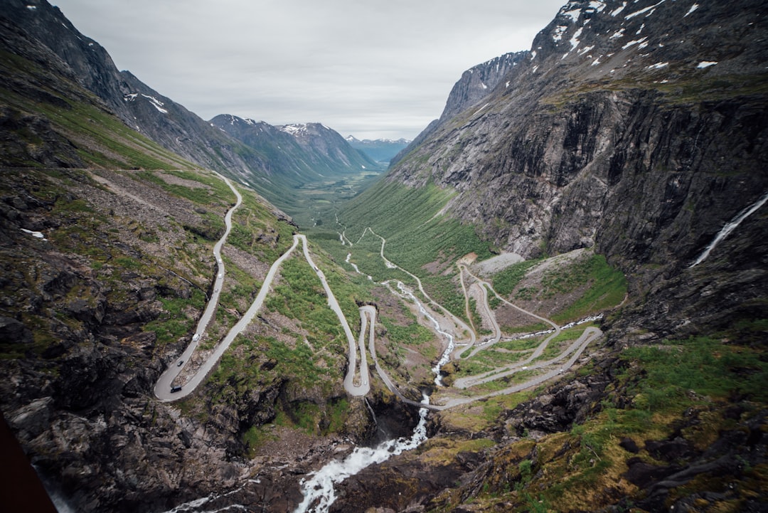
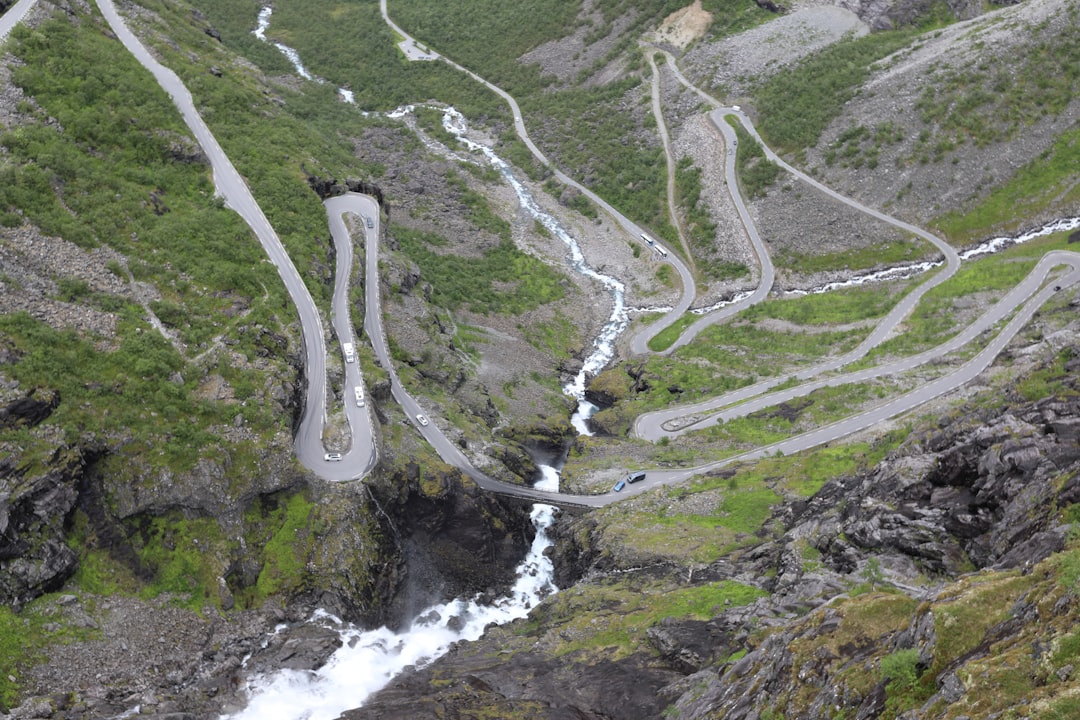
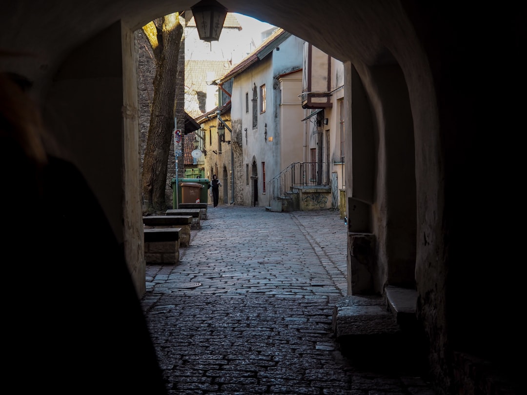
La Vildmarksvägen de Suecia es un clásico circuito septentrional por Laponia, que conecta bosques, lagos y fells de alta montaña entre Strömsund, Gäddede y Vilhelmina. El recorrido combina ríos salmoneros, paisajes sami y amplias vistas de montaña, con fácil acceso a caminatas, cascadas y fauna veraniega.
Plan this trip
Third-party planning links may be affiliate links. RoadAtlas stays independent, and you should verify details with the provider.
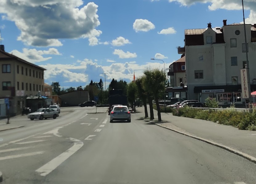
Paradas en la ruta
Qué hacer


Dónde comer


Rutas relacionadas
Rutas cercanas y similares
Preguntas frecuentes
¿Cuánto mide la ruta Vildmarksvägen Wilderness Road?
La ruta Vildmarksvägen Wilderness Road recorre 500 km de inicio a fin.
¿Cuánto se tarda en hacer la ruta Vildmarksvägen Wilderness Road?
La mayoría tarda 2-3 días en la Vildmarksvägen Wilderness Road, según las paradas y el ritmo.
¿Cuál es la mejor época para hacer la Vildmarksvägen Wilderness Road?
La temporada recomendada para la Vildmarksvägen Wilderness Road es junio-septiembre.
¿Dónde empieza y termina la Vildmarksvägen Wilderness Road?
La Vildmarksvägen Wilderness Road va desde Strömsund hasta Vilhelmina.
¿Cuáles son las principales paradas en la Vildmarksvägen Wilderness Road?
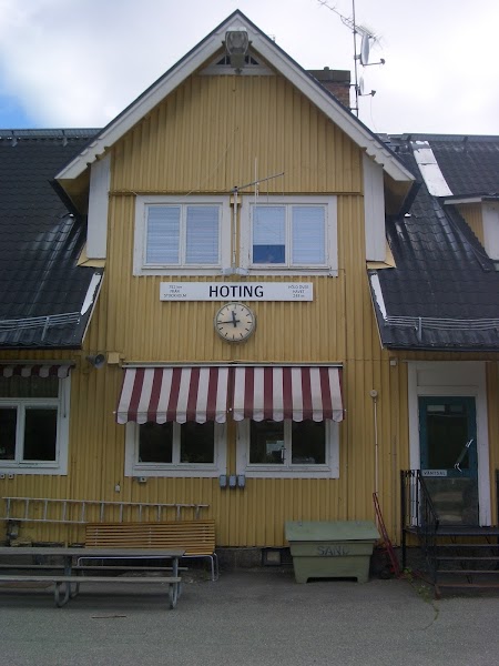
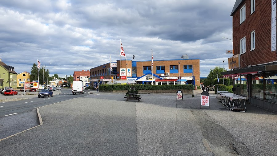
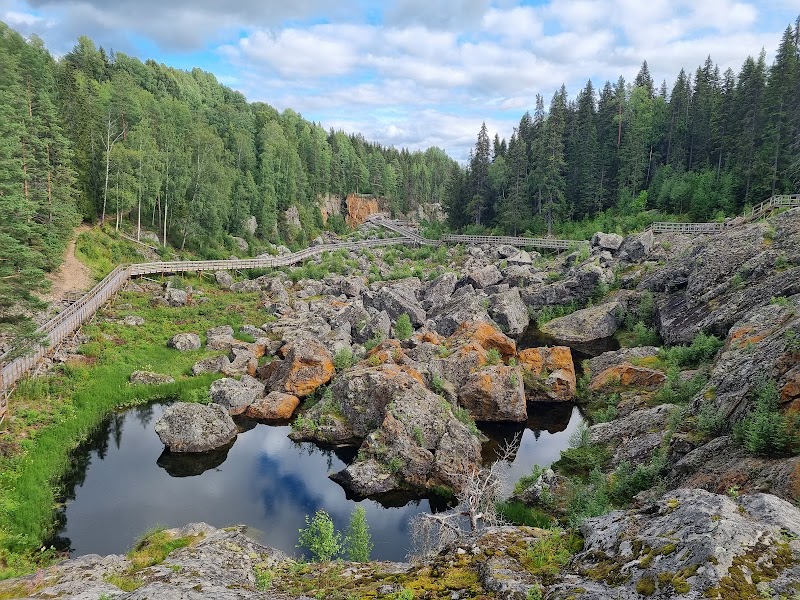
La ruta Vildmarksvägen Wilderness Road pasa por Strömsund, Döda Fallet, Hoting.
¿Se puede hacer la Vildmarksvägen Wilderness Road con un coche normal?
Sí — la Vildmarksvägen Wilderness Road está asfaltada de principio a fin y un coche normal es suficiente en condiciones normales.
¿Cuántas paradas de combustible se necesitan en la Vildmarksvägen Wilderness Road?
Calcula unos 0 repostajes (o unas 1 cargas eléctricas) a lo largo de la Vildmarksvägen Wilderness Road, dada su distancia de 500 km.
¿La Vildmarksvägen Wilderness Road es apta para coches eléctricos?
Sí — la Vildmarksvägen Wilderness Road cuenta con cobertura de cargadores a lo largo del recorrido y funciona como ruta para coche eléctrico.
¿Es seguro conducir la Vildmarksvägen Wilderness Road?
Los servicios son escasos en la meseta alta, así que mantén el depósito de combustible lleno y comprueba los horarios de apertura de alojamientos, cafés y ferris antes de salir. La nieve y los cierres de carreteras pueden prolongarse hasta principios del verano en las zonas más elevadas.
¿Qué nivel escénico tiene la Vildmarksvägen Wilderness Road?
La Vildmarksvägen Wilderness Road es una ruta icónica — Viajes icónicos que definen la reputación de cada región: paisajes de postal, carreteras emblemáticas y las rutas que casi todos quieren conducir.