Ruta Panorámica Puerto Rico
Puerto Rico
En resumen: Ruta Panorámica Puerto Rico es un viaje paisajístico de 115 km en Puerto Rico, normalmente de 1-2 días y mejor en diciembre a abril. Imperdibles: Mayagüez, Bosque Estatal de Guilarte, Cerro de Punta.
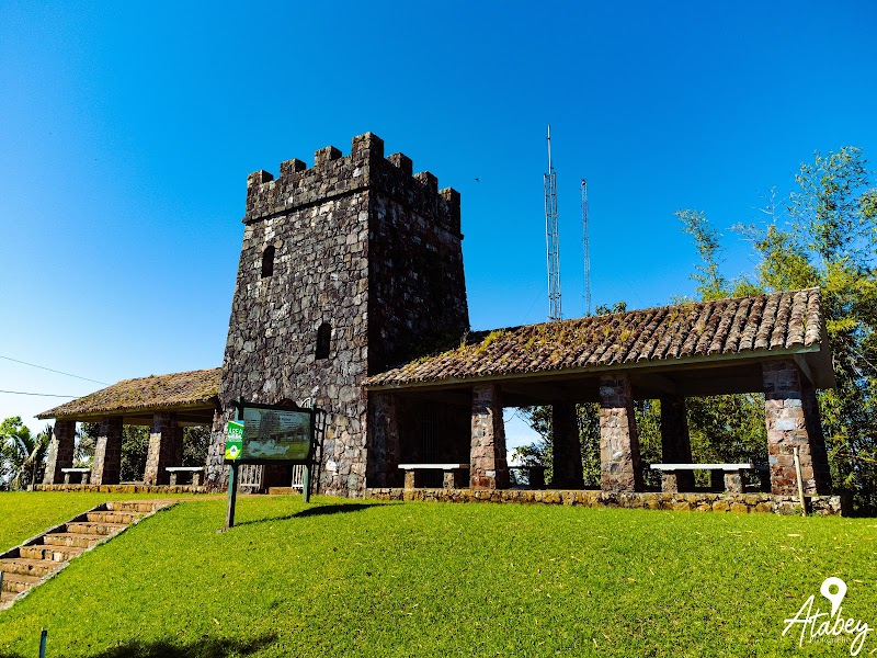
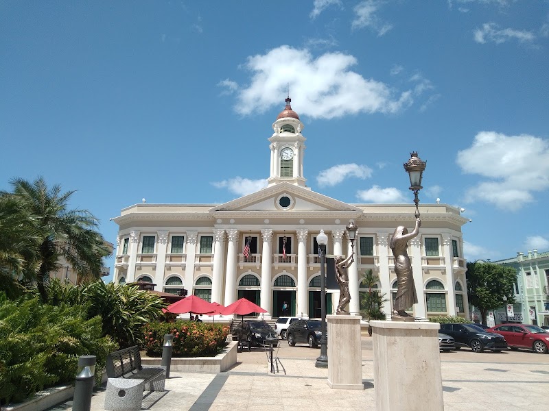
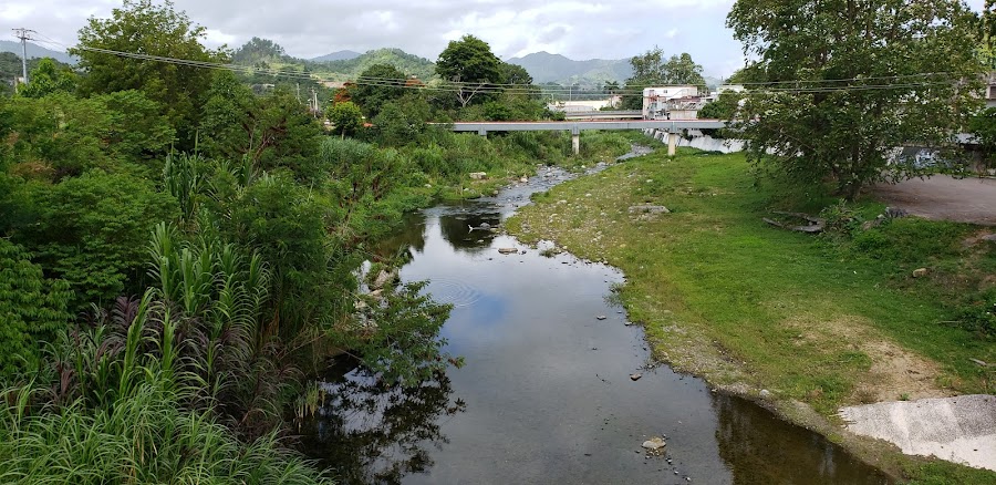
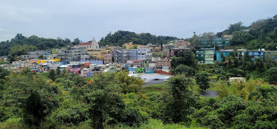
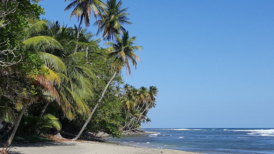
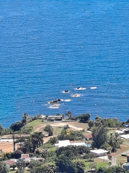
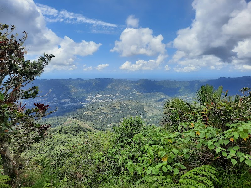
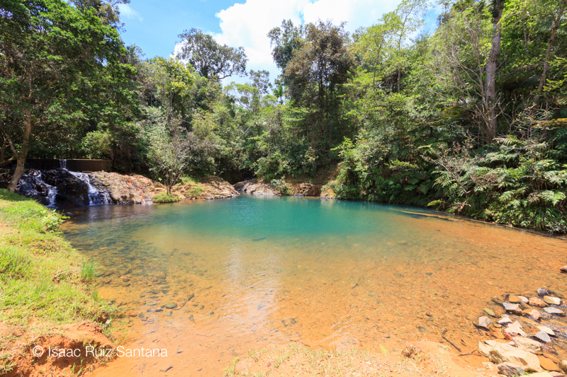
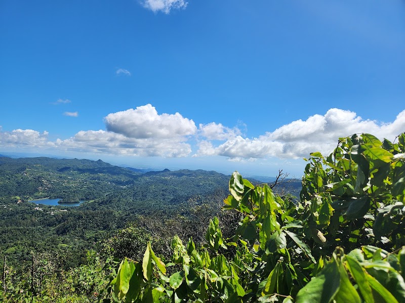
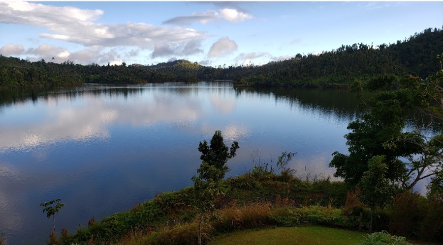
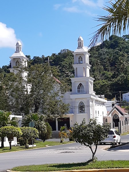
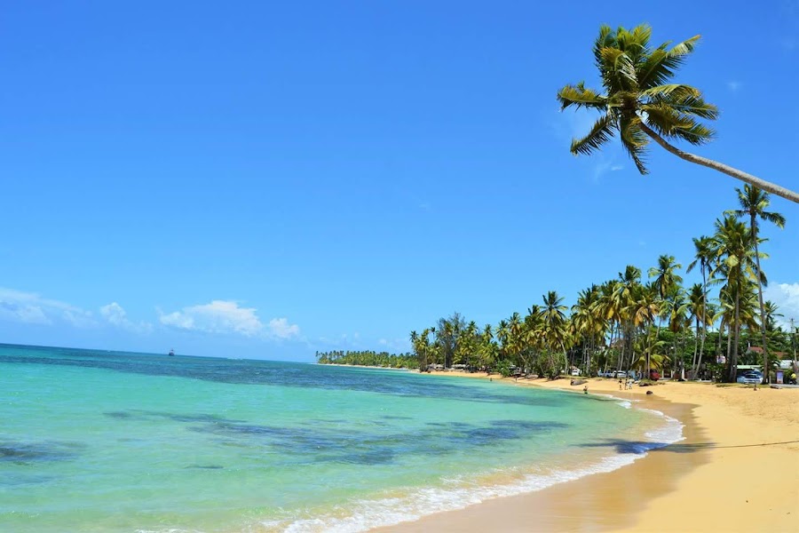
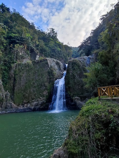
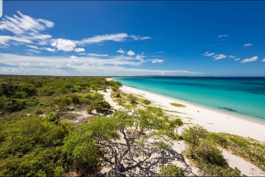
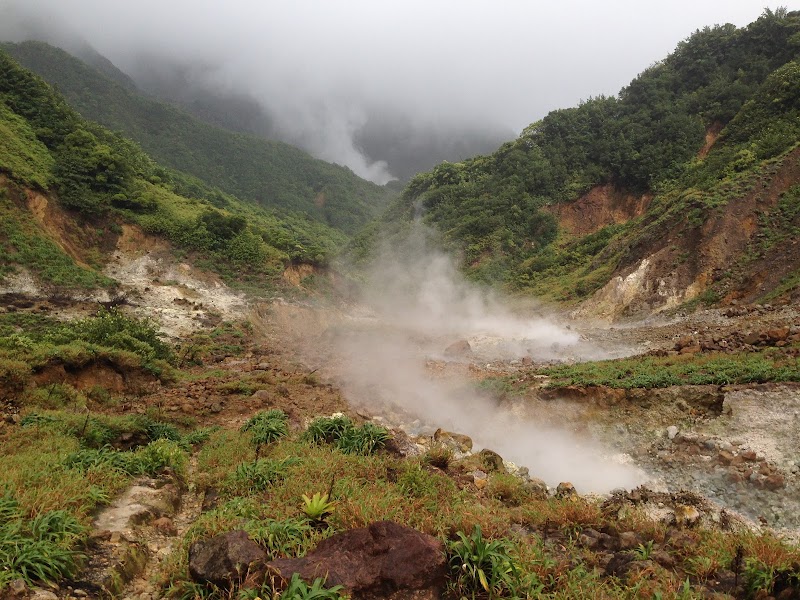
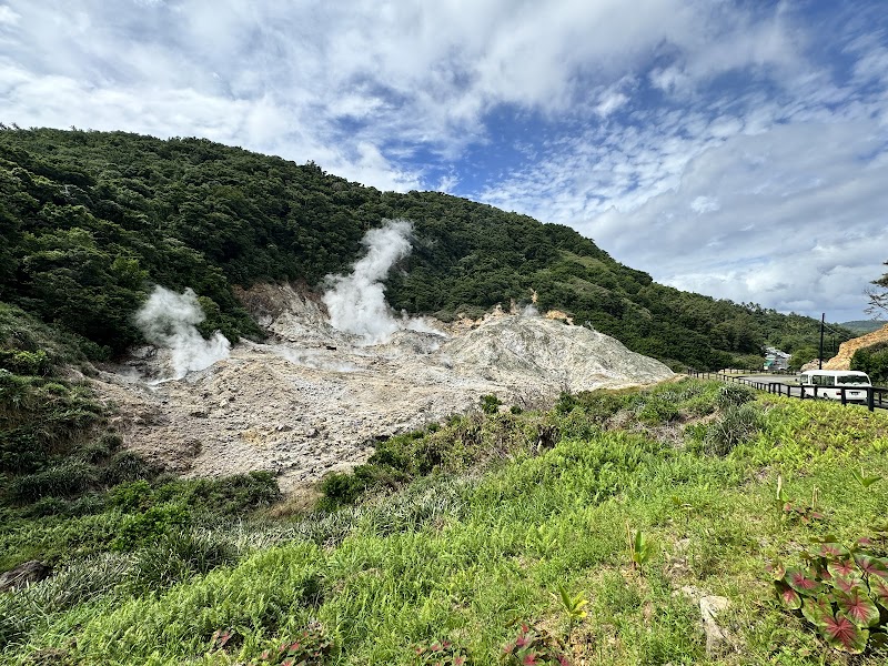
La Ruta Panorámica de Puerto Rico es un recorrido de montaña a costa a través del interior de la isla, que conecta crestas boscosas, pueblos cafeteros y miradores panorámicos. El tramo clásico del viaje por carretera va desde las tierras altas del oeste, cerca de Mayagüez, hasta la parte oriental alrededor de Maunabo, con curvas cerradas, aire fresco de bosque nuboso y vistas que cambian en cada ascenso.
Plan this trip
Third-party planning links may be affiliate links. RoadAtlas stays independent, and you should verify details with the provider.
Paradas en la ruta
Qué hacer

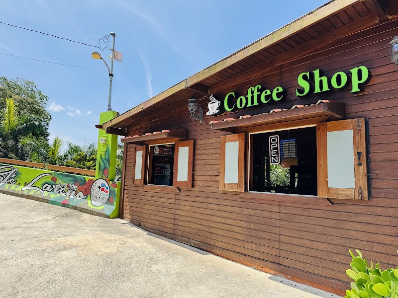
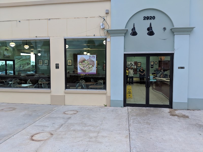
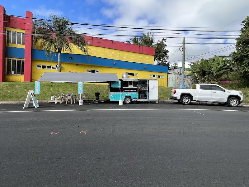
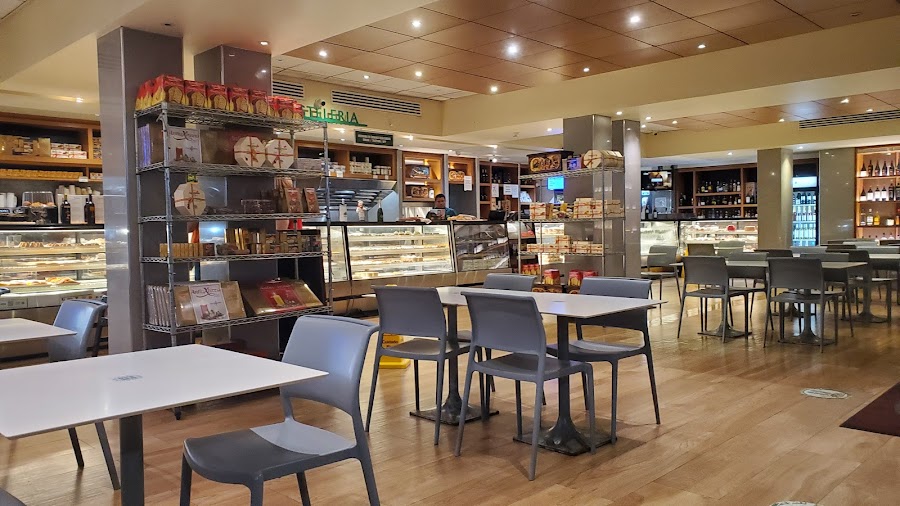
Dónde comer
Rutas relacionadas
Rutas cercanas y similares
Preguntas frecuentes
¿Cuánto mide la ruta Ruta Panorámica Puerto Rico?
La ruta Ruta Panorámica Puerto Rico recorre 115 km de inicio a fin.
¿Cuánto se tarda en hacer la ruta Ruta Panorámica Puerto Rico?
La mayoría tarda 1-2 días en la Ruta Panorámica Puerto Rico, según las paradas y el ritmo.
¿Cuál es la mejor época para hacer la Ruta Panorámica Puerto Rico?
La temporada recomendada para la Ruta Panorámica Puerto Rico es diciembre a abril.
¿Dónde empieza y termina la Ruta Panorámica Puerto Rico?
La Ruta Panorámica Puerto Rico va desde Mayagüez hasta Maunabo.
¿Cuáles son las principales paradas en la Ruta Panorámica Puerto Rico?
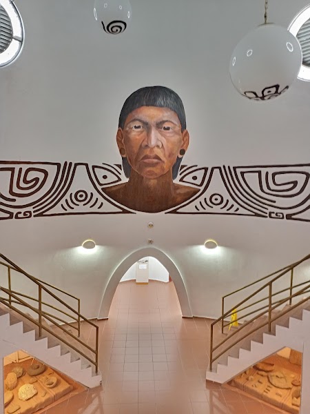
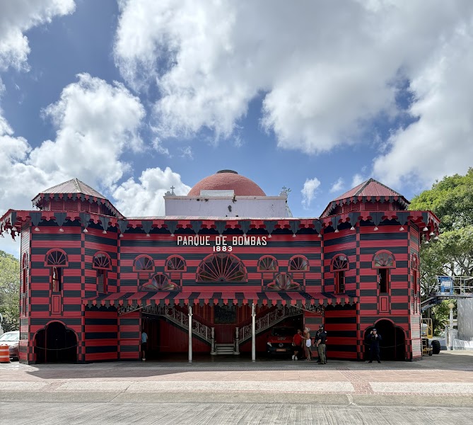
La ruta Ruta Panorámica Puerto Rico pasa por Mayagüez, Bosque Estatal de Guilarte, Cerro de Punta.
¿Se puede hacer la Ruta Panorámica Puerto Rico con un coche normal?
Sí — la Ruta Panorámica Puerto Rico está asfaltada de principio a fin y un coche normal es suficiente en condiciones normales.
¿Qué nivel escénico tiene la Ruta Panorámica Puerto Rico?
La Ruta Panorámica Puerto Rico es una ruta icónica — Viajes icónicos que definen la reputación de cada región: paisajes de postal, carreteras emblemáticas y las rutas que casi todos quieren conducir.