Von Oaxaca zum Pazifik
Mexiko
Kurz gesagt: Von Oaxaca zum Pazifik ist ein kulturell Roadtrip von 650 km plus Küstenausflüge in Mexiko, üblich in 7 Tage gefahren, ideal von November – Mai. Highlights: Oaxaca-Stadt, Tlacolula, Mitla.
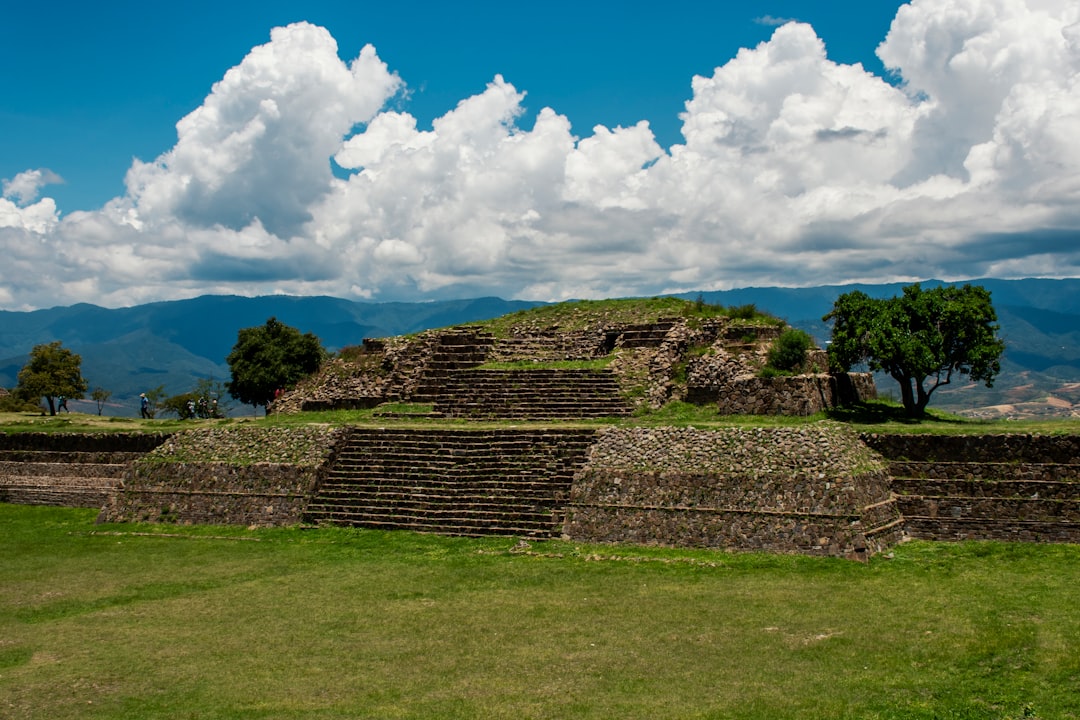
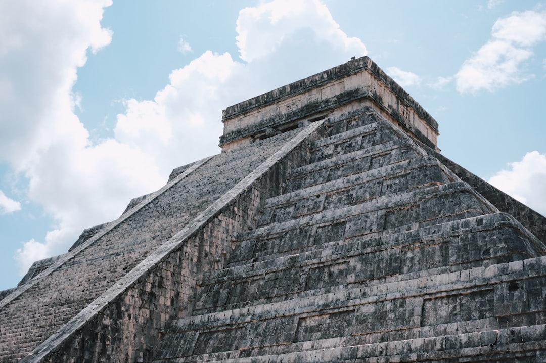
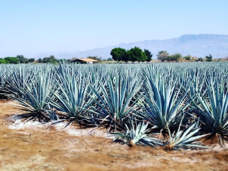
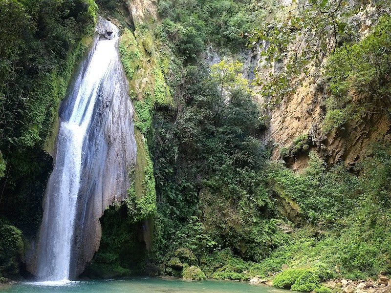
Von 2.500 Jahre alten zapotekischen Tempeln auf von Wolken umhüllten Gipfeln über Mezcal-Dörfer in hochgelegenen Pinientälern bis hin zu erstklassigen Surfspots ist die Straße von Oaxaca vom Gebirge zur Küste Mexikos kulinarisch und kulturell intensivste Fahrt.
Machen Sie diese Route zu Ihrer
Wählen Sie Termine, Tempo und Vorlieben, und die RoadAtlas-KI baut diese Reise Tag für Tag mit echten, geprüften Orten neu auf.
Enthalten in den Traveler- und Explorer-Tarifen.
Diese Reise planen
Planungslinks von Drittanbietern können Affiliate-Links sein. RoadAtlas bleibt unabhängig; überprüfe die Details beim Anbieter.
Reiseplan nach Tagen
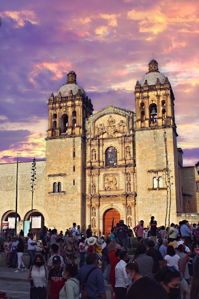
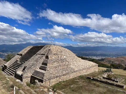
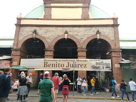
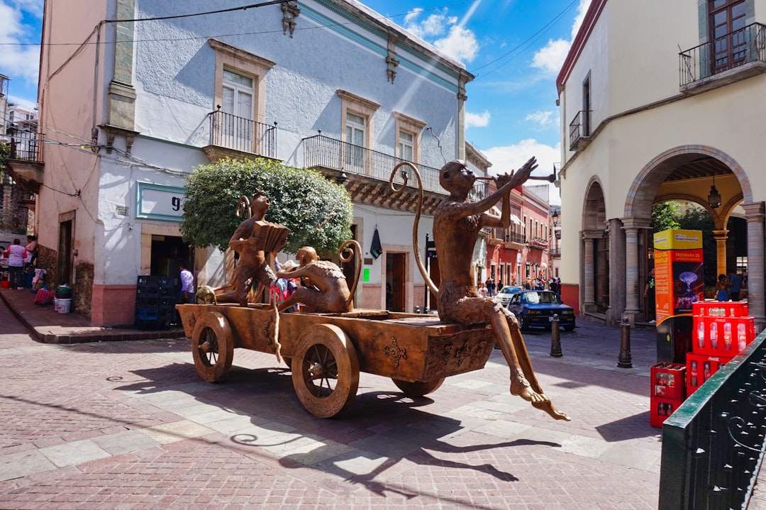
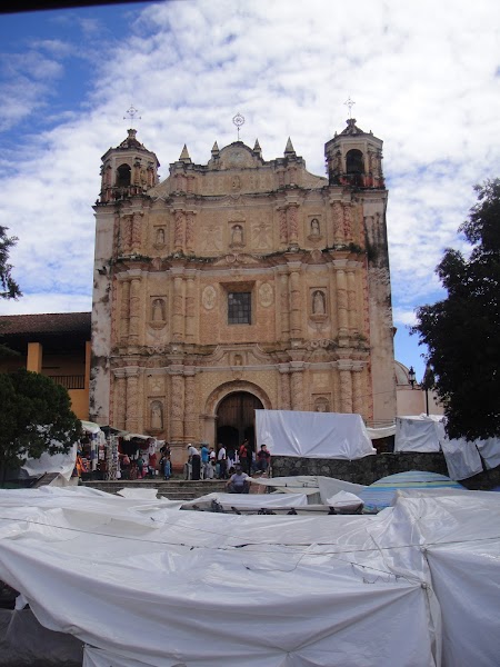
Tag 1Oaxaca-Stadt und Monte Albán
Monte Albán · Schwarzkeramik-Workshops in San Bartolo Coyotepec · Casa Taviche
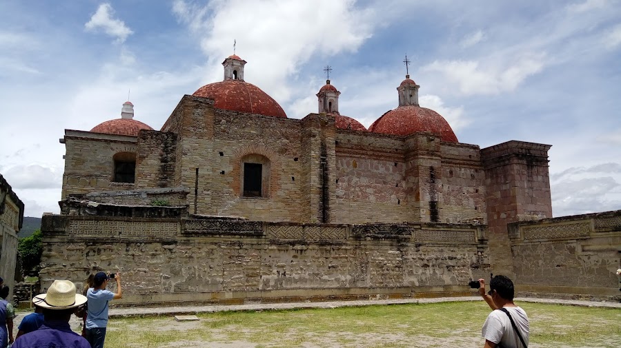
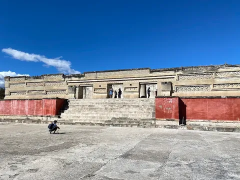
Tag 2Mitla, die östlichen Täler und Rückfahrt nach Oaxaca-Stadt
Mitla Archäologische Zone · Webereibesuch in Teotitlán del Valle · Tlamanalli
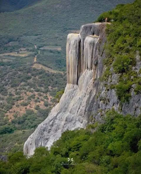
Tag 3Oaxaca-Stadt bis zur Küste über Highway 175 und San José del Pacífico
Marktstopp in Pochutla · Mirador de San José del Pacífico · La Montaña
Tag 4Mazunte und San Agustinillo
Centro Mexicano de la Tortuga · Punta Cometa · Alessandro Mazunte
Tag 5Puerto Escondido und nahegelegene Strände
Playa Carrizalillo · Strandpromenade Zicatela · El Cafecito
Tag 6Ganztägiger, geführter Ausflug zu den Lagunas de Chacahua
Gemeinschaftsgeführte Bootstour durch die Mangroven von Chacahua · Nationalpark Lagunas de Chacahua · Von einem Veranstalter organisierte Chacahua-Mahlzeit
Tag 7Puerto Escondido nach Oaxaca-Stadt über den aktuellen Mautstraßenkorridor
Mautstraßen-Transfer Barranca Larga–Ventanilla · Ankunftsabend in Oaxaca-Stadt · Frühstück im El Cafecito vor der Abfahrt
Stationen der Route
Sehenswürdigkeiten & Aktivitäten


Weitere 1 anzeigen

Wo man essen kann


Routen in der Nähe
Häufige Fragen
Wie lang ist die Von Oaxaca zum Pazifik?
Die Von Oaxaca zum Pazifik ist 650 km plus Küstenausflüge lang.
Wie lange dauert die Von Oaxaca zum Pazifik?
Die meisten Reisenden brauchen 7 Tage für die Von Oaxaca zum Pazifik, abhängig von Stopps und Tempo.
Wann ist die beste Zeit für die Von Oaxaca zum Pazifik?
Die empfohlene Reisezeit für die Von Oaxaca zum Pazifik ist November – Mai.
Wo beginnt und endet die Von Oaxaca zum Pazifik?
Die Von Oaxaca zum Pazifik führt von Oaxaca-Stadt nach Puerto Escondido.
Was sind die wichtigsten Stationen auf der Von Oaxaca zum Pazifik?
Die Von Oaxaca zum Pazifik führt durch Oaxaca-Stadt, Tlacolula, Mitla.
Wie schwierig ist die Von Oaxaca zum Pazifik zu fahren?
Die Von Oaxaca zum Pazifik gilt als mittel und wird am besten mit jedes fahrzeug befahren.
Kann man die Von Oaxaca zum Pazifik mit einem normalen Auto fahren?
Ja — die Von Oaxaca zum Pazifik ist durchgehend asphaltiert und ein normales Auto reicht bei normalen Bedingungen aus.
Wie viele Tankstopps sind auf der Von Oaxaca zum Pazifik nötig?
Plane etwa 1 Tankstopps (oder ca. 2 E-Ladevorgänge) entlang der Von Oaxaca zum Pazifik ein, bei 650 km plus Küstenausflüge Länge.
Ist die Von Oaxaca zum Pazifik sicher zu fahren?
Prüfen Sie vor der Abfahrt den aktuellen regionalen Hinweis für Oaxaca und eventuelle Straßensperren. Führen Sie die erforderlichen Einreise- und Fahrzeugdokumente sowie eine in Mexiko gültige Versicherung mit, fahren Sie nur bei Tag und vermeiden Sie improvisierte Umwege. Highway 175 ist die langsame, landschaftlich schöne Bergquerung; der neuere Mautstraßenkorridor ist die schnellere Alternative, wenn er offiziell geöffnet ist. Bestätigen Sie statt eines ungeplanten Lagunenbesuchs die Boots- und Betreiberzufahrt nach Chacahua sowie das Wetter.
Welche Panoramastufe hat die Von Oaxaca zum Pazifik?
Die Von Oaxaca zum Pazifik ist eine ikonisch-Route — Ikonische Roadtrips, die den Ruf einer Region prägen — Postkartenlandschaften, Vorzeigerouten und die Strecken, die fast jeder fahren möchte.