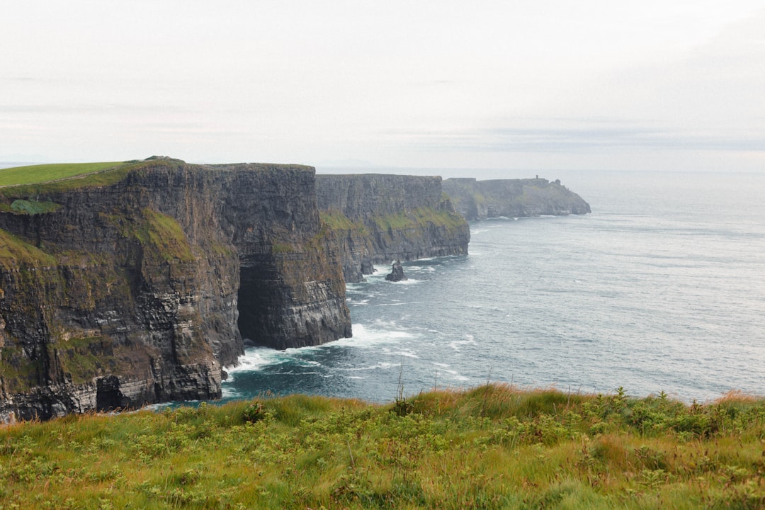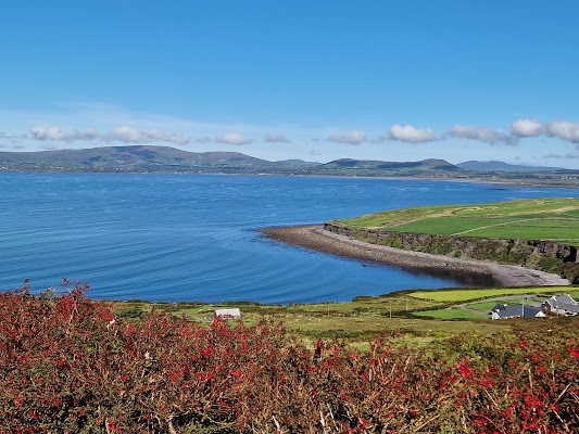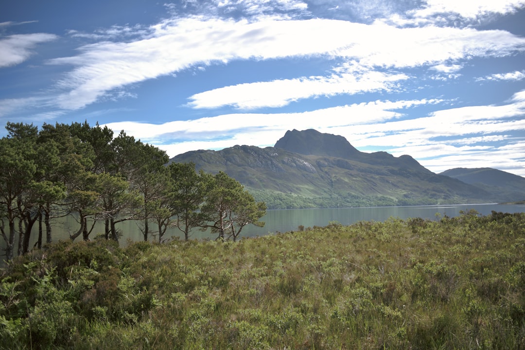
Five to seven days is the sweet spot for the North Coast 500. That gives you time to drive the full 830 km loop from Inverness around the top of Scotland, climb the Bealach na Ba, and still linger on white-sand beaches and at clifftop sea stacks instead of just ticking off miles. It can be rushed in three days, but a route this wild rewards the people who slow down.
This is a day-by-day plan built around the real towns and headlands of the North Coast 500, Scotland's answer to Route 66. It is a moderate drive on any vehicle, including EVs, but much of it runs on single-track roads with passing places, so the real skill is patience, not horsepower.
The North Coast 500 at a glance
The NC500 loops 500 miles out of Inverness and back, tracing the coastline of the far northern Highlands through some of the most spectacular and least-visited landscapes in Europe. Most people picture one hairpin pass, but the drive is really four coasts stitched together: the gentle castle-dotted east, the surf-battered north, the mountainous northwest, and the sea-loch country of Wester Ross on the way home.
- Distance: 830 km, a full loop from Inverness
- Time needed: 5 to 7 days (5 is the realistic minimum)
- Difficulty: moderate, single-track sections, any vehicle
- Best season: May to September
- EV-friendly: yes, with chargers in the main towns
A word of caution from the catalog advisory: fuel stations are scarce in the far northwest, so fill up in larger towns like Ullapool or Tongue. Snow and ice can close higher sections between November and March, and the single-track roads demand careful, courteous driving.
How many days do you need?
The honest answer depends on how often you stop, and on this route you will want to stop constantly. Here is what each length of trip realistically buys you.
| Trip length | What you fit | Best for |
|---|---|---|
| 3 days | The headline coast: Bealach na Ba, Durness, John o' Groats, a fast lap | Time-pressed drivers willing to rush |
| 5 days | The full loop at a steady pace, with beach stops and one or two short walks | First-timers who want the whole NC500 |
| 7 days | The same loop unhurried, side trips, distilleries, and long Highland evenings | Slow travel, photographers, and hikers |
The most common mistake is treating the NC500 as a three-day blast. The single-track roads in the northwest are slow by design, and the views around Torridon and Applecross reward people who arrive without a deadline.
Day 1: Inverness to Dornoch
Start in Inverness, the Highland capital on the Moray Firth and the start and finish of the loop. Culloden battlefield lies just east, and Loch Ness begins at the city's southern edge, so it is worth an early start before you head north up the gentler east coast.
Your first overnight is Dornoch, a town of fewer than 1,500 people with a 13th-century cathedral, the celebrated Royal Dornoch golf links, and a whisky distillery. It is a soft, civilised opening to a trip that gets wilder by the day.
Day 2: Dornoch to Thurso and the northeast tip
Carry on up the coast toward Caithness and the top-right corner of the mainland. The unmissable stop here is Duncansby Head, Scotland's true north-east tip and wilder than its famous neighbour John o' Groats. Sea stacks rise straight out of the Pentland Firth and puffins nest in the clifftop turf in early summer.
Push on to Thurso, Britain's most northerly mainland town and the gateway to the Orkney ferries. Thurso Bay hides one of Europe's premier big-wave surf breaks at Thurso East, so even on a grey day there is usually something to watch from the front.
Day 3: Thurso to Durness along the north coast
This is where the route turns properly remote. The north coast runs through the flow country's peatland wilderness, and fuel gets scarce, so top up in Tongue before you commit to the empty miles west.
End the day at Durness, a village clinging to the north-west corner above the shell-white sands of Balnakeil Beach. Smoo Cave cuts 60 m into the limestone right beside the road, and Cape Wrath, the most north-westerly point of mainland Britain, sits 11 km west across the firth, reachable only by a small ferry and minibus.
Day 4: Durness to Ullapool
Now the landscape switches to mountains and sea lochs. The drive south down the northwest is the slowest and most dramatic stretch of single-track on the whole loop, so do not over-plan the distance.
Aim for Ullapool, a whitewashed fishing port on Loch Broom and the ferry point for the Outer Hebrides. The Ceilidh Place packs a hotel, bookshop and live music into one building, and the town is the best place to refuel, resupply, and eat fresh seafood before the wildest driving day.
Day 5: Ullapool to Applecross over the Bealach na Ba
Save the headline drive for when you are rested. The Bealach na Ba is Britain's steepest road, climbing to 626 m in a series of tight hairpins before dropping to Applecross on the far side. The reward at the bottom is the Applecross Inn, serving fresh crab and langoustines with a direct view across to Skye's Cuillin ridge.
Nearby Torridon is the geological heart of the trip: Precambrian sandstone peaks rising from sea lochs, among the oldest rock on Earth at 750 million years. Beinn Eighe above the village was Britain's first national nature reserve.
Day 6: Torridon back to Inverness
The loop closes with a gentler run east through Wester Ross and back to the Moray Firth. Inverness's Victorian Market and the Ness Islands walk make a quiet landing after a week of single-track passes, and from here you can drive south into the Cairngorms or hand back the car.
When to drive the North Coast 500
The catalog season is May to September, when the higher sections are clear of snow, the days are long, and the single-track roads are at their most forgiving. Outside that window, expect winter closures and ice on the passes between November and March, and far shorter daylight to fit the miles.
Whenever you go, drive the single-track roads with patience. Use the passing places to let faster traffic by, never park in them, and reverse without drama when it is your turn. The NC500's reputation depends on visitors who treat these communities and their narrow roads with care.
Frequently asked questions
How many days do you need for the North Coast 500?
Five to seven days is ideal. Five lets you drive the full 830 km loop from Inverness at a steady pace with beach and clifftop stops, while seven adds side trips, distilleries, and unhurried Highland evenings. You can lap it in three, but the slow single-track roads in the northwest mean you would be rushing the best of it.
What is the best time of year to drive the NC500?
May to September. That is when the higher sections are reliably clear of snow, daylight is long, and conditions on the single-track roads are kindest. Between November and March, expect ice and possible closures on the higher stretches and much shorter days.
Is the North Coast 500 hard to drive?
It is rated moderate rather than difficult. Any vehicle, including EVs, can complete it, but large sections run on single-track roads with passing places that demand patience and courteous driving. The challenge is the road etiquette and the long gaps between services, not technical difficulty.
Where can you get fuel on the NC500?
Fill up in the larger towns, especially Ullapool and Tongue, before heading into the far northwest where fuel stations are scarce. The remote stretches between the north and west coasts are long and empty, so never let the tank run low.
Which way should you drive the loop?
Most people drive clockwise from Inverness, taking the gentle east coast first and saving the dramatic northwest and the Bealach na Ba for later in the trip. Either direction works, but clockwise builds the scenery from soft to spectacular.
Plan your drive
Ready to map it out? See the full North Coast 500 route guide for every stop in order, compare it with Ireland's Wild Atlantic Way and Ring of Kerry or Wales's Snowdonia circuit, and build your own version on the interactive map.