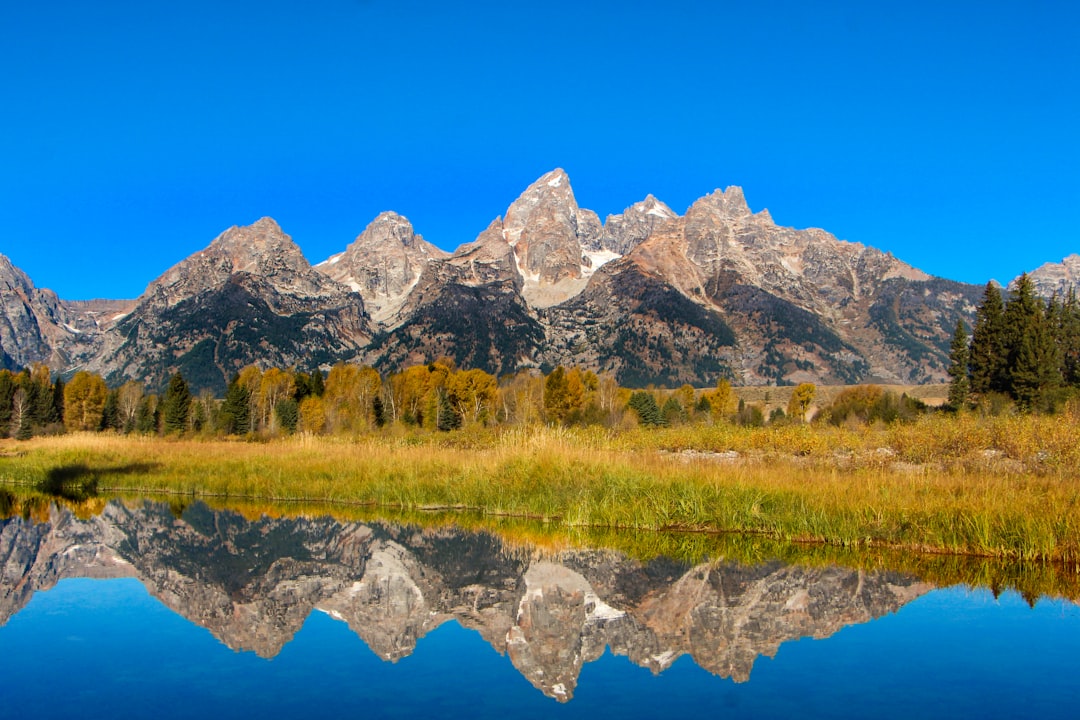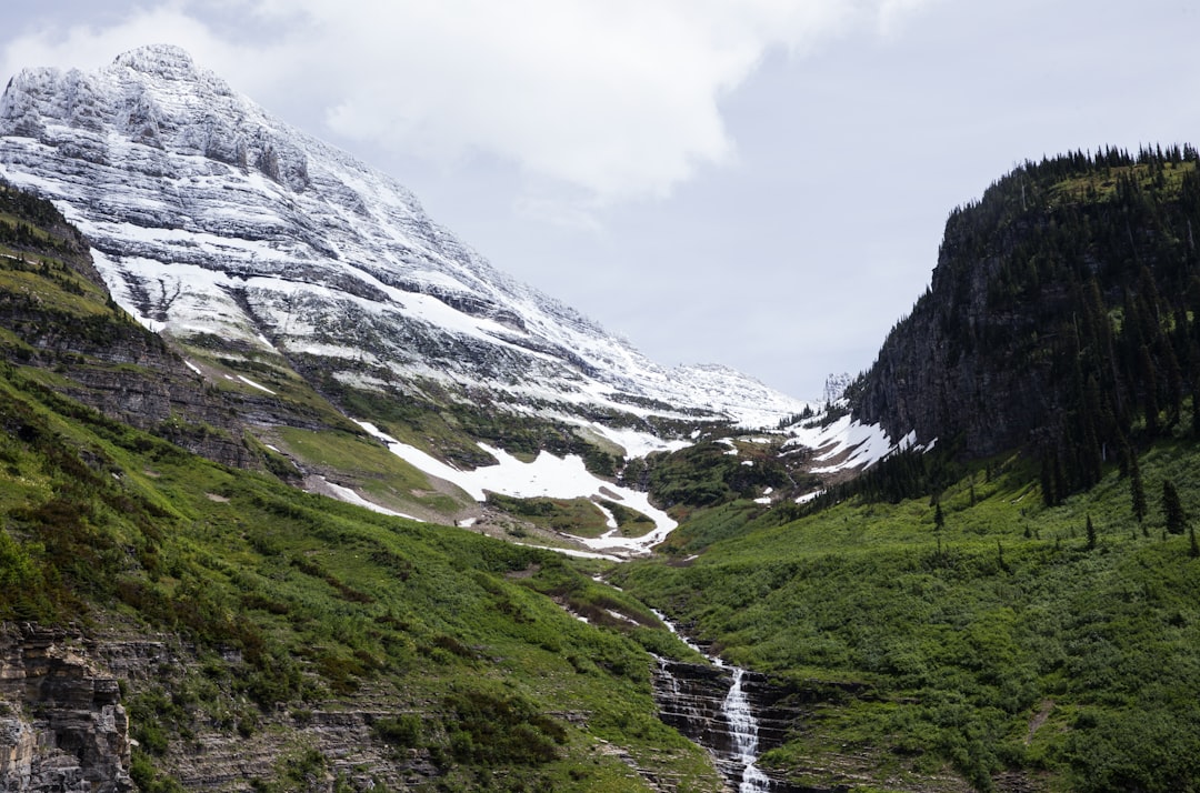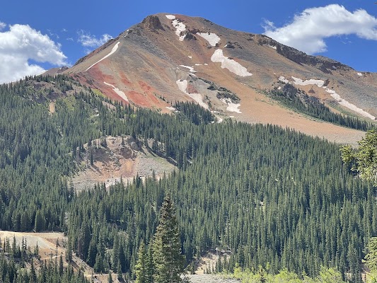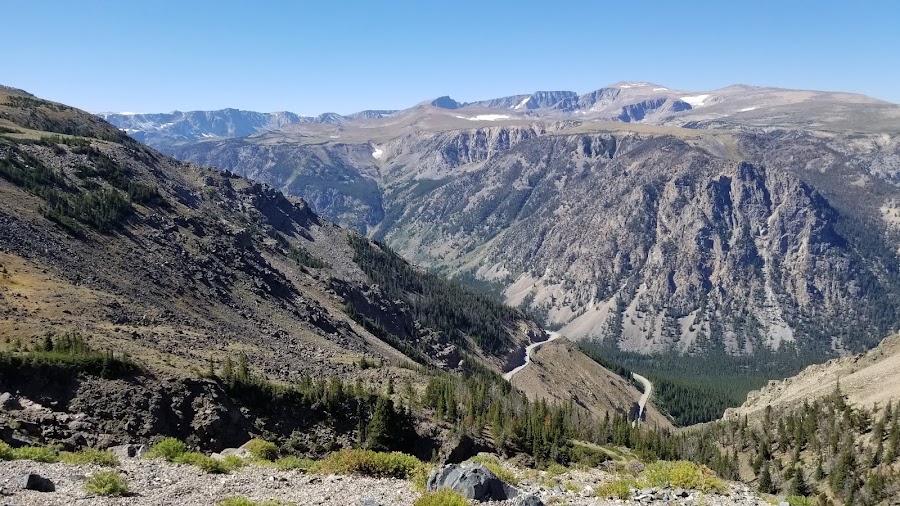
The Beartooth Highway is a 110 km alpine drive from Red Lodge, Montana over the Beartooth Plateau to Cooke City, and it rewards a slow 2 to 4 hours far more than a fast one. It is one of the highest paved roads in North America, open roughly late June to September, and the best of it lives at the pullouts, not behind the windshield. This is a stop by stop guide to where to pause on the byway, in the order you meet them.
Beartooth Highway at a glance
The Beartooth is short but high. It climbs from a historic mountain town to nearly 11,000 feet of tundra and glacial lakes, then drops toward the northeast corner of Yellowstone. The road is fully paved and any car can drive it, though the grade is moderate and the weather changes fast. Give yourself half a day even though the raw distance suggests less.
Here is how it compares with two other classic Rocky Mountain drives you might pair it with.
| Drive | Country | Distance | Duration | Best season |
|---|---|---|---|---|
| Beartooth Highway | United States | 110 km | 2 to 4 hours | Late June to September |
| Going-to-the-Sun Road | United States | 80 km | 2 days recommended | July to September |
| Grand Teton to Yellowstone | United States | 320 km | 4 to 5 days | May to October |
The Beartooth is the one you can do in a single unforgettable morning. The other two ask for real days. Many travelers drive the Beartooth as the scenic back door into Yellowstone, adding it to a longer Wyoming and Montana loop.
Which direction and how long?
The classic run goes west to east, from Red Lodge, Montana up to Beartooth Pass and down to Cooke City. Driving this way, the switchbacks reveal themselves as a climb and you finish near Yellowstone's quiet northeast entrance. Plan on 2 to 4 hours with stops. If you continue into Yellowstone, treat the Beartooth as the first half of a two day trip rather than a quick detour.
The best stops on the Beartooth Highway
Red Lodge
Start in Red Lodge, a historic mountain town and the classic launch point for the climb. Stock up on fuel, snacks, and warm layers here, because reliable services thin out fast once you leave. This is also your last easy chance for a full breakfast before the plateau.
Rock Creek Vista Point
A short way up, Rock Creek Vista Point is a sweeping overlook above the canyon and your first big reveal of the road. From the platform you can watch the switchbacks snake below and get a sense of how much climbing is still ahead. It is an easy, paved pullout, so almost everyone stops.
Beartooth Pass
Beartooth Pass is the high point of the drive and one of North America's highest paved passes. Expect open tundra, thin air, and weather that can turn from sun to snow in minutes even in July. Take it slow, layer up, and watch for signs of altitude if you have come from lower ground.
Top of the World Store
The Top of the World Store is a seasonal high country roadside stop with basic provisions. It is a fun place to pause, but it is not a destination restaurant, so carry backup food and water and verify it is open before you rely on it. Treat anything you find here as a bonus, not a plan.
Pilot and Index Peak Overlook
This dramatic pullout looks toward the jagged Pilot and Index peaks and their alpine basins. It is one of the best places on the whole route to stop for photos, especially in early or late light when the rock catches color. The view alone justifies the walk from the car.
Island Lake
Island Lake is a clear alpine lake ringed by rocky ridges and wide open sky. Short walks here feel peaceful and genuinely wild, and it is a lovely spot to slow down between the pass and the descent. If you only picnic once on the Beartooth, do it beside water like this.
Beartooth Lake Campground
A little farther on, Beartooth Lake Campground gives easy access to the lakeshore and mountain scenery, good for a picnic or a short leg stretch. Even if you are not camping, the wooded setting is a calm counterpoint to the exposed tundra above. It is also a useful landmark as you begin the drop toward Cooke City.
Cooke City
The drive ends in Cooke City, a tiny gateway town with a rugged frontier feel. It is a fitting finish after the long alpine descent and a natural base if you are continuing into Yellowstone through the northeast entrance. Grab a meal, refuel, and decide whether to turn back or push on into the park.
When to drive the Beartooth Highway
The Beartooth is a summer road. It is normally open only from late May to mid-October, and the reliable driving window is late June to September once the deep snow has cleared. Even in midsummer it can close without notice for weather, so this is a drive you plan around forecasts rather than fixed dates.
Before you go, check the Montana Department of Transportation and Yellowstone National Park road status the morning you leave. Keep a flexible lower elevation fallback in case the pass is shut, start with a full tank and provisions, carry warm layers, and use bear safe food storage since this is grizzly country.
Pair it with a bigger loop
Because the Beartooth is short, it shines as part of a larger trip. Drive it into Yellowstone's northeast entrance and continue onto the Grand Teton to Yellowstone wildlife corridor for geysers, bison, and the Teton skyline. Farther north, Montana's other showstopper is Glacier National Park's Going-to-the-Sun Road, an easy addition to the same regional loop. If you love high alpine passes, Colorado's Million Dollar Highway is a natural next chapter, and you can browse more of them on our mountain passes hub.
Frequently asked questions
How long does it take to drive the Beartooth Highway?
Plan on 2 to 4 hours to drive the full 110 km with stops, or a full two days if you extend through Yellowstone's northeast entrance. The distance is short, but the overlooks, lakes, and altitude reward an unhurried pace.
Is the Beartooth Highway hard to drive?
No. The road is fully paved and any car can handle it, though the grade is moderate with switchbacks, high altitude, and fast changing weather. Drive cautiously, watch for snow even in summer, and give yourself extra time.
When is the Beartooth Highway open?
It is normally open from late May to mid-October, with late June to September the most reliable window. The pass can close without notice for weather, so check Montana DOT and Yellowstone road status before you set out.
Which way should I drive the Beartooth Highway?
The classic direction is west to east, from Red Lodge, Montana to Cooke City, so the switchbacks build as a climb and you finish near Yellowstone. Either direction is scenic, but this way flows best if you are continuing into the park.
Can you drive the Beartooth Highway into Yellowstone?
Yes. Cooke City sits beside Yellowstone's quiet northeast entrance, so the Beartooth is a spectacular back door into the park. Many travelers link the two into a single two day trip.
Plan your Beartooth road trip
Ready to map it out? See the full Beartooth Highway route guide for every stop in order, compare it with the Grand Teton to Yellowstone corridor or Glacier's Going-to-the-Sun Road, and build your own version on the interactive map.