طريق المحيط الأطلسي البري
أيرلندا
باختصار: طريق المحيط الأطلسي البري رحلة مناظر طبيعية بطول 2,500 km في أيرلندا، تُقطع عادةً خلال 10–14 أيام وأفضل وقت لها مايو–سبتمبر. أبرز المحطات: Malin Head، Slieve League، Achill Island.
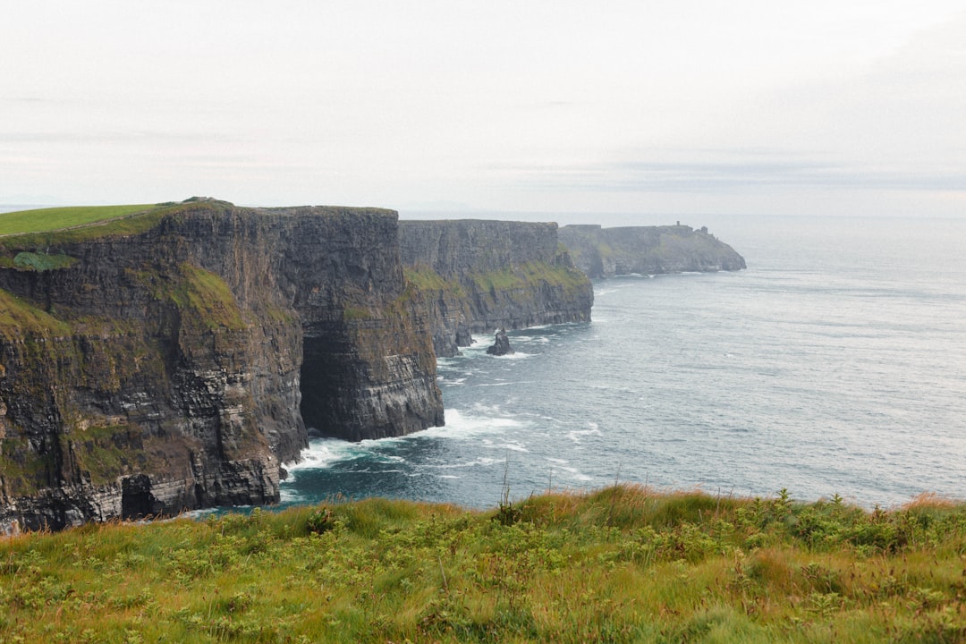
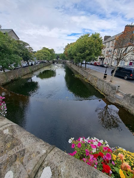
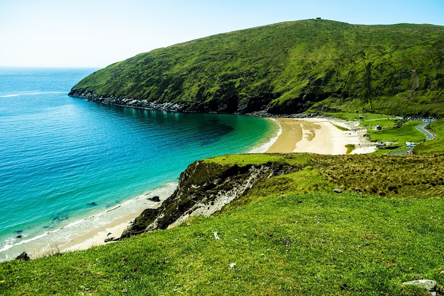
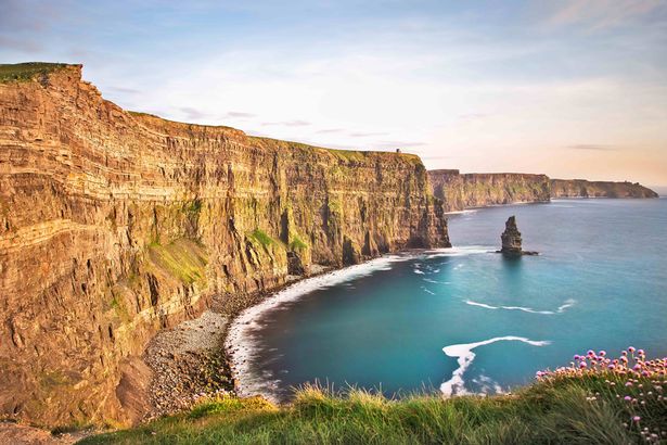
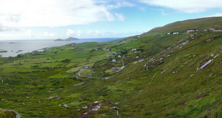
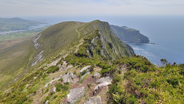
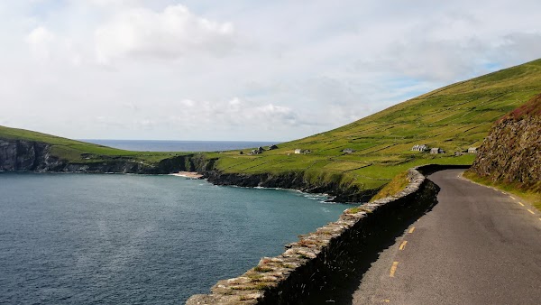
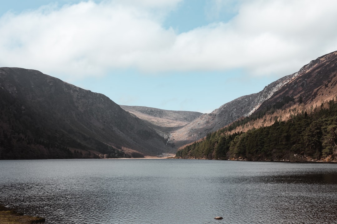
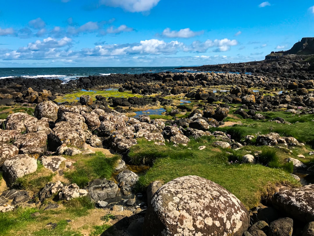
أطول طريق ساحلي محدد في العالم يلازم كامل الساحل الغربي لأيرلندا، بين نتوءات البحر والأديرة القائمة على حافة المنحدرات والطرق المحاطة بالجدران الحجرية وقرى الصيد الناطقة بالغايلية والحانات التي لا تنتهي فيها الجلسة أبدًا.
Plan this trip
Third-party planning links may be affiliate links. RoadAtlas stays independent, and you should verify details with the provider.
محطات على الطريق
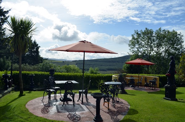
أشياء يمكن القيام بها


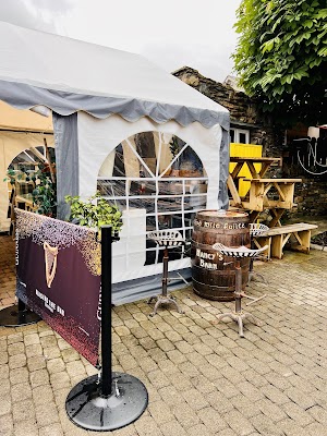
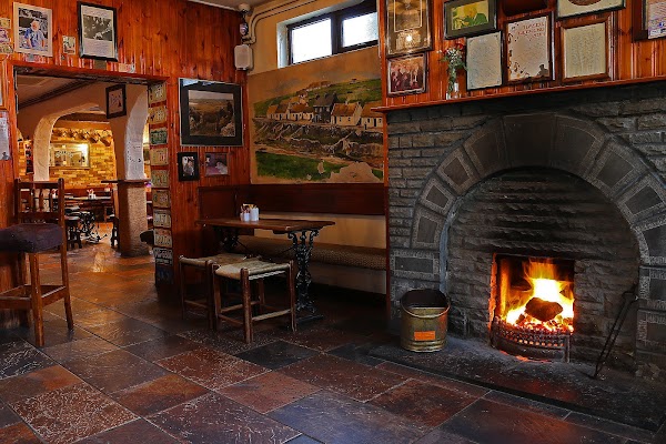
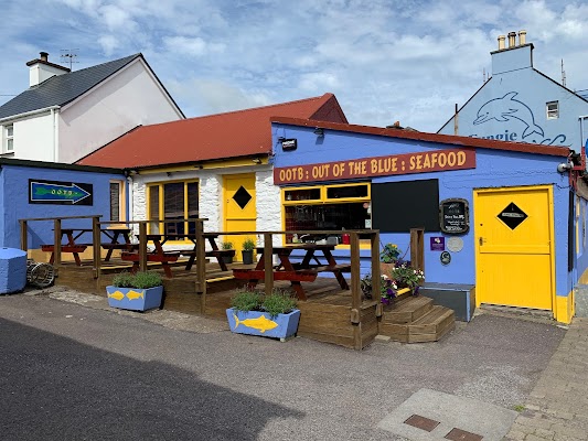
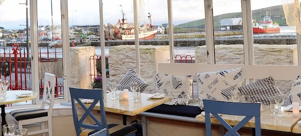
أماكن الأكل


طرق ذات صلة
طرق قريبة ومشابهة
الأسئلة الشائعة
كم يبلغ طول طريق طريق المحيط الأطلسي البري؟
يمتد طريق طريق المحيط الأطلسي البري لمسافة 2,500 km من البداية إلى النهاية.
كم تستغرق رحلة طريق المحيط الأطلسي البري؟
يقضي معظم المسافرين 10–14 أيام على طريق طريق المحيط الأطلسي البري، حسب التوقفات والإيقاع.
ما أفضل موسم لقيادة طريق المحيط الأطلسي البري؟
الموسم الموصى به لطريق طريق المحيط الأطلسي البري هو مايو–سبتمبر.
من أين يبدأ طريق المحيط الأطلسي البري وأين ينتهي؟
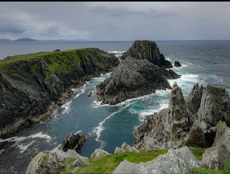
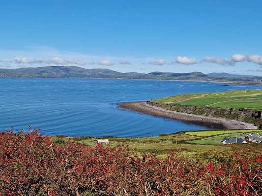
يمتد طريق طريق المحيط الأطلسي البري من Malin Head إلى Ring of Kerry.
ما أبرز محطات طريق طريق المحيط الأطلسي البري؟
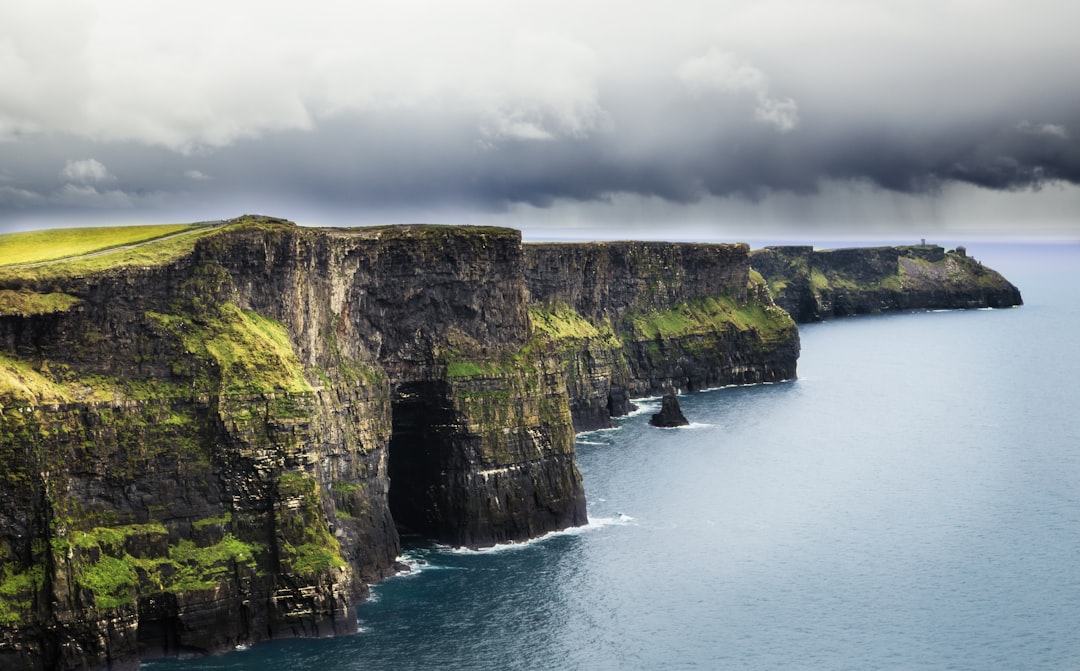
يمر طريق طريق المحيط الأطلسي البري عبر Malin Head، Slieve League، Achill Island.
هل يمكن قيادة طريق المحيط الأطلسي البري بسيارة عادية؟
نعم — طريق طريق المحيط الأطلسي البري مُعبَّد بالكامل، والسيارة العادية كافية في الظروف العادية.
كم محطة وقود يحتاجها طريق طريق المحيط الأطلسي البري؟
احسب نحو 4 محطة تعبئة (أو نحو 8 شحنة كهربائية) على طول طريق المحيط الأطلسي البري نظرًا لطوله البالغ 2,500 km.
هل طريق المحيط الأطلسي البري مناسب للسيارات الكهربائية؟
نعم — يتوفر على طريق المحيط الأطلسي البري تغطية بشواحن كهربائية على طول الطريق ويصلح لرحلة كهربائية.
هل قيادة طريق المحيط الأطلسي البري آمنة؟
يمر المسار في الغالب على طرق عامة، لكن طقس الأطلسي يتغير بسرعة وقد يجلب ضبابًا ورياحًا جانبية وأسـطحًا مبللة حتى في الصيف. قد تُغلق بعض مسارات المنحدرات والعبّارات والامتدادات الساحلية الثانوية بعد أمطار غزيرة أو رياح قوية، لذا تحقق من الظروف المحلية قبل أي التفافات. السيارة العادية مناسبة، لكن الممرات الضيقة ومناطق التجاوز تتطلب الحذر.
ما المستوى المنظري لطريق طريق المحيط الأطلسي البري؟
طريق المحيط الأطلسي البري طريق أسطورية — أكثر طرق القيادة استثنائية في العالم — رحلات العمر بمناظر سينمائية وطرق أسطورية وعمق ثقافي لا يضاهى.