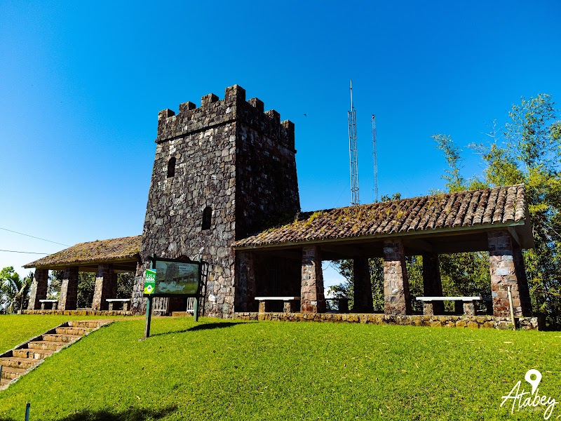
Ruta Panorámica Puerto Rico
Puerto Rico
In short: Ruta Panorámica Puerto Rico is a 115 km scenic road trip in Puerto Rico, typically driven over 1-2 days, best in December to April. Highlights: Mayagüez, Bosque Estatal de Guilarte, Cerro de Punta.
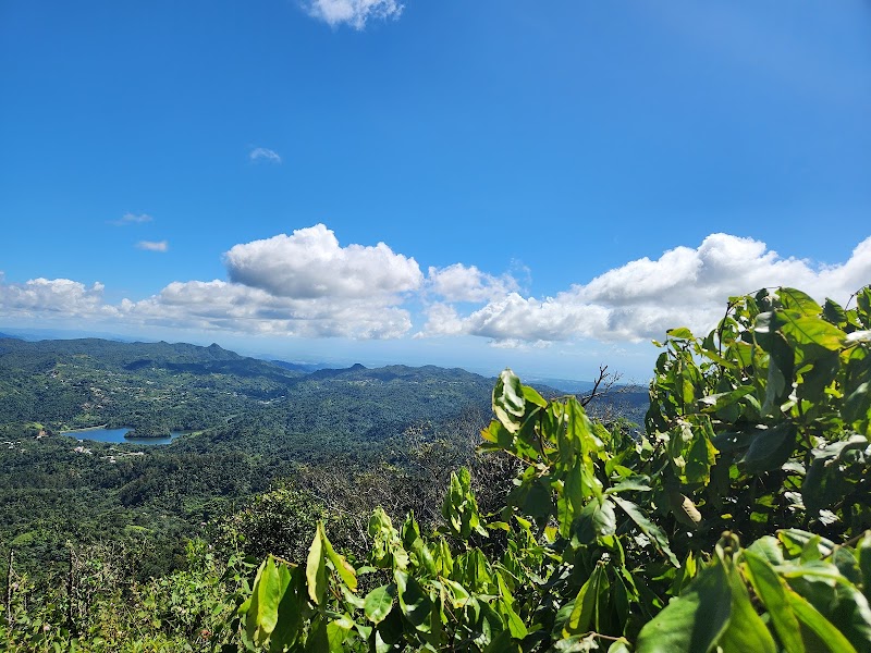
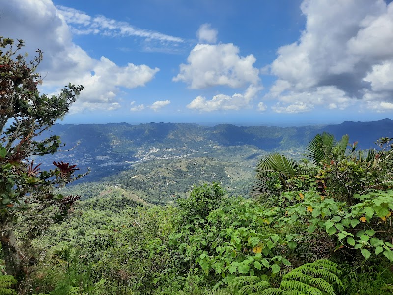
Puerto Rico’s Ruta Panorámica is a mountain-to-coast drive across the island’s interior, linking forested ridges, coffee towns, and panoramic overlooks. The classic road-trip stretch runs from the western highlands near Mayagüez to the eastern side around Maunabo, with switchbacks, cool cloud-forest air, and views that change with every climb.
Plan this trip
Third-party planning links may be affiliate links. RoadAtlas stays independent, and you should verify details with the provider.
Stops along the route
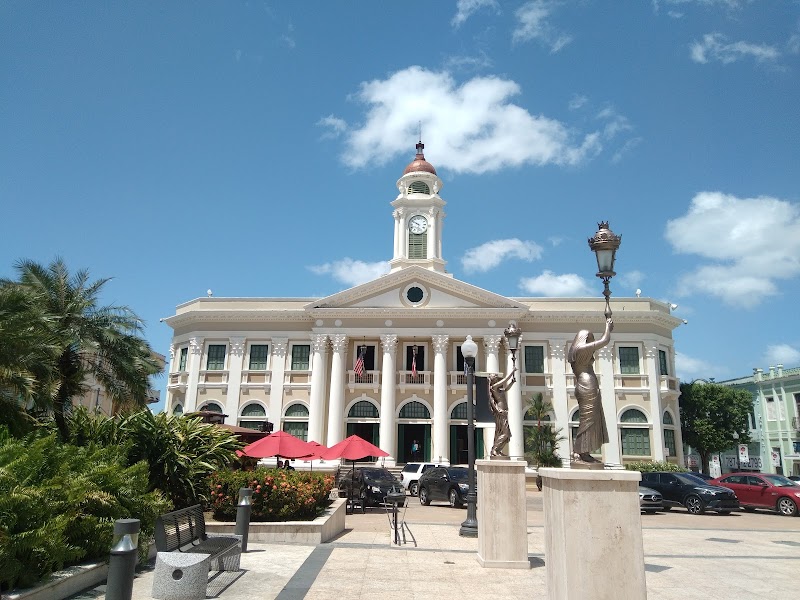
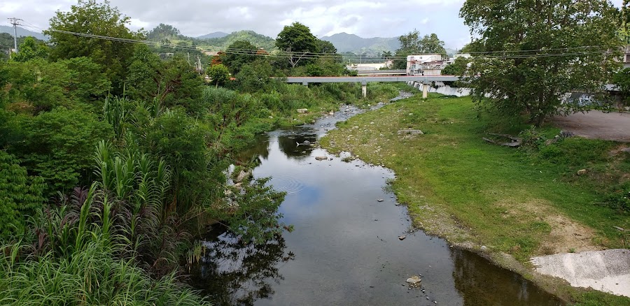
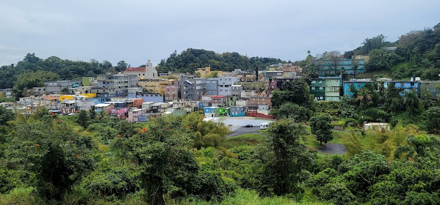
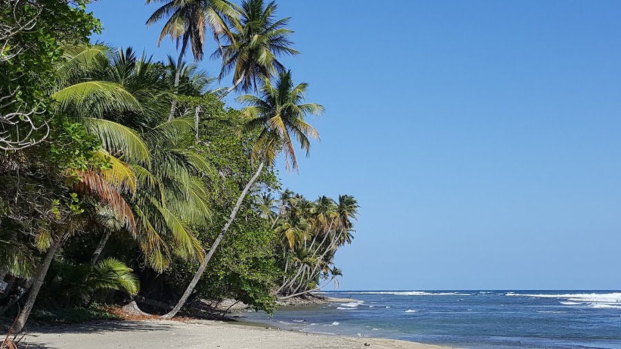
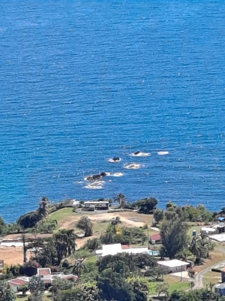
Things to Do
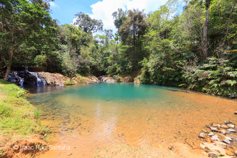
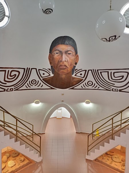

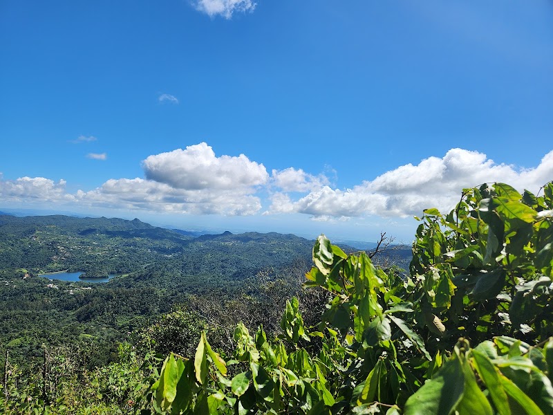
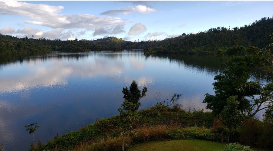
Where to Eat



Explore related routes
Nearby and similar drives
Frequently asked questions
How long is the Ruta Panorámica Puerto Rico drive?
The Ruta Panorámica Puerto Rico covers 115 km from start to finish.
How long does the Ruta Panorámica Puerto Rico take to drive?
Most travellers spend 1-2 days on the Ruta Panorámica Puerto Rico, depending on stops and pace.
When is the best time to drive the Ruta Panorámica Puerto Rico?
The recommended season for the Ruta Panorámica Puerto Rico is December to April.
Where does the Ruta Panorámica Puerto Rico start and end?
The Ruta Panorámica Puerto Rico runs from Mayagüez to Maunabo.
What are the main stops on the Ruta Panorámica Puerto Rico?
The Ruta Panorámica Puerto Rico passes through Mayagüez, Bosque Estatal de Guilarte, Cerro de Punta.
Can I drive the Ruta Panorámica Puerto Rico in a regular car?
Yes — the Ruta Panorámica Puerto Rico is paved end-to-end and a regular car is fine in normal conditions.
What scenic tier is the Ruta Panorámica Puerto Rico?
The Ruta Panorámica Puerto Rico is a iconic drive — Iconic road trips that anchor a region's reputation — postcard scenery, headline highways, and the routes most travellers want to drive.