
Route des Grandes Alpes
France
In short: Route des Grandes Alpes is a About 720 km mountain road trip in France, typically driven over 7 days, best in June – October. Highlights: Thonon-les-Bains, Cormet de Roselend, Col de l'Iseran.
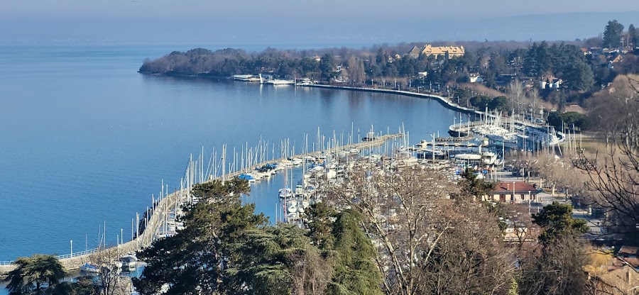
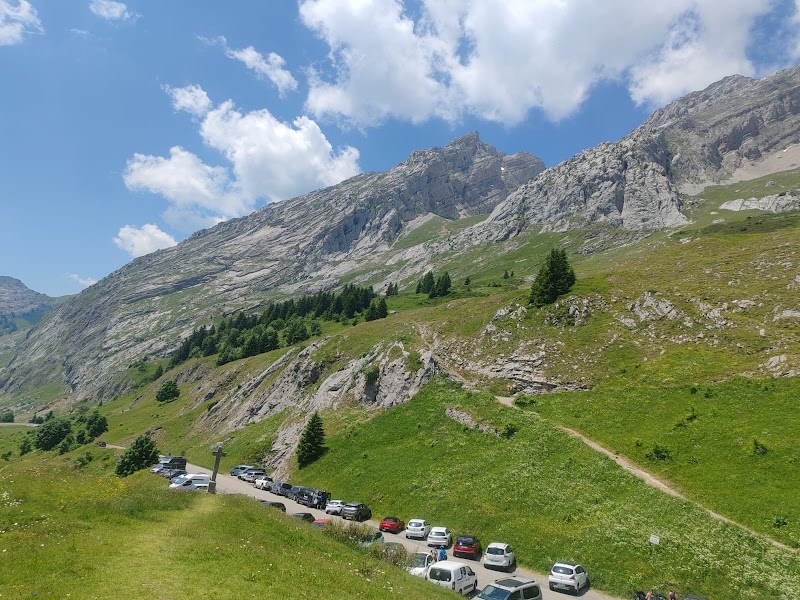
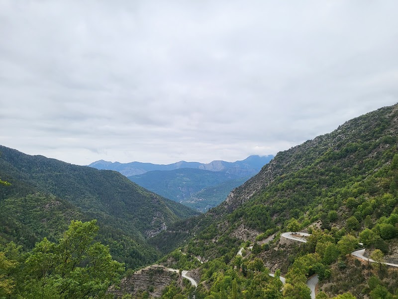
A true Alpine spectacular, La Route des Grandes Alpes traverses the French Alps from the shores of Lake Geneva to the French Riviera, ascending and descending 16 mountain passes including some of the highest sealed roads in Europe. The route took almost 30 years to construct and passes through three national parks, Vanoise, Queyras, and Mercantour, with views of Mont Blanc from the opening passes.
Make this route yours
Set your dates, pace, and taste, and RoadAtlas AI rebuilds this trip day by day with real, verified places.
Included with Traveler and Explorer plans.
Plan this trip
Third-party planning links may be affiliate links. RoadAtlas stays independent, and you should verify details with the provider.
Day-by-day itinerary
Day 1Thonon-les-Bains via Morzine to La Clusaz
Thonon route start and Col de la Colombière · La Chamade
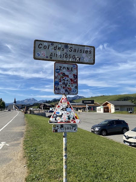
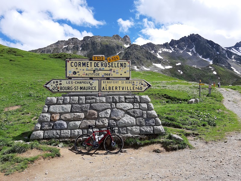
Day 2La Clusaz over Aravis, Saisies and Roselend to Bourg-Saint-Maurice
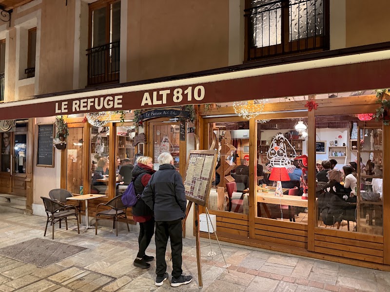
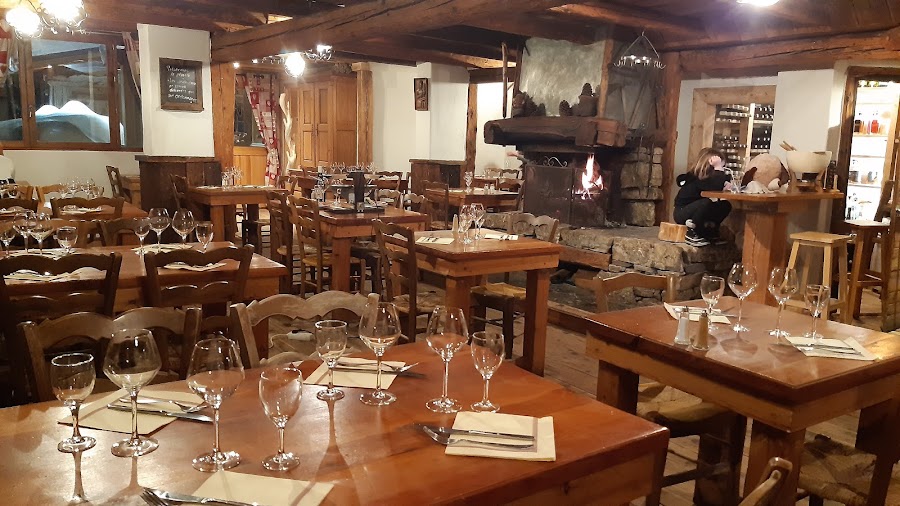
Cols des Aravis and des Saisies · Cormet de Roselend · Le Refuge Altitude 810
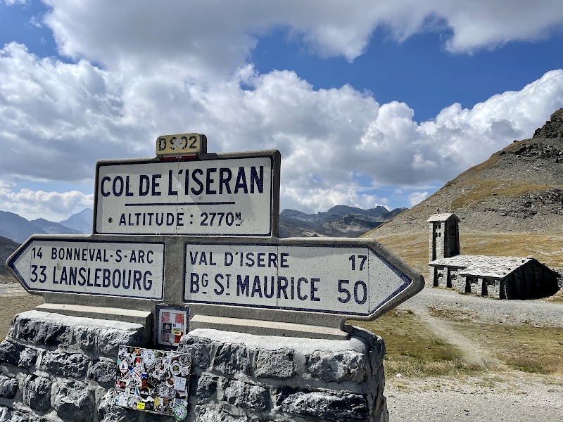
Day 3Bourg-Saint-Maurice over Col de l'Iseran to Valloire
Col de l'Iseran · Le Plancher des Vaches
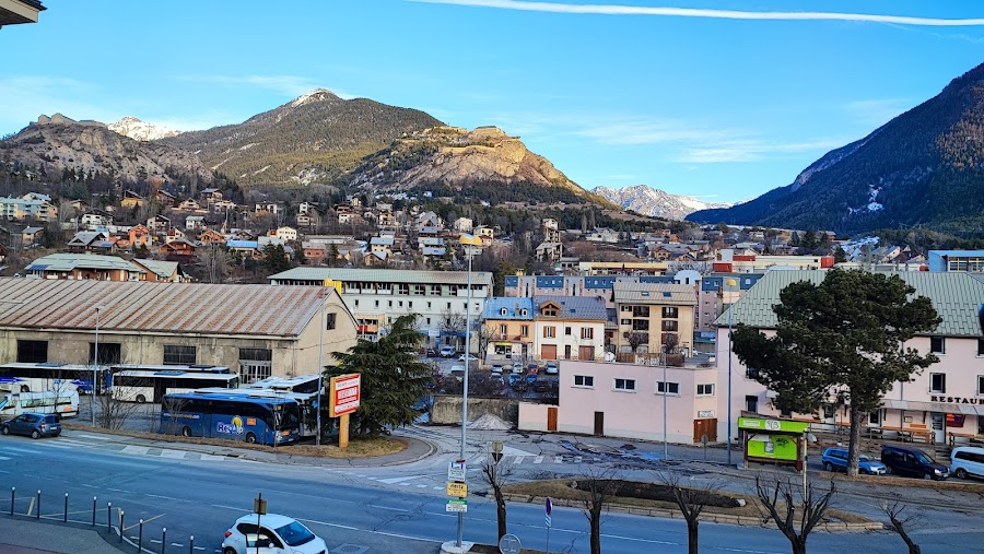
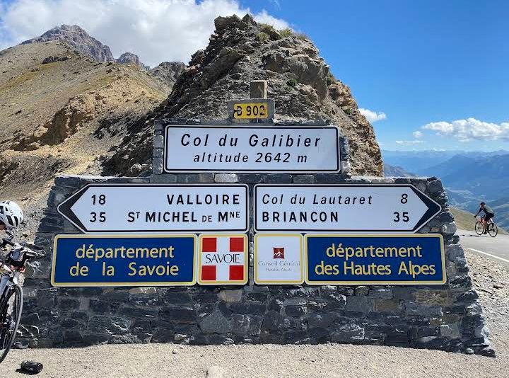
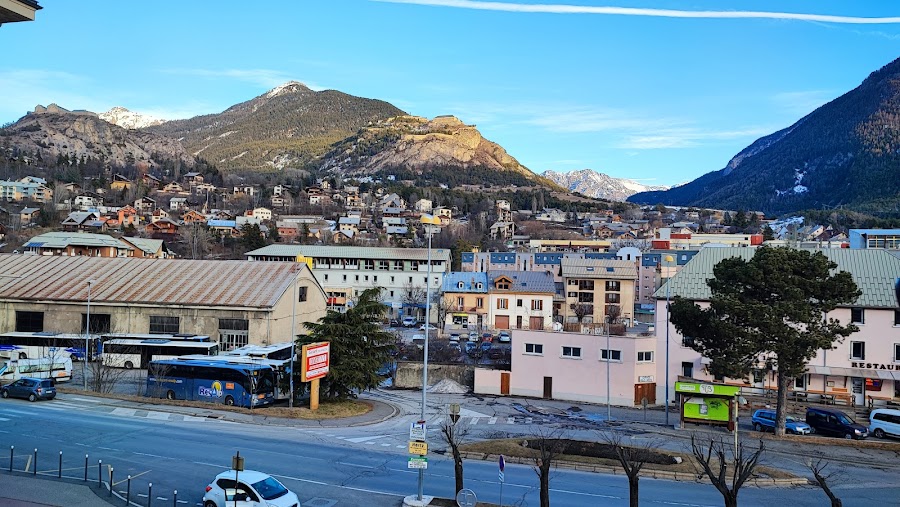
Day 4Valloire over Télégraphe and Galibier to Briançon
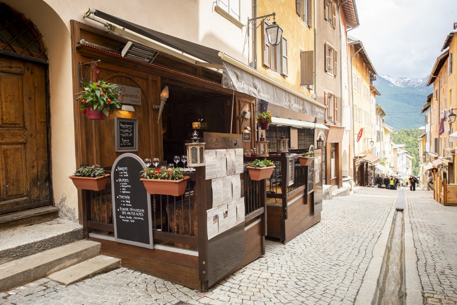
Cols du Télégraphe and du Galibier · Briançon old town · Le Gavroche
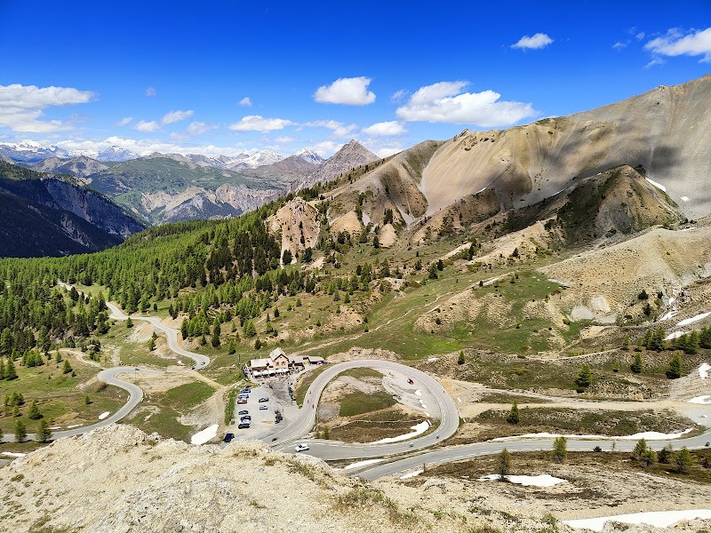
Day 5Briançon over Izoard and Vars to Barcelonnette
Col d'Izoard · Col de Vars · Le Gaudissart
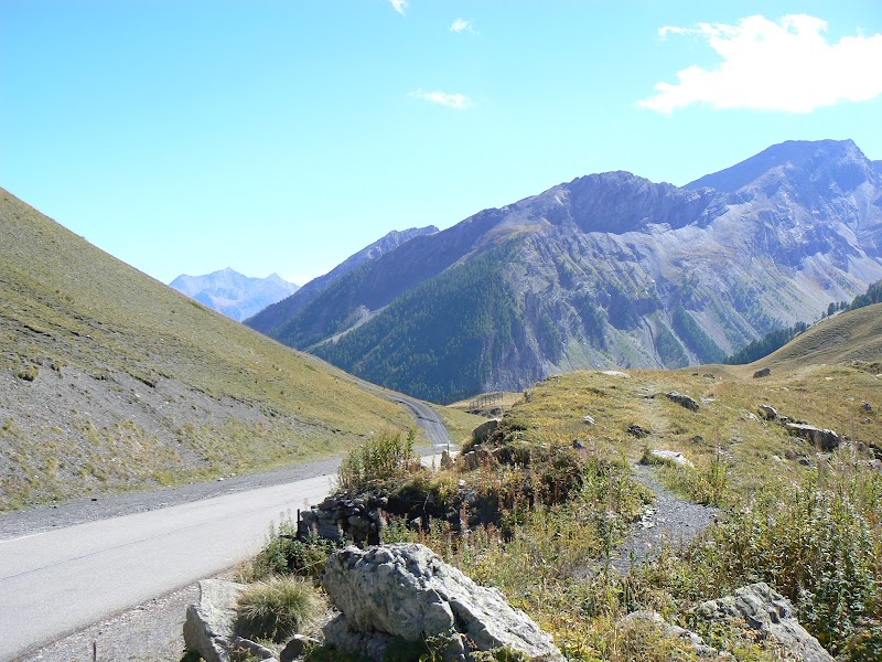
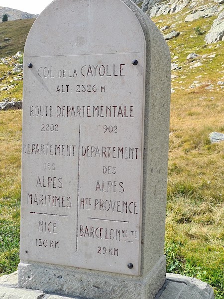
Day 6Barcelonnette over Cayolle to Valberg / Saint-Martin-Vésubie
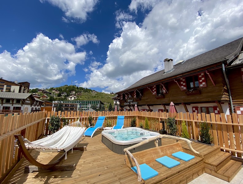
Col de la Cayolle and Valberg variant · Le Chalet Suisse
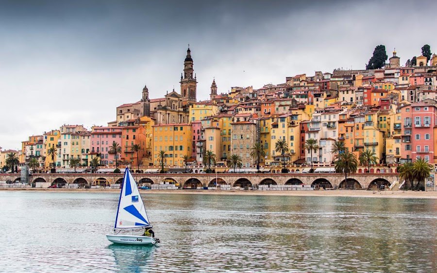
Day 7Saint-Martin-Vésubie over Col de Turini to Menton
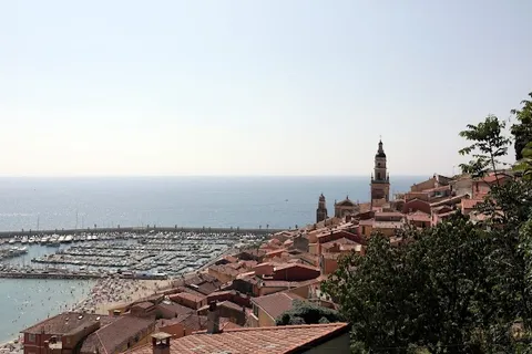
Col de Turini · Menton old town · Le Petit Port
Stops along the route
Things to Do
Show 5 more
Where to Eat

Show 1 more

Nearby and similar drives
Frequently asked questions
How long is the Route des Grandes Alpes drive?
The Route des Grandes Alpes covers About 720 km from start to finish.
How long does the Route des Grandes Alpes take to drive?
Most travellers spend 7 days on the Route des Grandes Alpes, depending on stops and pace.
When is the best time to drive the Route des Grandes Alpes?
The recommended season for the Route des Grandes Alpes is June – October.
Where does the Route des Grandes Alpes start and end?
The Route des Grandes Alpes runs from Thonon-les-Bains to Menton.
What are the main stops on the Route des Grandes Alpes?
The Route des Grandes Alpes passes through Thonon-les-Bains, Cormet de Roselend, Col de l'Iseran.
How difficult is the Route des Grandes Alpes to drive?
The Route des Grandes Alpes is rated moderate and is best handled with any vehicle.
Can I drive the Route des Grandes Alpes in a regular car?
Yes — the Route des Grandes Alpes is paved end-to-end and a regular car is fine in normal conditions.
How many fuel stops are needed on the Route des Grandes Alpes?
Plan around 1 refuels (or about 2 EV charges) along the Route des Grandes Alpes, based on its About 720 km length.
Is the Route des Grandes Alpes EV friendly?
Yes — the Route des Grandes Alpes has charger coverage along the route and works as an EV road trip.
Is the Route des Grandes Alpes safe to drive?
This seven-day plan follows the mapped Thonon-to-Menton Route des Grandes Alpes pass sequence; it omits Mont Cenis, Chamonix and Aiguille du Midi rather than disguising them as core stops. Every pass opens on its own weather-dependent schedule and can close again: check the official route plus each departmental live pass status on the same morning. Do not rely on a fixed pass count, reserve seasonal meals/overnights, carry warm layers and preserve daylight and fuel margin.
What scenic tier is the Route des Grandes Alpes?
The Route des Grandes Alpes is a legendary drive — The world's most extraordinary drives — once-in-a-lifetime road trips with cinematic scenery, legendary roads, and unmatched cultural depth.