
Normandy & Brittany
France
In short: Normandy & Brittany is a About 330 km historical road trip in France, typically driven over 4 days, best in May – September. Highlights: Caen, Bayeux, Omaha Beach.
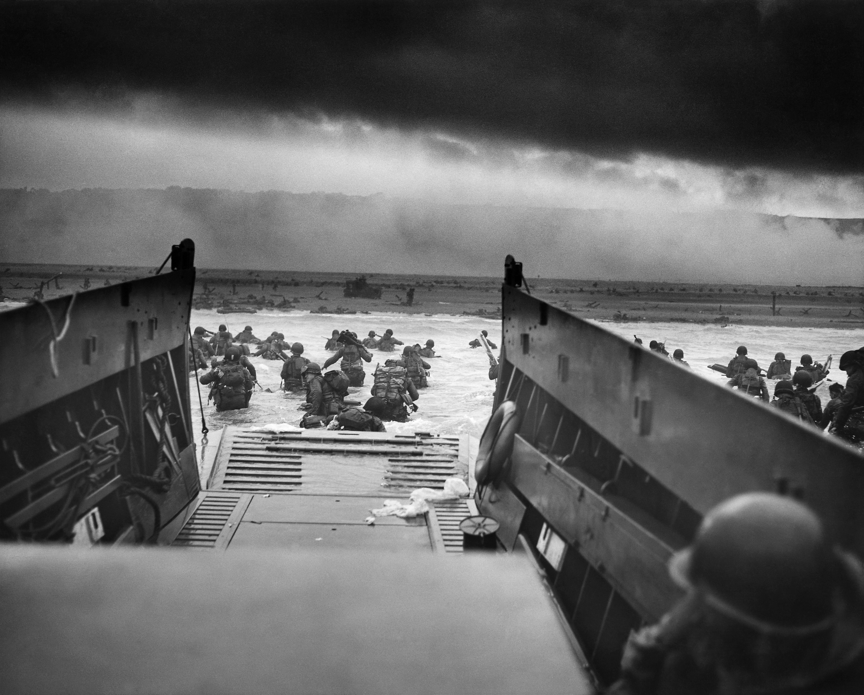
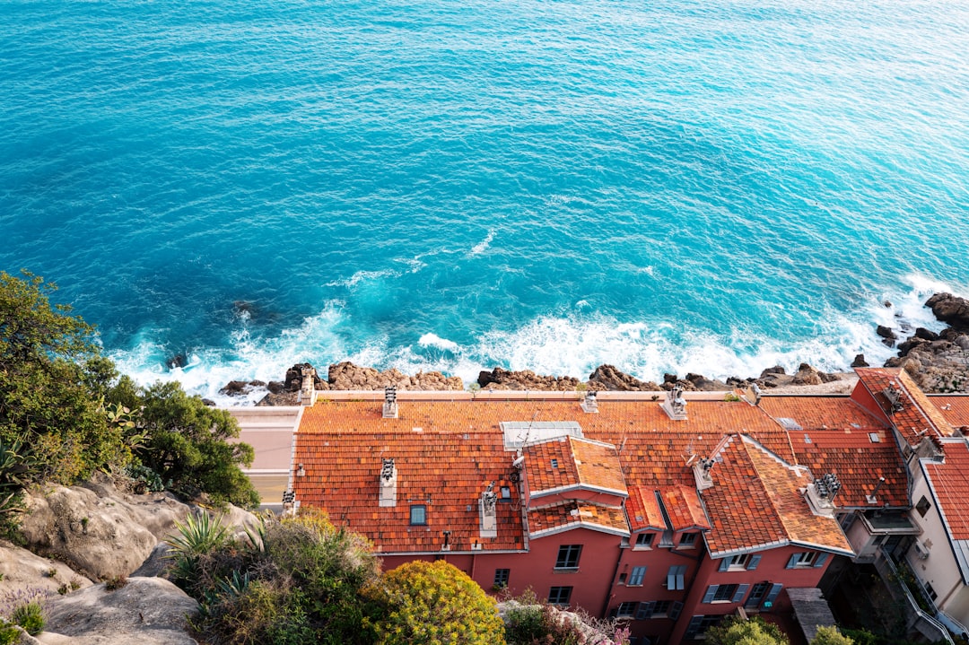
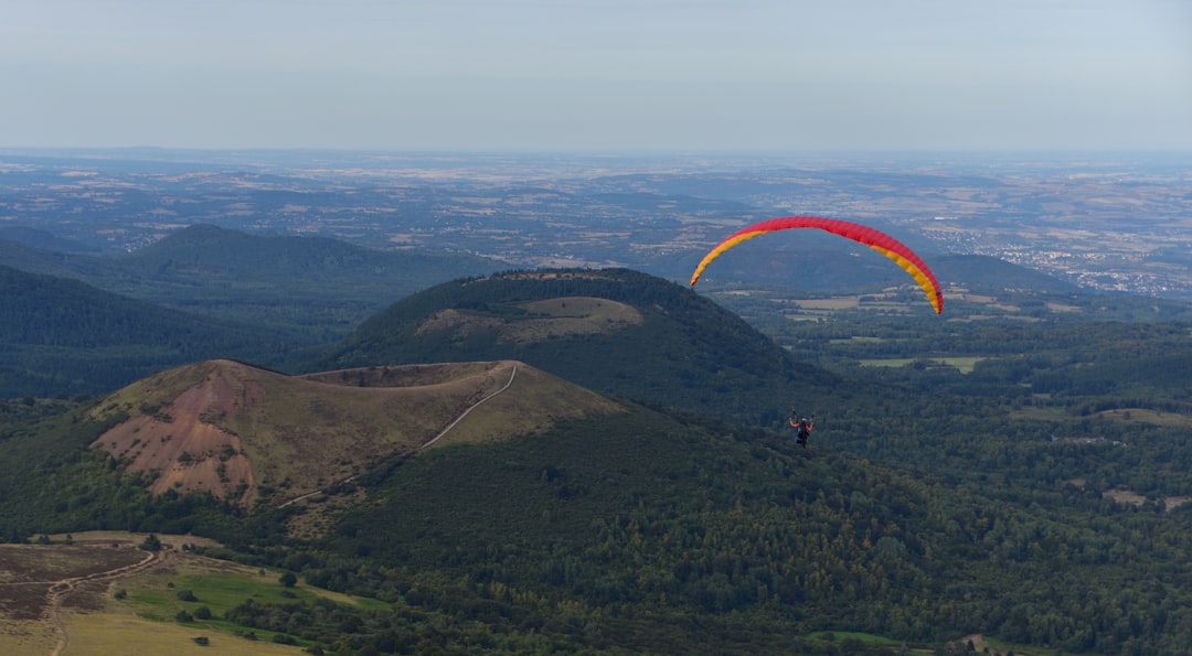
France's northwest corner carries the biggest scars of WWII alongside the most intact medieval coastline in the country, spartan watchtowers and solemn cemeteries haunt the idyllic pine-backed shores of Normandy, while Brittany's rocky coastline of dramatic tides and purple-pink twilight feels like it predates the nation's union. Mont St-Michel rises from the bay at the hinge between the two.
Make this route yours
Set your dates, pace, and taste, and RoadAtlas AI rebuilds this trip day by day with real, verified places.
Included with Traveler and Explorer plans.
Plan this trip
Third-party planning links may be affiliate links. RoadAtlas stays independent, and you should verify details with the provider.
Day-by-day itinerary
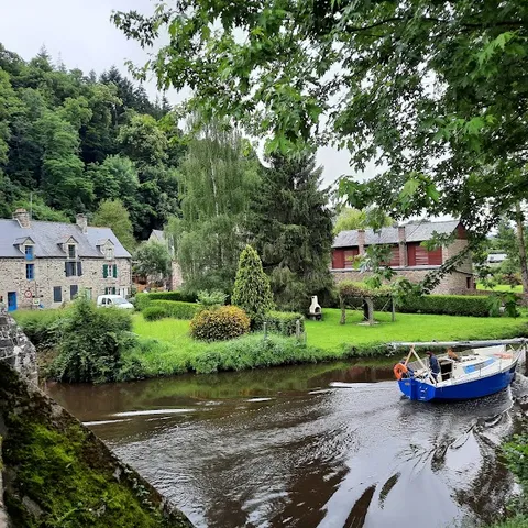
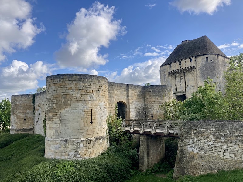
Day 1Caen and Bayeux
Caen Castle · Bayeux Cathedral and Battle of Normandy Museum · La Rapière
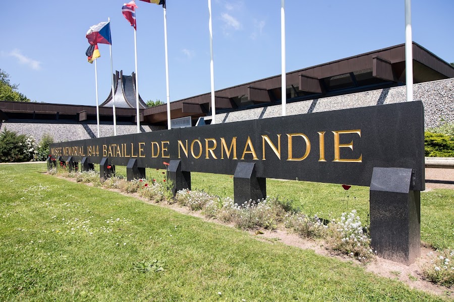
Day 2Omaha Beach and American Cemetery to Mont-Saint-Michel area
Omaha Beach and Normandy American Cemetery · La Ferme Saint-Michel
Day 3Mont-Saint-Michel Abbey and Dinan
Prebooked Mont-Saint-Michel Abbey · Dinan old town and Jerzual · Crêperie du Jerzual
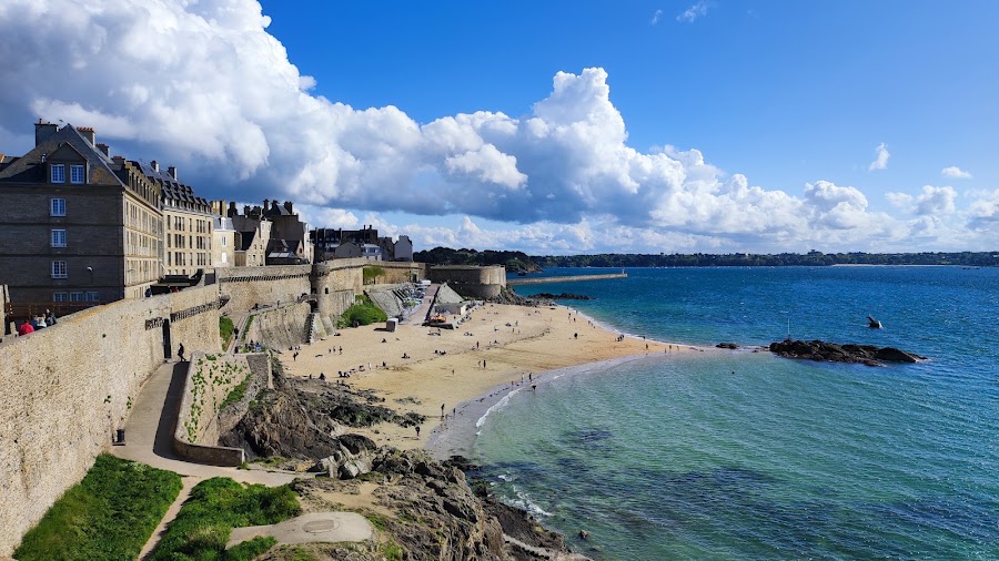
Day 4Dinan to Saint-Malo
Saint-Malo ramparts · Le Chalut
Stops along the route


Things to Do


Show 1 more
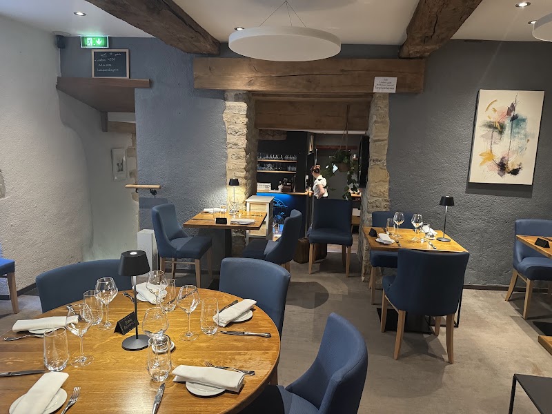
Where to Eat


Nearby and similar drives


Frequently asked questions
How long is the Normandy & Brittany drive?
The Normandy & Brittany covers About 330 km from start to finish.
How long does the Normandy & Brittany take to drive?
Most travellers spend 4 days on the Normandy & Brittany, depending on stops and pace.
When is the best time to drive the Normandy & Brittany?
The recommended season for the Normandy & Brittany is May – September.
Where does the Normandy & Brittany start and end?
The Normandy & Brittany runs from Caen to Saint-Malo.
What are the main stops on the Normandy & Brittany?
The Normandy & Brittany passes through Caen, Bayeux, Omaha Beach.
How difficult is the Normandy & Brittany to drive?
The Normandy & Brittany is rated easy and is best handled with any vehicle.
Can I drive the Normandy & Brittany in a regular car?
Yes — the Normandy & Brittany is paved end-to-end and a regular car is fine in normal conditions.
How many fuel stops are needed on the Normandy & Brittany?
Plan around 0 refuels (or about 1 EV charges) along the Normandy & Brittany, based on its About 330 km length.
Is the Normandy & Brittany EV friendly?
Yes — the Normandy & Brittany has charger coverage along the route and works as an EV road trip.
Is the Normandy & Brittany safe to drive?
The Bayeux Tapestry Museum is closed through October 2027; use the Battle of Normandy Memorial Museum or more Caen/Bayeux heritage until reopening is confirmed. Prebook Mont-Saint-Michel Abbey, allow remote parking and shuttle/walk time, and check tide/current closure information. Day 2 prioritizes Omaha and the American Cemetery before transferring to a Mont-area overnight; the abbey receives its own early half-day on day 3.
What scenic tier is the Normandy & Brittany?
The Normandy & Brittany is a notable drive — Notable scenic drives — strong character routes that locals know well and that reward travellers willing to step beyond the most-photographed roads.