RoadAtlas Hidden Highway: Shropshire to Llangollen
England
In short: RoadAtlas Hidden Highway: Shropshire to Llangollen is a 210 km scenic road trip in England, typically driven over 2 days, best in Apr–Oct. Highlights: Ludlow, Stokesay and Long Mynd, Powis, Pontcysyllte and Llangollen.
An original RoadAtlas two-day route linking Ludlow, Stokesay, the Long Mynd, Powis Castle, Pontcysyllte and Llangollen; it is not claimed as a historic named highway.
Make this route yours
Set your dates, pace, and taste, and RoadAtlas AI rebuilds this trip day by day with real, verified places.
Included with Traveler and Explorer plans.
Plan this trip
Third-party planning links may be affiliate links. RoadAtlas stays independent, and you should verify details with the provider.
Day-by-day itinerary
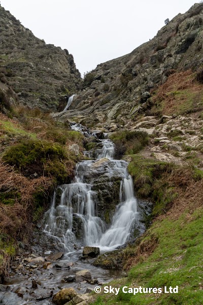
Day 1Ludlow, Stokesay Castle and Long Mynd
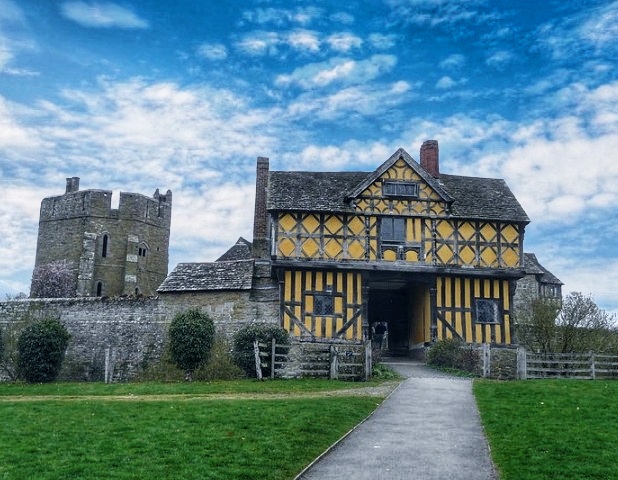
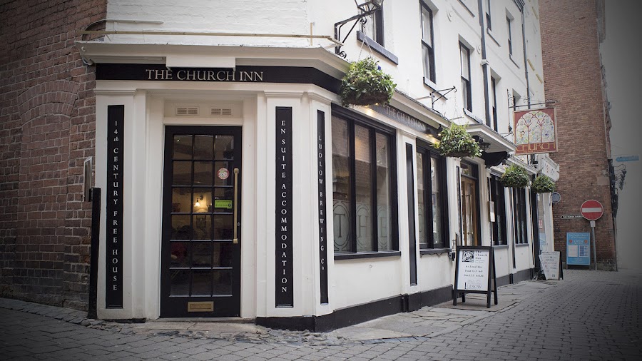
Ludlow old town · Stokesay Castle · The Church Inn
Day 2Powis Castle, Pontcysyllte and Llangollen
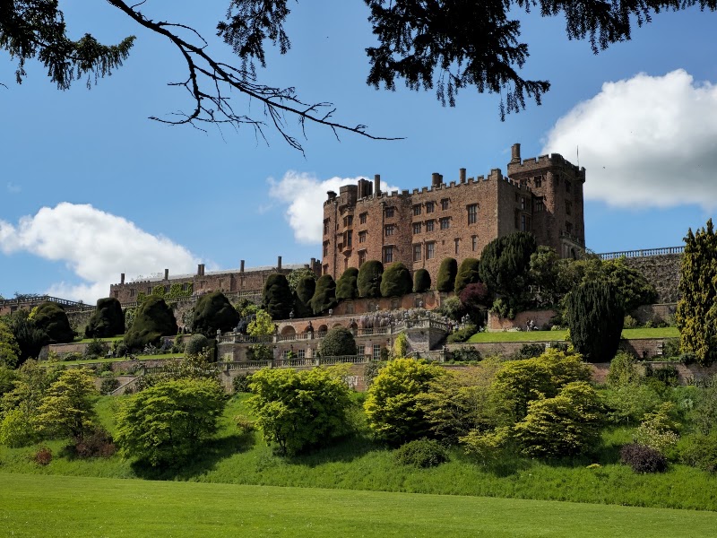
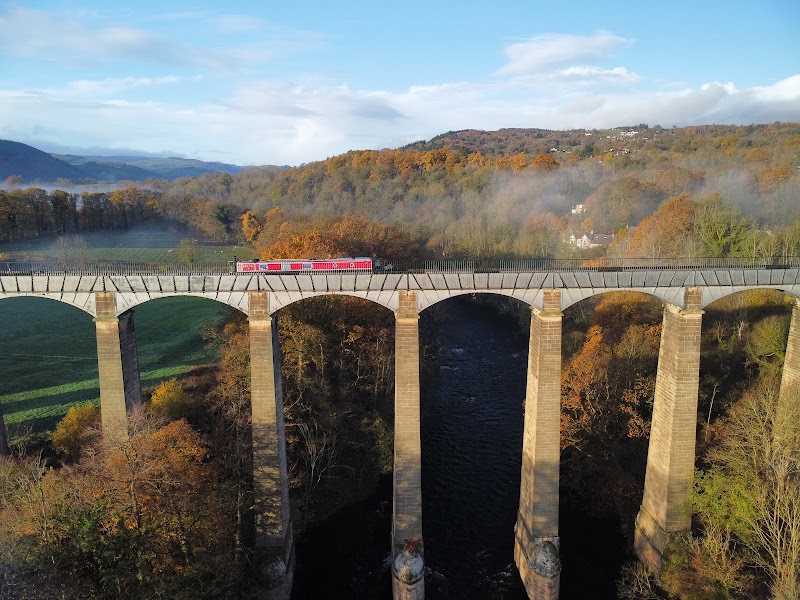
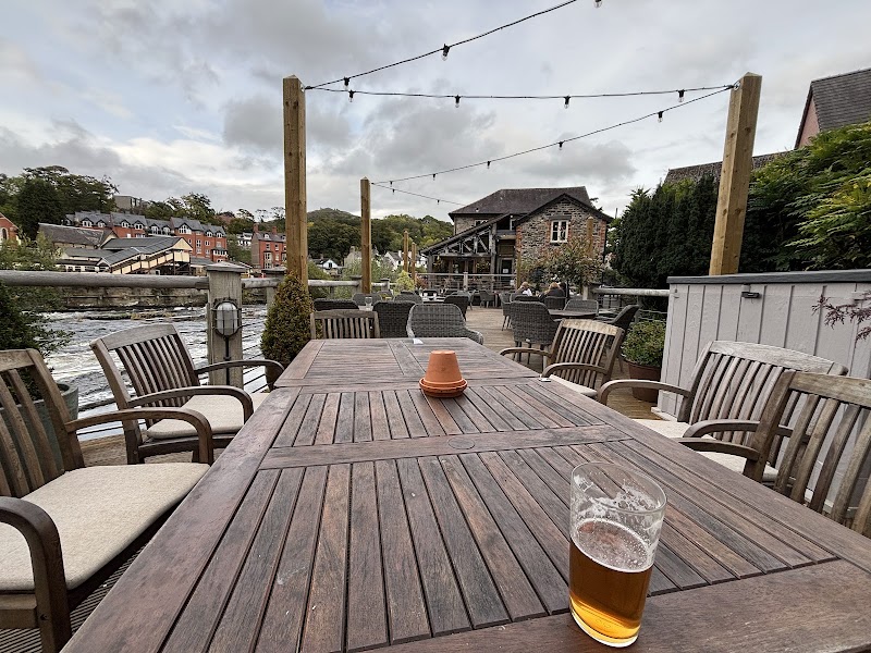
Powis Castle and Garden · Pontcysyllte Aqueduct · The Corn Mill
Stops along the route
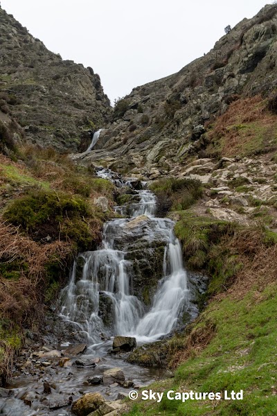
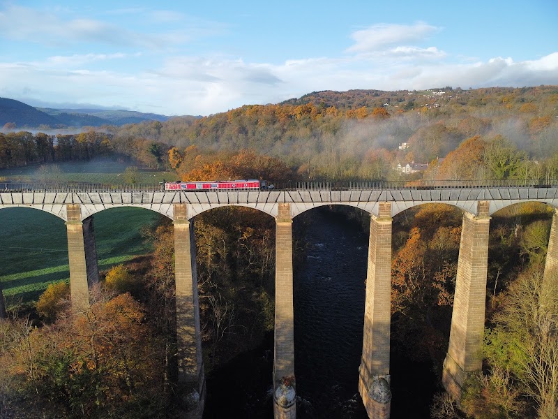
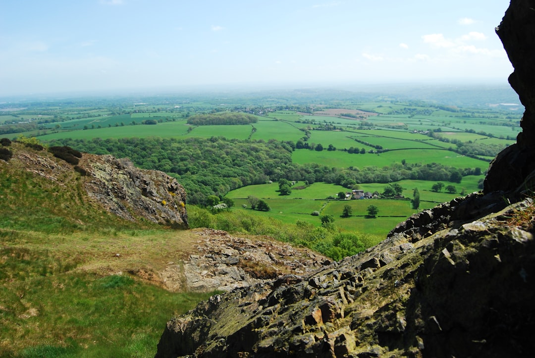
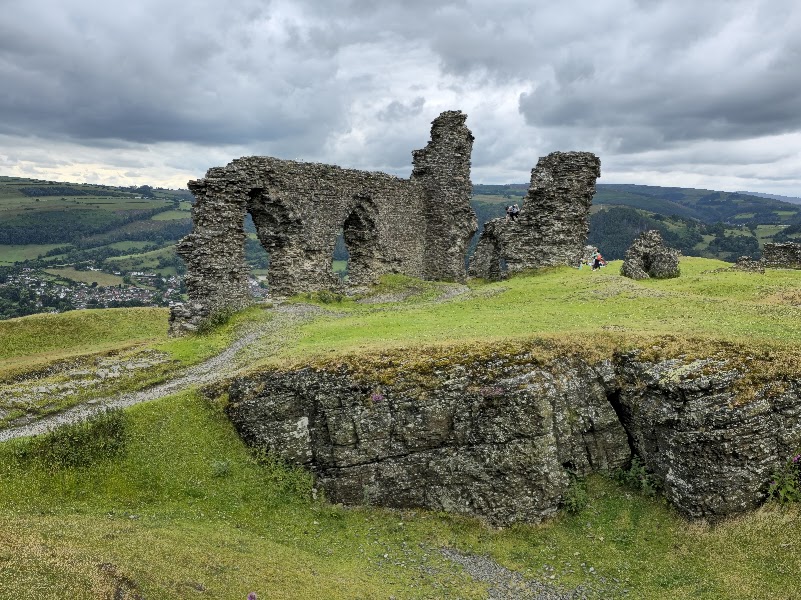
Things to Do
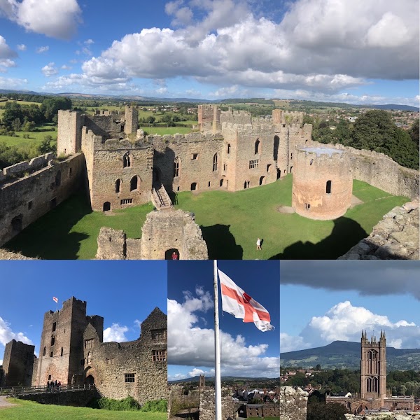
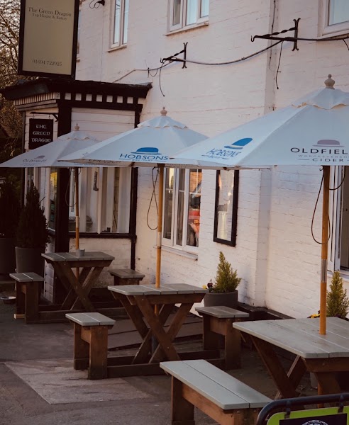
Where to Eat
Nearby and similar drives

Frequently asked questions
How long is the RoadAtlas Hidden Highway: Shropshire to Llangollen drive?
The RoadAtlas Hidden Highway: Shropshire to Llangollen covers 210 km from start to finish.
How long does the RoadAtlas Hidden Highway: Shropshire to Llangollen take to drive?
Most travellers spend 2 days on the RoadAtlas Hidden Highway: Shropshire to Llangollen, depending on stops and pace.
When is the best time to drive the RoadAtlas Hidden Highway: Shropshire to Llangollen?
The recommended season for the RoadAtlas Hidden Highway: Shropshire to Llangollen is Apr–Oct.
Where does the RoadAtlas Hidden Highway: Shropshire to Llangollen start and end?
The RoadAtlas Hidden Highway: Shropshire to Llangollen runs from Ludlow, Stokesay and Long Mynd to Powis, Pontcysyllte and Llangollen.
What are the main stops on the RoadAtlas Hidden Highway: Shropshire to Llangollen?
The RoadAtlas Hidden Highway: Shropshire to Llangollen passes through Ludlow, Stokesay and Long Mynd, Powis, Pontcysyllte and Llangollen.
How difficult is the RoadAtlas Hidden Highway: Shropshire to Llangollen to drive?
The RoadAtlas Hidden Highway: Shropshire to Llangollen is rated easy and is best handled with any vehicle.
Can I drive the RoadAtlas Hidden Highway: Shropshire to Llangollen in a regular car?
Yes — the RoadAtlas Hidden Highway: Shropshire to Llangollen is paved end-to-end and a regular car is fine in normal conditions.
Is the RoadAtlas Hidden Highway: Shropshire to Llangollen EV friendly?
Yes — the RoadAtlas Hidden Highway: Shropshire to Llangollen has charger coverage along the route and works as an EV road trip.
Is the RoadAtlas Hidden Highway: Shropshire to Llangollen safe to drive?
This is an original RoadAtlas itinerary, not an officially designated classic road. Check Stokesay, Powis and Pontcysyllte visitor pages for date-specific opening, last admission and car-park gate deadlines before committing to the cross-border sequence. Use narrow-road/livestock speeds in the Shropshire Hills and legal parking at every site. Craven Arms appears once only, as access to Stokesay/Discovery Centre depending audience and time.
What scenic tier is the RoadAtlas Hidden Highway: Shropshire to Llangollen?
The RoadAtlas Hidden Highway: Shropshire to Llangollen is a notable drive — Notable scenic drives — strong character routes that locals know well and that reward travellers willing to step beyond the most-photographed roads.