Ha Giang Loop
Vietnam
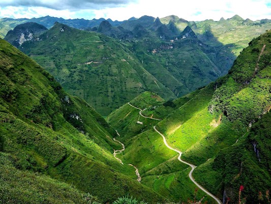
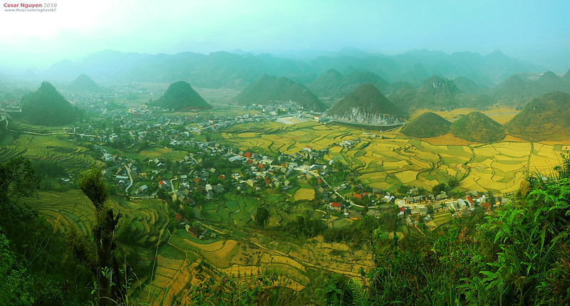
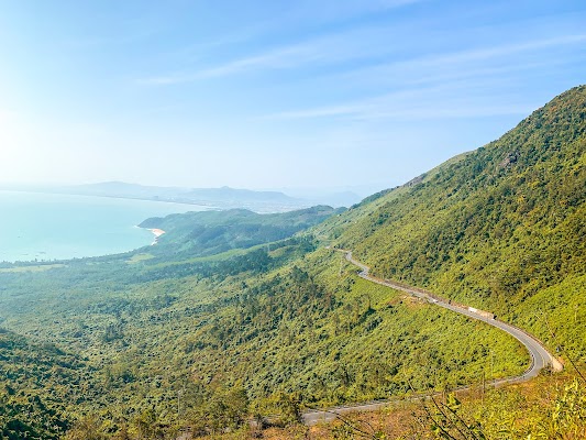
In short: Ha Giang Loop is a about 350 km mountain road trip in Vietnam, typically driven over 4 days, best in Oct–Apr. Highlights: Ha Giang, Yen Minh, Lung Cu and Dong Van.
The official four-day rhythm: Ha Giang–Yen Minh; Yen Minh–Dong Van via Lung Cu; Dong Van–Meo Vac–Du Gia; and Du Gia–Ha Giang.
Make this route yours
Set your dates, pace, and taste, and RoadAtlas AI rebuilds this trip day by day with real, verified places.
Included with Traveler and Explorer plans.
Plan this trip
Third-party planning links may be affiliate links. RoadAtlas stays independent, and you should verify details with the provider.
Day-by-day itinerary
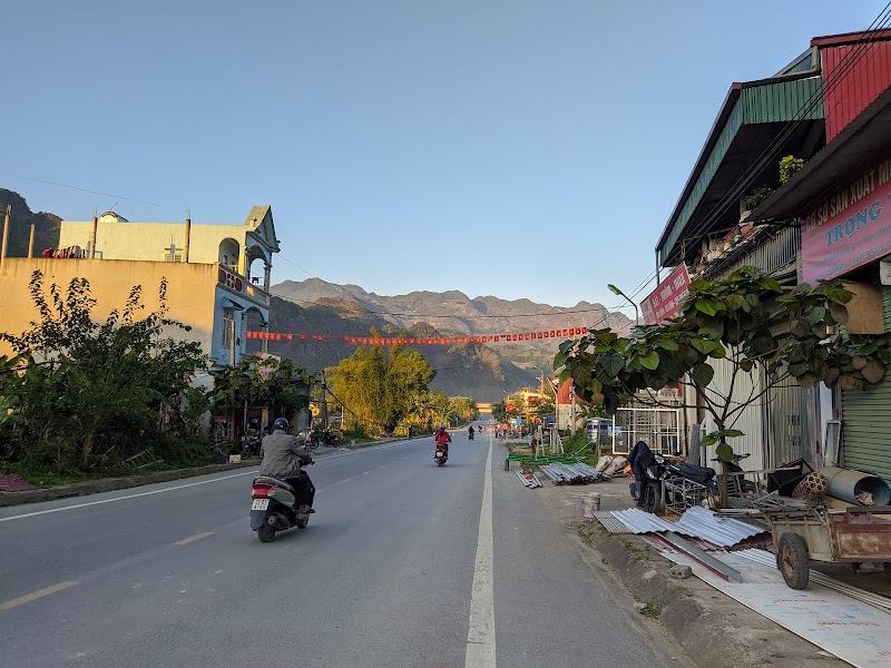
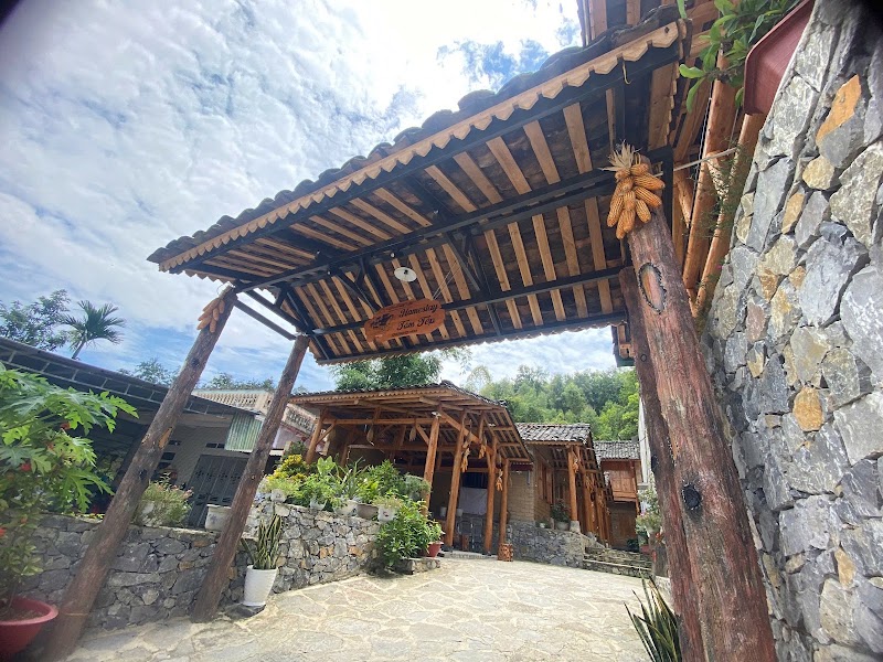
Day 1Ha Giang to Yen Minh
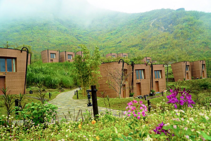
Quan Ba Heaven Gate and Yen Minh viewpoints · Confirmed Yen Minh homestay dinner
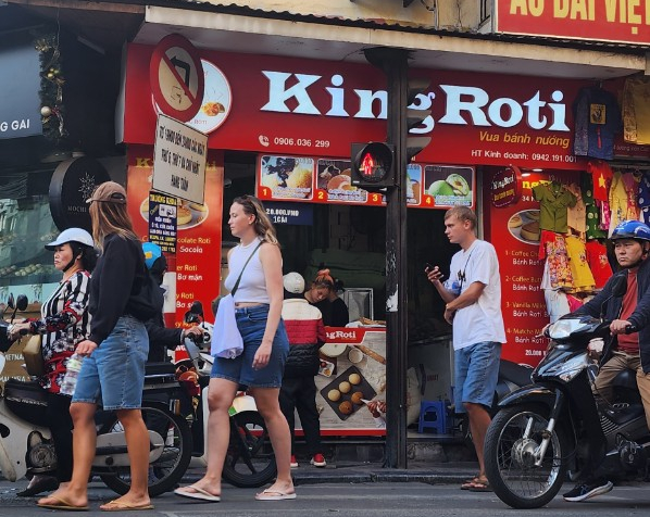
Day 2Yen Minh to Dong Van via Lung Cu
Lung Cu Flag Tower · King Roti
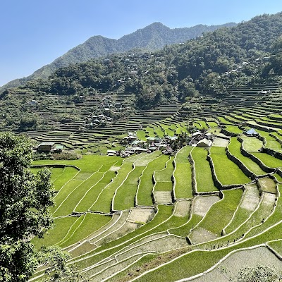
Day 3Dong Van to Meo Vac and Du Gia
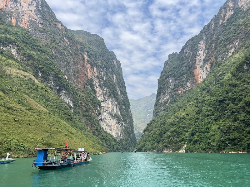
Ma Pi Leng and Nho Que boat · 1 High Bar Du Gia
Day 4Du Gia to Ha Giang
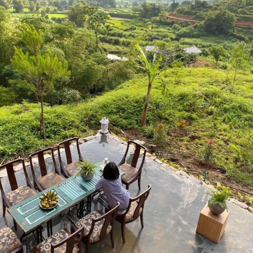
Du Gia village walk and daylight return · Bông Restaurant
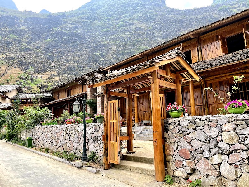
Stops along the route
Things to Do

Where to Eat

Nearby and similar drives

Frequently asked questions
How long is the Ha Giang Loop drive?
The Ha Giang Loop covers about 350 km from start to finish.
How long does the Ha Giang Loop take to drive?
Most travellers spend 4 days on the Ha Giang Loop, depending on stops and pace.
When is the best time to drive the Ha Giang Loop?
The recommended season for the Ha Giang Loop is Oct–Apr.
What are the main stops on the Ha Giang Loop?
The Ha Giang Loop passes through Ha Giang, Yen Minh, Lung Cu and Dong Van.
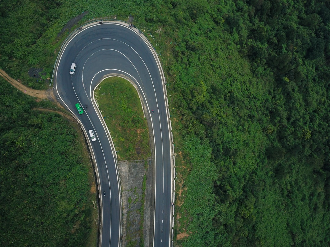
How difficult is the Ha Giang Loop to drive?
The Ha Giang Loop is rated hard and is best handled with suv only.
Do I need a 4WD for the Ha Giang Loop?
Yes — the Ha Giang Loop includes off-road or rough sections that require suv only.
Do I need a permit or border paperwork for the Ha Giang Loop?
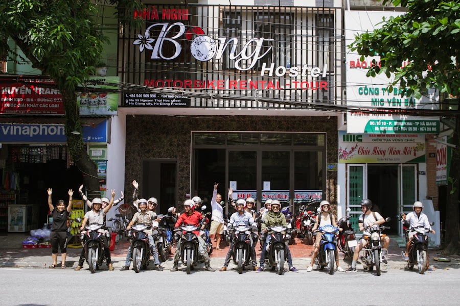
Yes — the Ha Giang Loop requires permits, fees, or border paperwork. Plan ahead: Vietnam is Level 1 as of 24 June 2026, but Ha Giang is a frontier area: register locally and confirm the current permit before departure. Motorcycle riders must hold a 1968 IDP and matching motorcycle licence and insurance. Inexperienced riders should use an experienced easy rider or a private car with local driver. Wear an approved helmet, avoid alcohol and night riding, and check fog, rain and landslides daily.
How many fuel stops are needed on the Ha Giang Loop?
Plan around 0 refuels (or about 1 EV charges) along the Ha Giang Loop, based on its about 350 km length.
Is the Ha Giang Loop safe to drive?
Vietnam is Level 1 as of 24 June 2026, but Ha Giang is a frontier area: register locally and confirm the current permit before departure. Motorcycle riders must hold a 1968 IDP and matching motorcycle licence and insurance. Inexperienced riders should use an experienced easy rider or a private car with local driver. Wear an approved helmet, avoid alcohol and night riding, and check fog, rain and landslides daily.
What scenic tier is the Ha Giang Loop?
The Ha Giang Loop is a legendary drive — The world's most extraordinary drives — once-in-a-lifetime road trips with cinematic scenery, legendary roads, and unmatched cultural depth.