Denali Highway
United States
In short: Denali Highway is a 135 mi / 217 km scenic road trip in United States, typically driven over 2 days, best in late May to mid-September. Highlights: Paxson, Tangle Lakes, Tangle Lakes Archaeological District.
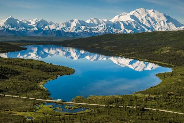
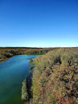
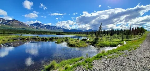
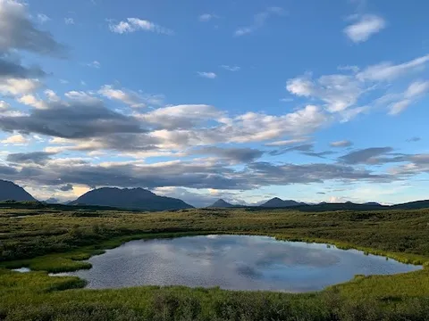
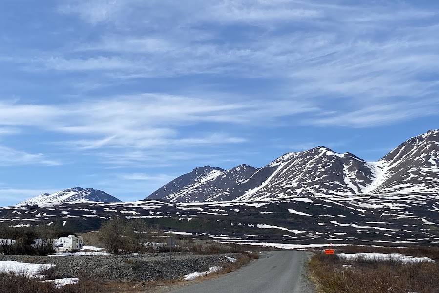
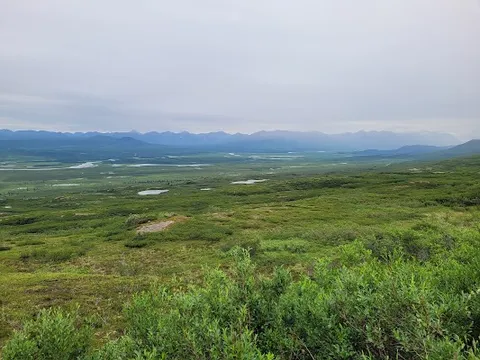
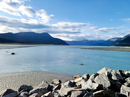
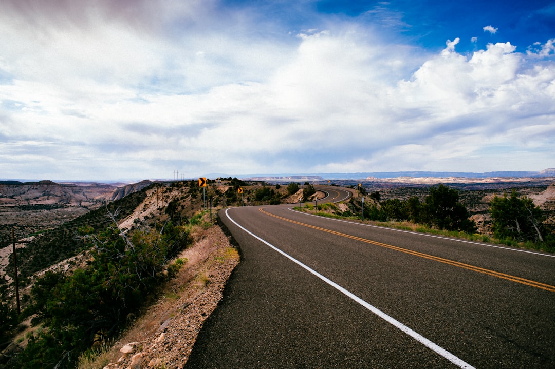
The Denali Highway runs between Paxson and Cantwell across a vast sweep of tundra, alpine lakes, and glacier-carved ridges with constant views of the Alaska Range. Long gravel stretches and frequent wildlife sightings make it a classic remote drive, best enjoyed slowly in clear summer weather.
Make this route yours
Set your dates, pace, and taste, and RoadAtlas AI rebuilds this trip day by day with real, verified places.
Included with Traveler and Explorer plans.
Plan this trip
Third-party planning links may be affiliate links. RoadAtlas stays independent, and you should verify details with the provider.
Day-by-day itinerary
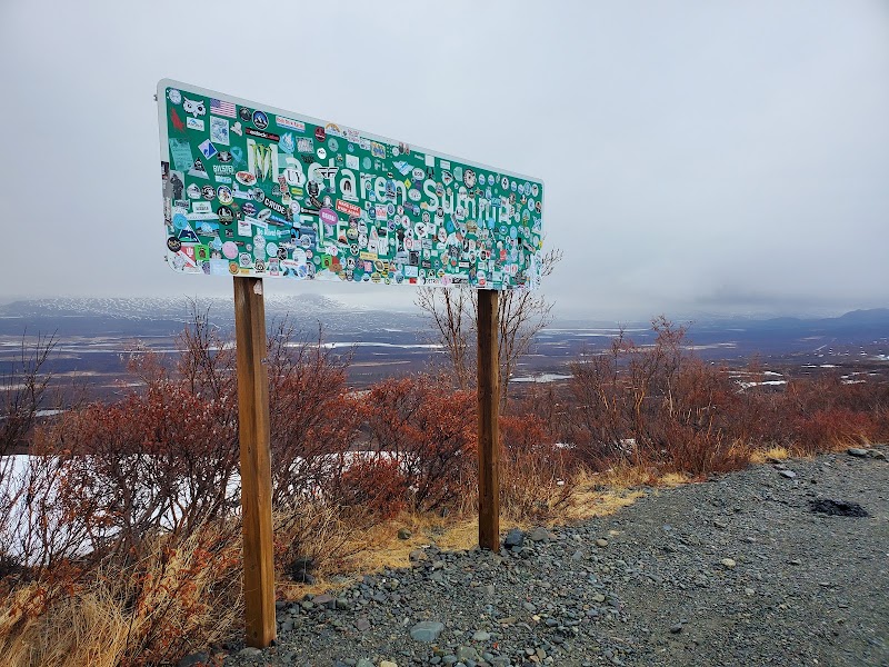
Day 1Paxson to the Maclaren River corridor
Tangle Lakes Archaeological District · Maclaren Summit pullouts · Carry-in provisions
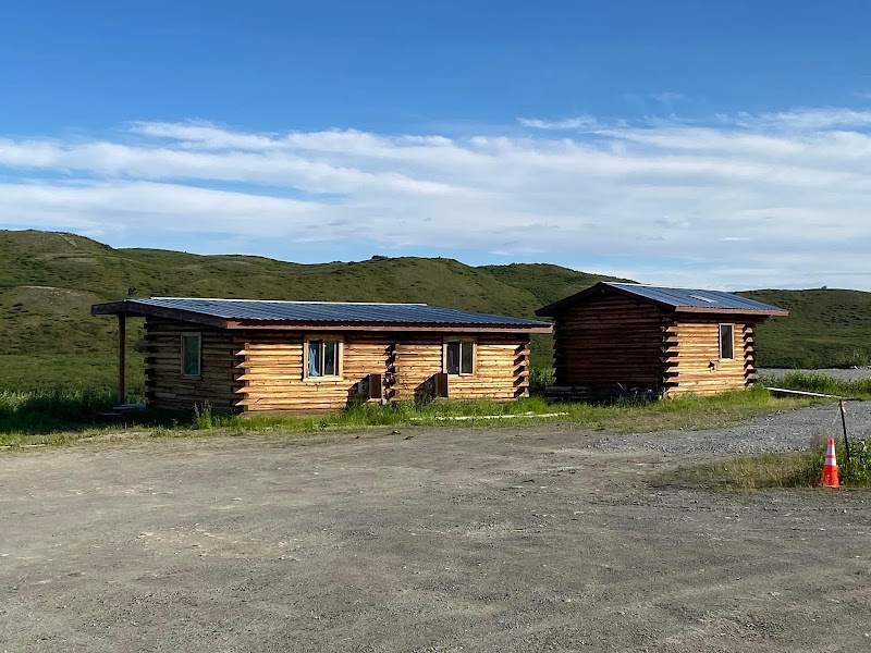
Day 2Maclaren River corridor to Cantwell
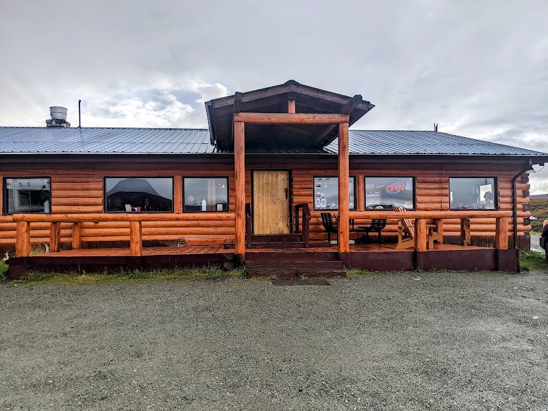
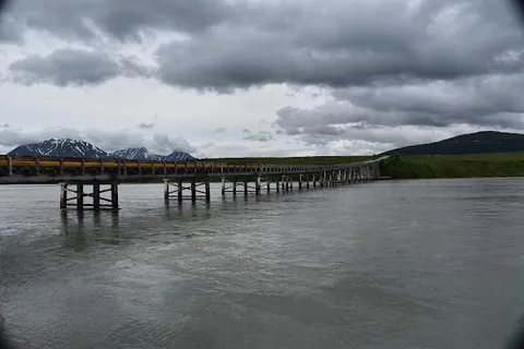
Maclaren River wildlife viewing · Susitna River overlook and Cantwell exit · Maclaren River Lodge, only if confirmed
Stops along the route
Things to Do

Show 5 more

Where to Eat


Nearby and similar drives
Frequently asked questions
How long is the Denali Highway drive?
The Denali Highway covers 135 mi / 217 km from start to finish.
How long does the Denali Highway take to drive?
Most travellers spend 2 days on the Denali Highway, depending on stops and pace.
When is the best time to drive the Denali Highway?
The recommended season for the Denali Highway is late May to mid-September.
Where does the Denali Highway start and end?
The Denali Highway runs from Paxson to Cantwell.
What are the main stops on the Denali Highway?
The Denali Highway passes through Paxson, Tangle Lakes, Tangle Lakes Archaeological District.
Is the Denali Highway safe to drive?
This seasonal, mostly gravel road receives no winter maintenance. Confirm the rental agreement allows it, check Alaska 511 immediately before departure, and carry a full spare, jack, tire-repair gear, fuel reserve, a full day of food and water, offline maps, and emergency communications. Lodge meals and fuel are never guaranteed; verify Maclaren and Tangle Lakes services directly and keep a wildlife-safe distance.
What scenic tier is the Denali Highway?
The Denali Highway is a iconic drive — Iconic road trips that anchor a region's reputation — postcard scenery, headline highways, and the routes most travellers want to drive.