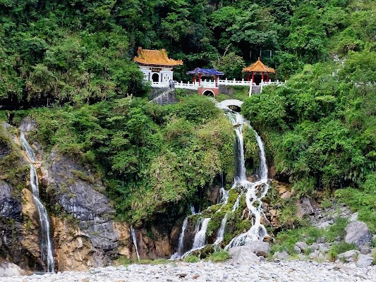
Central Cross-Island Highway Access Alternatives
Taiwan
In short: Central Cross-Island Highway Access Alternatives is a West: about 420 km return; east: about 65 km return mountain road trip in Taiwan, typically driven over 2 days west / 1 day east, best in Apr-May / Oct-Nov. Highlights: Taichung - west option start, Puli, Hehuanshan and Dayuling.
The historic Central Cross-Island Highway cannot currently be presented as a routine through-drive. This repaired itinerary offers two honest modules: a two-day western high-country trip from Taichung to Lishan and Wuling Farm via Puli, Highway 14A, and Dayuling, returning by the same verified public roads; and a separate one-day Hualien-side visit to the open Taroko Visitor Center and Qingshui Cliff coast. There is no drive between the modules and no recreational gorge transit.
Make this route yours
Set your dates, pace, and taste, and RoadAtlas AI rebuilds this trip day by day with real, verified places.
Included with Traveler and Explorer plans.
Plan this trip
Third-party planning links may be affiliate links. RoadAtlas stays independent, and you should verify details with the provider.
Day-by-day itinerary
Day 1West option — Taichung to Lishan via Puli and Dayuling
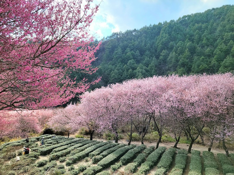
Taichung–Puli provisioning leg · Highway 14/14A over Hehuanshan to Dayuling · Hsieh Breakfast and Douhua Store
Day 2West option — Lishan to Wuling Farm and return to Taichung
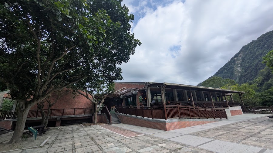
Lishan to Wuling Farm out-and-back · Return via Dayuling, Highway 14A, and Puli · Wuling Farm Restaurant
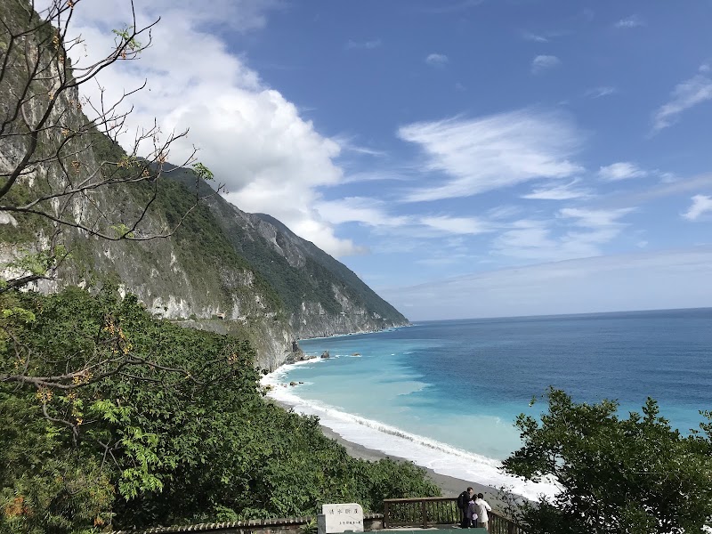
Day 3Independent east option — Hualien to the Taroko gateway and Qingshui Cliff
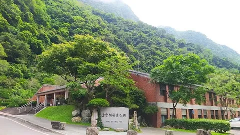
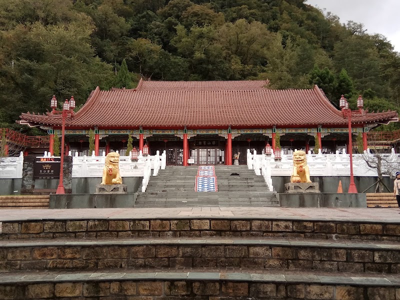
Taroko National Park Visitor Center · Do not enter the controlled gorge for recreation · Hualien Xiang Wonton
Stops along the route

Things to Do


Show 2 more
Where to Eat

Nearby and similar drives
Frequently asked questions
How long is the Central Cross-Island Highway Access Alternatives drive?
The Central Cross-Island Highway Access Alternatives covers West: about 420 km return; east: about 65 km return from start to finish.
How long does the Central Cross-Island Highway Access Alternatives take to drive?
Most travellers spend 2 days west / 1 day east on the Central Cross-Island Highway Access Alternatives, depending on stops and pace.
When is the best time to drive the Central Cross-Island Highway Access Alternatives?
The recommended season for the Central Cross-Island Highway Access Alternatives is Apr-May / Oct-Nov.
Where does the Central Cross-Island Highway Access Alternatives start and end?
The Central Cross-Island Highway Access Alternatives runs from Taichung - west option start to Qingshui Cliff - independent east option.
What are the main stops on the Central Cross-Island Highway Access Alternatives?
The Central Cross-Island Highway Access Alternatives passes through Taichung - west option start, Puli, Hehuanshan and Dayuling.
How difficult is the Central Cross-Island Highway Access Alternatives to drive?
The Central Cross-Island Highway Access Alternatives is rated challenging and is best handled with any vehicle.
Can I drive the Central Cross-Island Highway Access Alternatives in a regular car?
Yes — the Central Cross-Island Highway Access Alternatives is paved end-to-end and a regular car is fine in normal conditions.
How many fuel stops are needed on the Central Cross-Island Highway Access Alternatives?
Plan around 0 refuels (or about 1 EV charges) along the Central Cross-Island Highway Access Alternatives, based on its West: about 420 km return; east: about 65 km return length.
Is the Central Cross-Island Highway Access Alternatives EV friendly?
Yes — the Central Cross-Island Highway Access Alternatives has charger coverage along the route and works as an EV road trip.
Is the Central Cross-Island Highway Access Alternatives safe to drive?
Status checked 13 July 2026: this is not a continuous Taichung-to-Hualien self-drive. Do not route an ordinary rental car through the restricted Guguan-Lishan temporary access road. The two-day west option reaches Lishan from Taichung by the public Highway 14/14A-Dayuling approach and returns the same way, but only after checking the Directorate General of Highways live map at 168.thb.gov.tw for every segment. The independent east option starts and ends in Hualien and stays outside the controlled gorge. Taroko says most trails and scenic stops between the entrance and Tianxiang remain closed, including Shakadang, Eternal Spring Shrine, Swallow Grotto, Buluowan, Zhuilu, and Tunnel of Nine Turns; never enter a closure. Highway 8 gorge traffic, when open, currently releases at 06:30-08:00, 10:00-10:05, 12:00-13:00, 15:00-15:05, and 17:00-18:00, with outbound-only movement 18:00-18:30 and closure 18:30-06:30. Vehicles must follow the convoy and may not stop, and the park advises against entry unless necessary. Recheck Taroko's official Highway Condition and Roads and Trails pages immediately before travel because rain, typhoons, earthquakes, rockfall, works, or drills can cancel access. Carry warm layers, fuel or charge before the high country, avoid darkness, and confirm current passport, licence, International Driving Permit, insurance, and mountain-road restrictions with the rental company.
What scenic tier is the Central Cross-Island Highway Access Alternatives?
The Central Cross-Island Highway Access Alternatives is a iconic drive — Iconic road trips that anchor a region's reputation — postcard scenery, headline highways, and the routes most travellers want to drive.