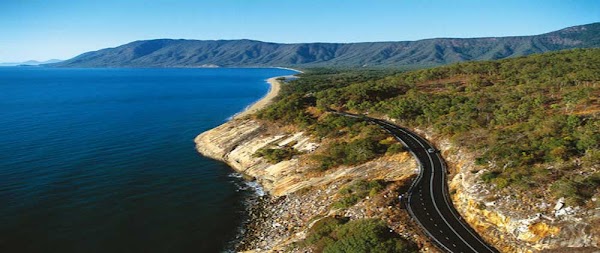
Captain Cook Highway and Daintree Coast
Australia
In short: Captain Cook Highway and Daintree Coast is a 150 km scenic road trip in Australia, typically driven over 2 days, best in May–Sep. Highlights: Cairns, Palm Cove, Ellis Beach.
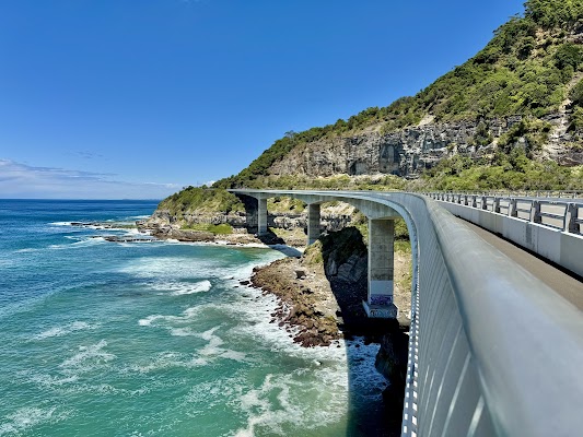
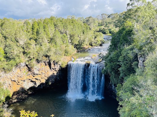
A two-day coast journey: the named Captain Cook Highway links Cairns and Port Douglas, then the explicitly disclosed Daintree Coast extension continues through Mossman, the ferry and rainforest to Cape Tribulation.
Make this route yours
Set your dates, pace, and taste, and RoadAtlas AI rebuilds this trip day by day with real, verified places.
Included with Traveler and Explorer plans.
Plan this trip
Third-party planning links may be affiliate links. RoadAtlas stays independent, and you should verify details with the provider.
Day-by-day itinerary
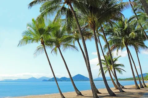
Day 1Cairns to Port Douglas on the Captain Cook Highway
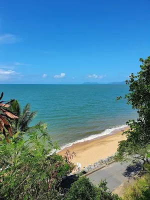
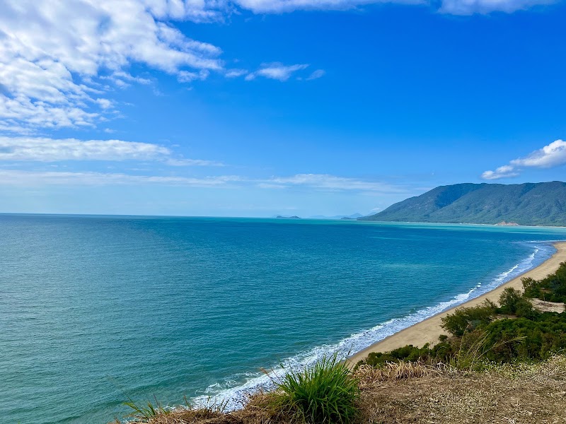
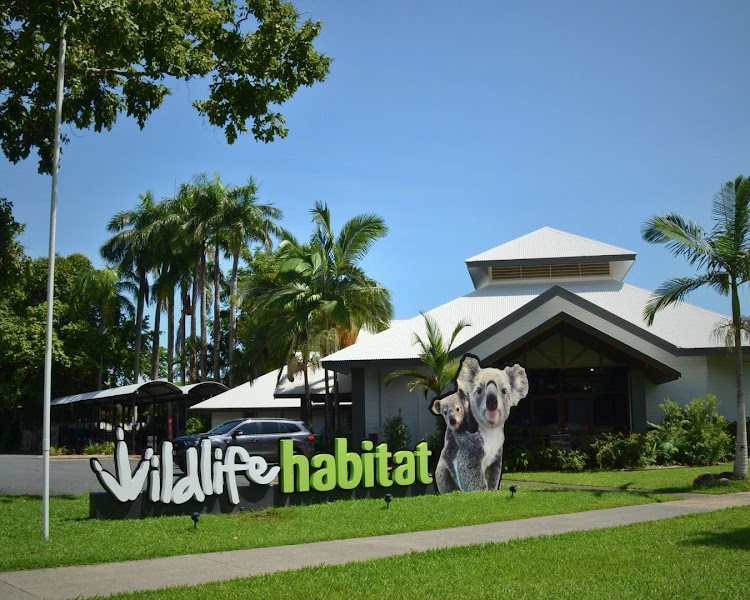
Rex Lookout and Palm Cove · Wildlife Habitat Port Douglas · Nu Nu Restaurant
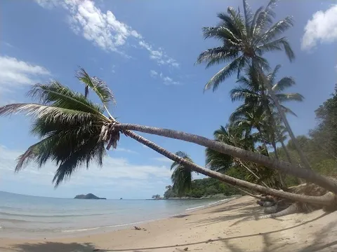
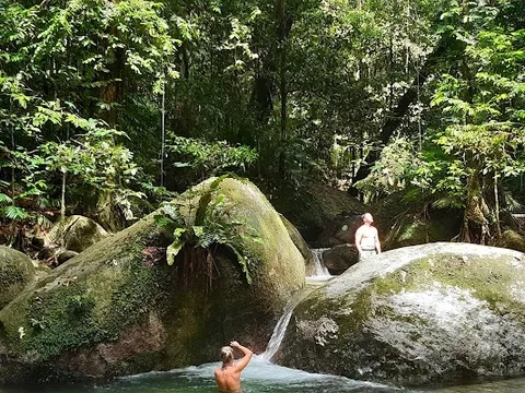
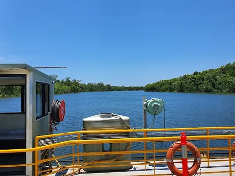
Day 2Port Douglas to Cape Tribulation via Mossman and the Daintree Coast
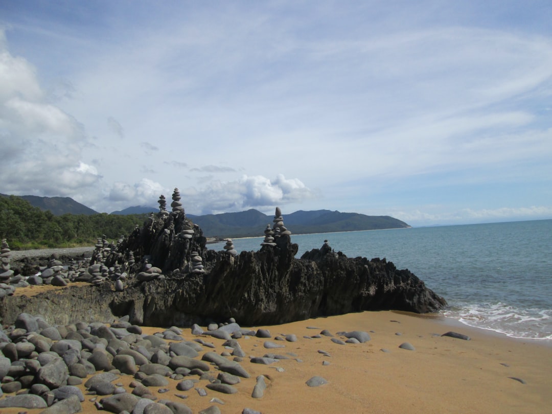
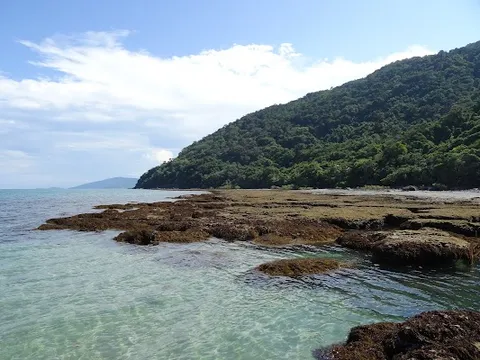
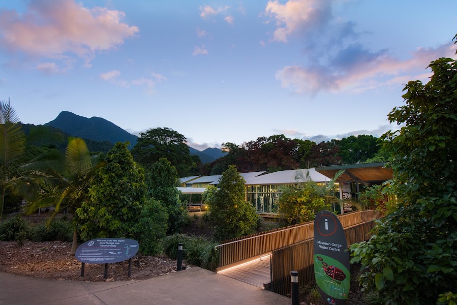
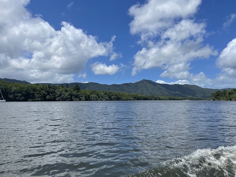
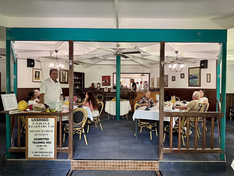
Mossman Gorge guided walk · Daintree Ferry and Cape Tribulation · Daintree Tea House
Stops along the route
Things to Do
Show 2 more
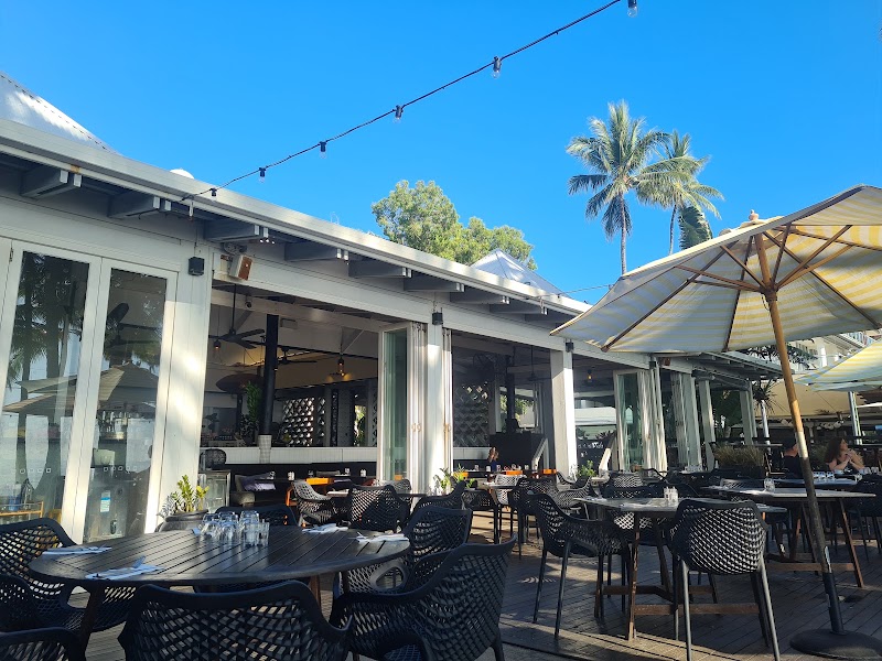
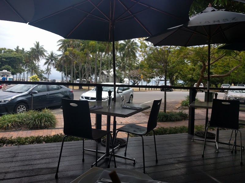
Where to Eat
Nearby and similar drives
Frequently asked questions
How long is the Captain Cook Highway and Daintree Coast drive?
The Captain Cook Highway and Daintree Coast covers 150 km from start to finish.
How long does the Captain Cook Highway and Daintree Coast take to drive?
Most travellers spend 2 days on the Captain Cook Highway and Daintree Coast, depending on stops and pace.
When is the best time to drive the Captain Cook Highway and Daintree Coast?
The recommended season for the Captain Cook Highway and Daintree Coast is May–Sep.
Where does the Captain Cook Highway and Daintree Coast start and end?
The Captain Cook Highway and Daintree Coast runs from Cairns to Cape Tribulation.
What are the main stops on the Captain Cook Highway and Daintree Coast?
The Captain Cook Highway and Daintree Coast passes through Cairns, Palm Cove, Ellis Beach.
How difficult is the Captain Cook Highway and Daintree Coast to drive?
The Captain Cook Highway and Daintree Coast is rated easy and is best handled with any vehicle.
Can I drive the Captain Cook Highway and Daintree Coast in a regular car?
Yes — the Captain Cook Highway and Daintree Coast is paved end-to-end and a regular car is fine in normal conditions.
Is the Captain Cook Highway and Daintree Coast EV friendly?
Yes — the Captain Cook Highway and Daintree Coast has charger coverage along the route and works as an EV road trip.
Is the Captain Cook Highway and Daintree Coast safe to drive?
Check Queensland Traffic (https://qldtraffic.qld.gov.au/), Douglas Shire Daintree Ferry updates (https://douglas.qld.gov.au/daintree-ferry/) and Queensland park alerts (https://parks.qld.gov.au/park-alerts) immediately before travelling north. Ferry breaks, maintenance, flooding and queues can change the plan. Drive north of the river only in daylight, obey low speed limits on narrow bends, watch for cassowaries, and never swim in unapproved water because crocodiles and marine stingers may be present.
What scenic tier is the Captain Cook Highway and Daintree Coast?
The Captain Cook Highway and Daintree Coast is a iconic drive — Iconic road trips that anchor a region's reputation — postcard scenery, headline highways, and the routes most travellers want to drive.