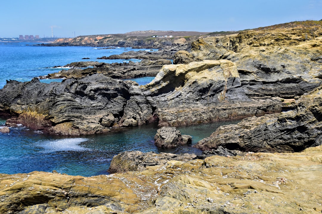
Alentejo & Algarve Beaches
Portugal
In short: Alentejo & Algarve Beaches is a About 360 km scenic road trip in Portugal, typically driven over 5 days, best in May – October. Highlights: Vila Nova de Milfontes, Odeceixe, Aljezur.
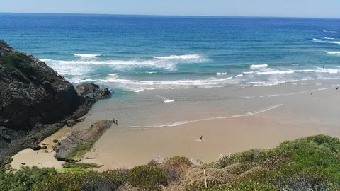
Portugal's southern Atlantic coast, from the long, uncrowded beaches of the Alentejo costa vicentina through the wild Sagres peninsula to the Algarve. This isn't the Mediterranean; it's the Atlantic with surfable waves, maritime history, pine and rosemary dunes, and beaches so remote that access tracks are unmarked. The drive takes in the finest beaches in Portugal's least developed coastline.
Make this route yours
Set your dates, pace, and taste, and RoadAtlas AI rebuilds this trip day by day with real, verified places.
Included with Traveler and Explorer plans.
Plan this trip
Third-party planning links may be affiliate links. RoadAtlas stays independent, and you should verify details with the provider.
Day-by-day itinerary
Day 1Vila Nova de Milfontes via Cabo Sardão to Zambujeira / Odeceixe
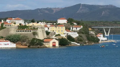
Fort São Clemente and Milfontes beach · Cabo Sardão · Ritual
Day 2Odeceixe to Aljezur with short Rota Vicentina walk
Short signed Rota Vicentina circular · Aljezur castle / town · Taberna do Gabão
Day 3Sagres to Lagos
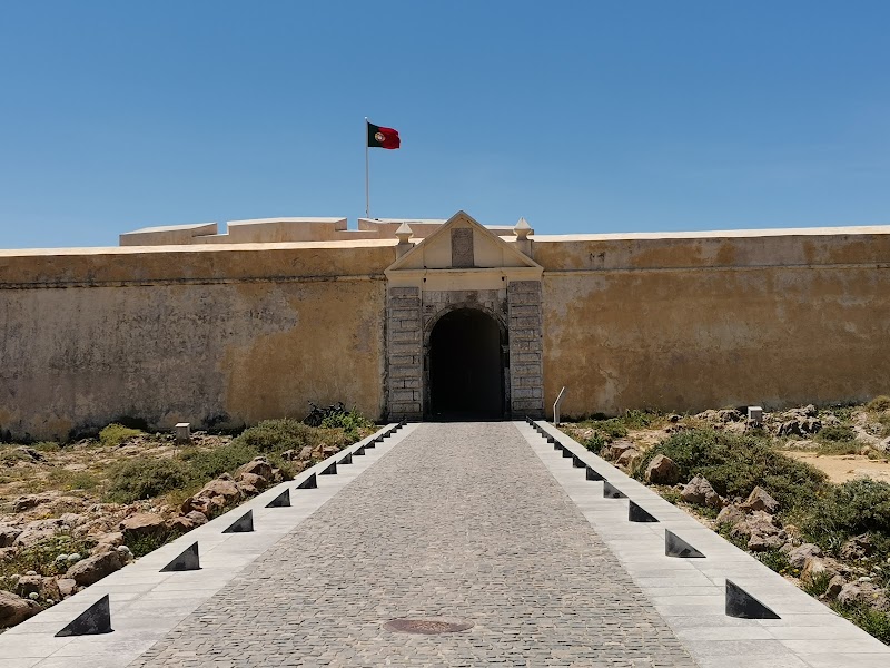
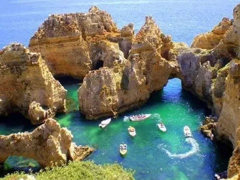
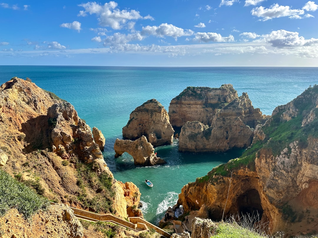
Sagres fortress · Ponta da Piedade boardwalk and Lagos old town · A Sagres
Day 4Portimão and Praia da Rocha
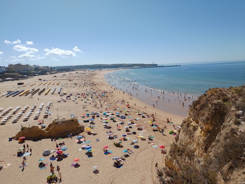
Praia da Rocha and Portimão · Restaurante F
Day 5Tavira, Cacela Velha and Ria Formosa
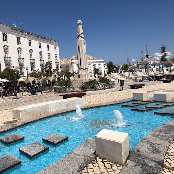
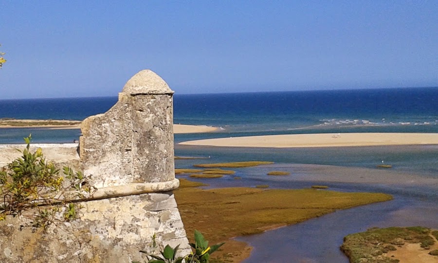
Tavira old town · Cacela Velha and licensed/tide-aware Ria Formosa outing · Casa da Igreja
Stops along the route
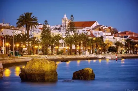
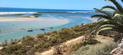
Things to Do
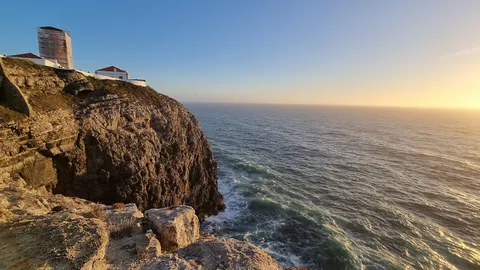
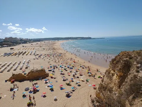
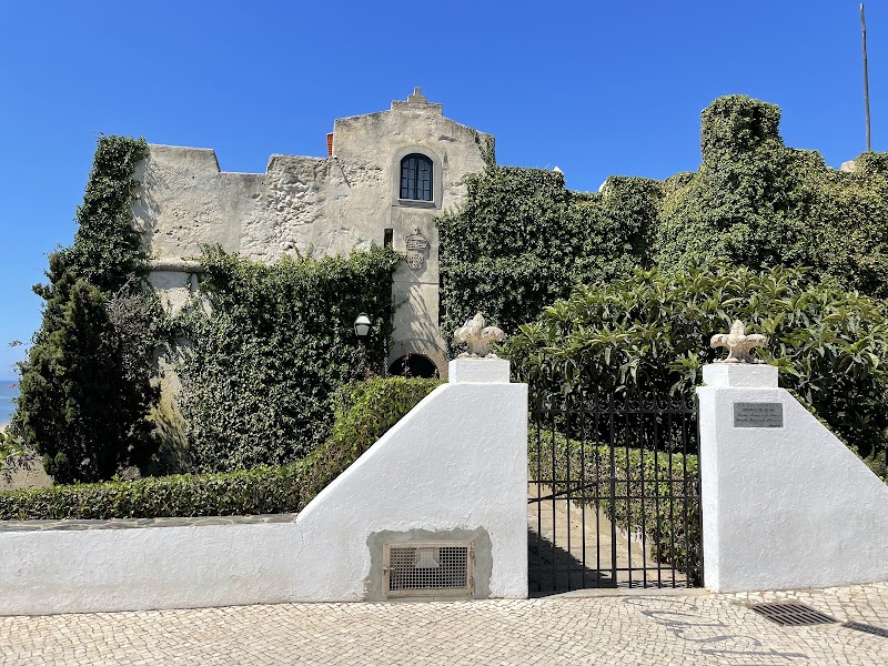
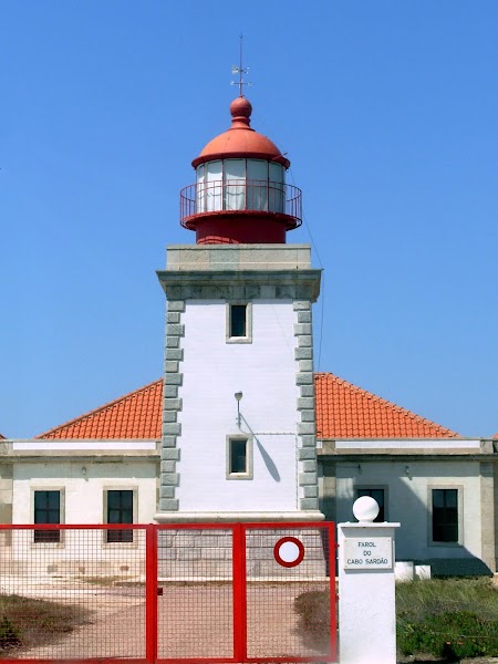
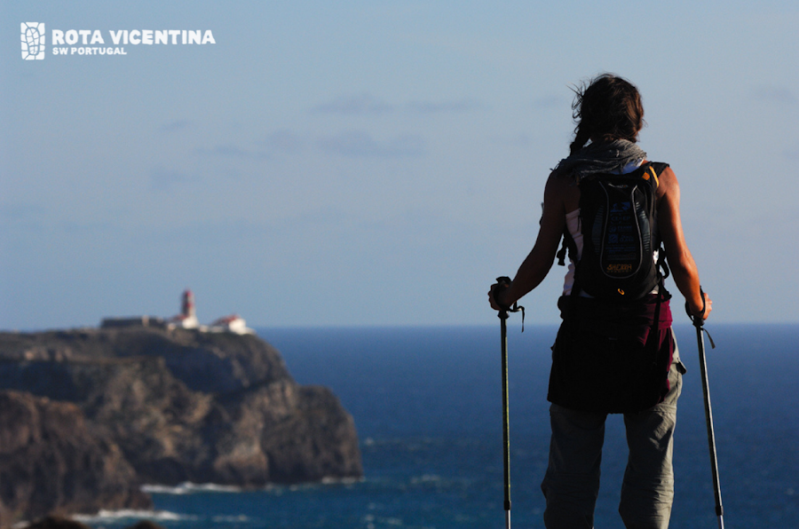
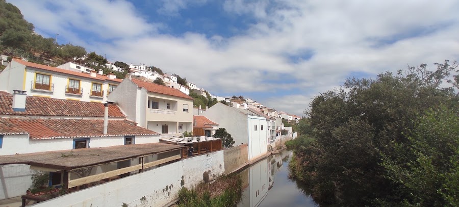
Show 5 more
Where to Eat



Show 1 more

Nearby and similar drives

Frequently asked questions
How long is the Alentejo & Algarve Beaches drive?
The Alentejo & Algarve Beaches covers About 360 km from start to finish.
How long does the Alentejo & Algarve Beaches take to drive?
Most travellers spend 5 days on the Alentejo & Algarve Beaches, depending on stops and pace.
When is the best time to drive the Alentejo & Algarve Beaches?
The recommended season for the Alentejo & Algarve Beaches is May – October.
Where does the Alentejo & Algarve Beaches start and end?
The Alentejo & Algarve Beaches runs from Vila Nova de Milfontes to Cacela Velha.
What are the main stops on the Alentejo & Algarve Beaches?
The Alentejo & Algarve Beaches passes through Vila Nova de Milfontes, Odeceixe, Aljezur.
How difficult is the Alentejo & Algarve Beaches to drive?
The Alentejo & Algarve Beaches is rated easy and is best handled with any vehicle.
Can I drive the Alentejo & Algarve Beaches in a regular car?
Yes — the Alentejo & Algarve Beaches is paved end-to-end and a regular car is fine in normal conditions.
How many fuel stops are needed on the Alentejo & Algarve Beaches?
Plan around 0 refuels (or about 1 EV charges) along the Alentejo & Algarve Beaches, based on its About 360 km length.
Is the Alentejo & Algarve Beaches EV friendly?
Yes — the Alentejo & Algarve Beaches has charger coverage along the route and works as an EV road trip.
Is the Alentejo & Algarve Beaches safe to drive?
Check daily civil-protection/fire-danger status, official Rota Vicentina alerts and beach flags. This road-trip version uses a short signed circular trail; a full point-to-point stage requires a separate car-free day and booked return transfer. Use licensed boats only, marked beach access and no improvised tidal crossings. The route explicitly continues east on day 5 to Tavira/Cacela and a legal Ria Formosa experience.
What scenic tier is the Alentejo & Algarve Beaches?
The Alentejo & Algarve Beaches is a notable drive — Notable scenic drives — strong character routes that locals know well and that reward travellers willing to step beyond the most-photographed roads.