メキシコの植民地時代の中心地
メキシコ
要点: メキシコの植民地時代の中心地はメキシコを走る800 kmの文化ロードトリップで、所要約5–7日、ベストシーズンは10月 – 5月。見どころ:メキシコシティ、テオティワカン、ケレタロ。
バヒオ地方の銀の都をめぐる、ユネスコの見どころが満載の周遊ルート。ケレタロ、サン・ミゲル・デ・アジェンデ、グアナフアトを巡り、16世紀の壮麗さ、色鮮やかな路地、カンティーナ文化がメキシコらしさの頂点に達します。
このルートを自分仕様に
日程、ペース、好みを設定すると、RoadAtlasのAIが実在の確認済みスポットでこの旅を1日ずつ組み直します。
TravelerおよびExplorerプランに含まれます。
この旅をプランする
サードパーティのプランニングリンクはアフィリエイトリンクの場合があります。RoadAtlasは独立性を保ちます。詳細はプロバイダーにご確認ください。
日ごとの旅程
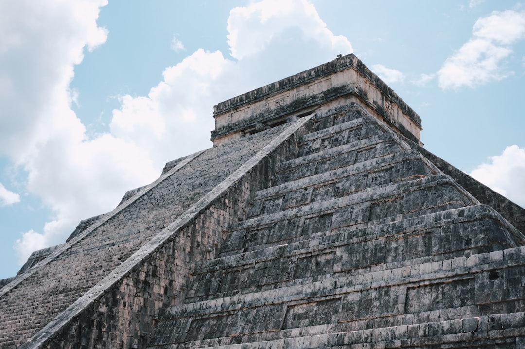
1日目メキシコシティとメキシコ渓谷南部
フリーダ・カーロ博物館 · ソカロとメトロポリタン大聖堂 · メルカド・デ・コヨアカン
2日目メキシコシティからテオティワカンへ、そこからケレタロへ直行
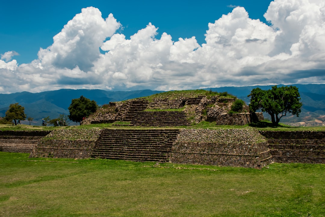
テオティワカン考古遺跡 · ペニャ・デ・ベルナル · La Gruta
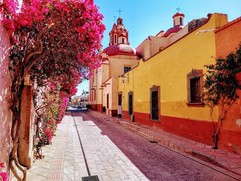
3日目ケレタロ
ケレタロ歴史的記念物地区 · ケレタロ水道橋 · Villa Romantik
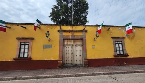
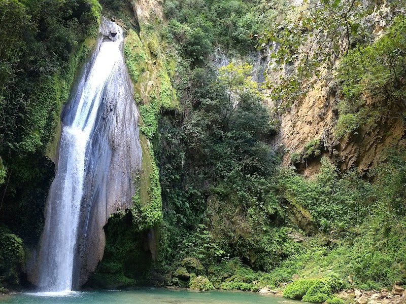
4日目サン・ミゲル・デ・アジェンデとドローレス・イダルゴ
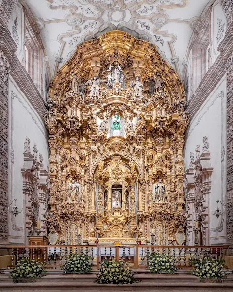
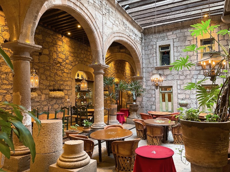
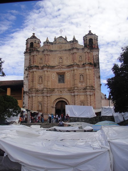
サン・ミゲル・アルカンヘル教区教会 · イダルゴ博物館 · The Restaurant
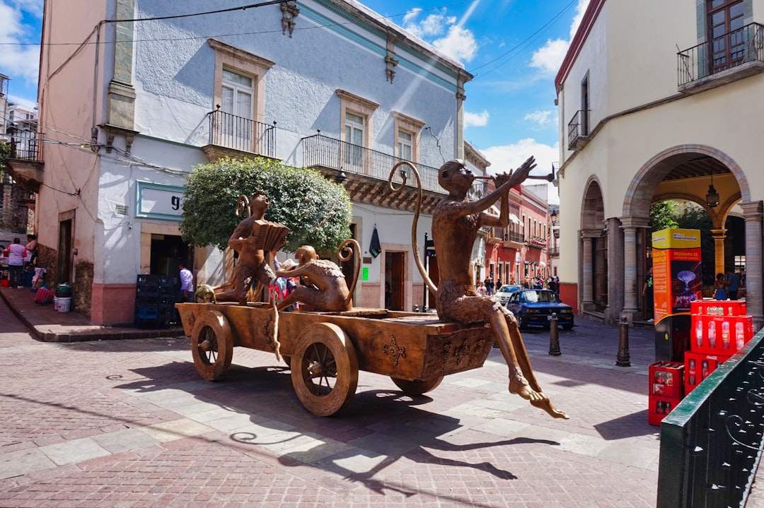
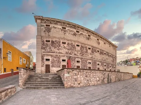
5日目グアナフアト
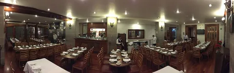
アロンディガ・デ・グラナディータス · 口づけの小道(Callejón del Beso) · Casa Valadez
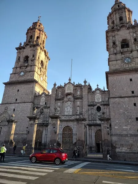
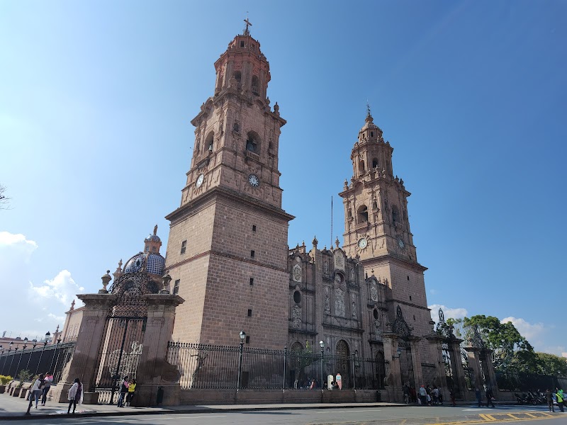
6日目モレリア
モレリア大聖堂 · モレリア水道橋 · Los Mirasoles
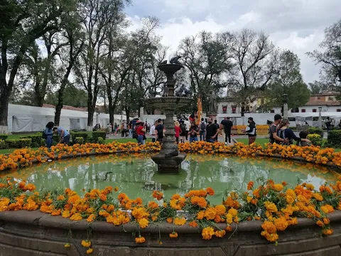
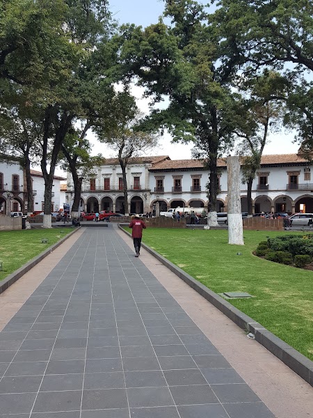
7日目パツクアロ
ハニツィオ島 · バスコ・デ・キロガ広場 · El Primer Piso
ルート上のスポット


アクティビティ


さらに2件表示
食事場所

近くの似たルート
よくある質問
メキシコの植民地時代の中心地はどのくらいの距離ですか?
メキシコの植民地時代の中心地は始点から終点まで800 kmです。
メキシコの植民地時代の中心地を走破するのにどれくらいかかりますか?
立ち寄り場所やペースにもよりますが、多くの旅行者はメキシコの植民地時代の中心地に5–7日かけます。
メキシコの植民地時代の中心地を走るのに最適な時期は?
メキシコの植民地時代の中心地のおすすめシーズンは10月 – 5月です。
メキシコの植民地時代の中心地の起点と終点はどこですか?
メキシコの植民地時代の中心地はメキシコシティからパツクアロまでを結びます。
メキシコの植民地時代の中心地の主な立ち寄りスポットは?
メキシコの植民地時代の中心地はメキシコシティ、テオティワカン、ケレタロを通ります。
メキシコの植民地時代の中心地の運転難易度は?
メキシコの植民地時代の中心地は簡単に分類され、車種を問わないでの走行が最適です。
メキシコの植民地時代の中心地は普通車でも走れますか?
はい — メキシコの植民地時代の中心地は全線舗装で、通常の条件であれば普通車で問題ありません。
メキシコの植民地時代の中心地での給油回数の目安は?
800 kmの距離に対して、メキシコの植民地時代の中心地沿いで給油約1回(またはEV充電約2回)を見込んでください。
メキシコの植民地時代の中心地の運転は安全ですか?
予約前にメキシコシティ、ケレタロ、グアナフアト、ミチョアカン各地の最新渡航情報を確認する。地域によって制限が大きく異なる場合がある。パスポート/FMMの記録、車両登録書、メキシコで有効な保険を携行し、推奨される場所では有料道路を使って日中に移動し、歩行者専用の歴史地区外にある警備された駐車場へ車を置く。
メキシコの植民地時代の中心地の景観ティアは?
メキシコの植民地時代の中心地はアイコニッククラスのドライブです — 地域の名声を支える象徴的なドライブ。絵葉書のような景色、看板級のハイウェイ、誰もが走りたいルート。