Top of the World Highway
Canadá
En resumen: Top of the World Highway es un viaje paisajístico de 174 km / 108 mi más ferry; unos 190 km con Midnight Dome en Canadá, normalmente de 2 días y mejor en junio-septiembre. Imperdibles: Dawson City, Midnight Dome, Mirador de la Top of the World Highway.
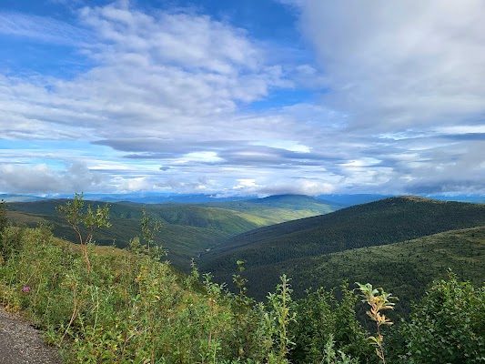
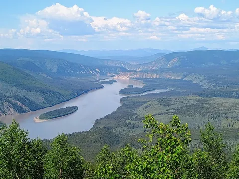
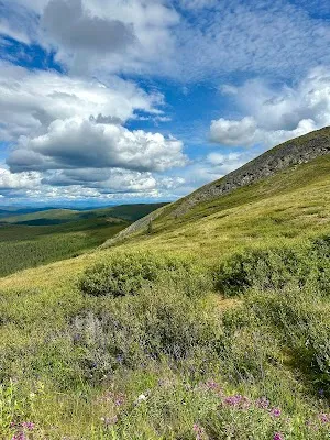
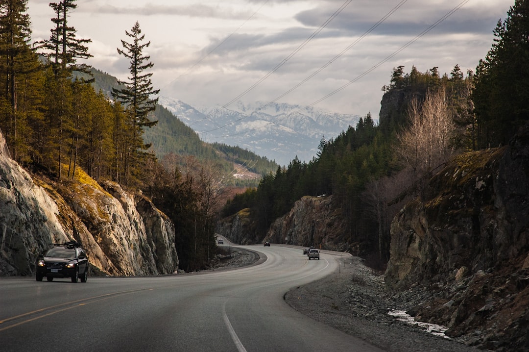
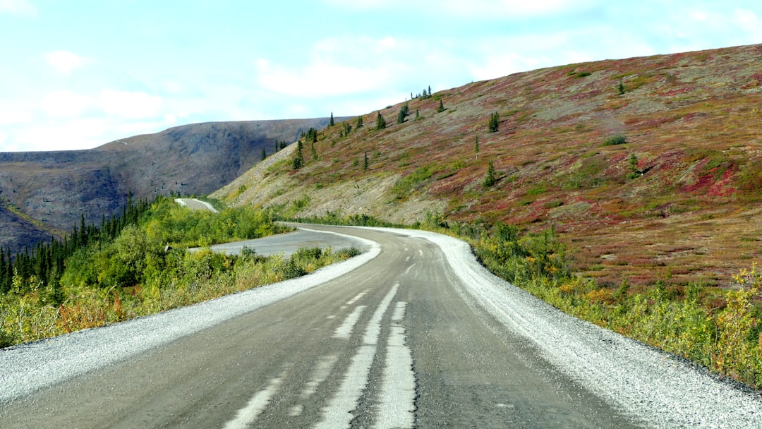
Sube desde Dawson City hasta una alta cresta alpina donde el firme de grava recorre durante kilómetros la divisoria entre Yukon y Alaska por encima de la línea de árboles. El recorrido ofrece amplias vistas de 360 grados, historia de la fiebre del oro y un descenso espectacular hasta el remoto paso fronterizo de Poker Creek y luego a Chicken, Alaska.
Haz tuya esta ruta
Elige tus fechas, ritmo y gustos, y la IA de RoadAtlas reconstruye este viaje día a día con lugares reales y verificados.
Incluido en los planes Traveler y Explorer.
Planifica este viaje
Los enlaces de planificación de terceros pueden ser de afiliados. RoadAtlas se mantiene independiente; verifica los detalles con el proveedor.
Itinerario día a día
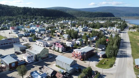
Día 1Dawson City, el ferry George Black y la cresta de la Top of the World Highway
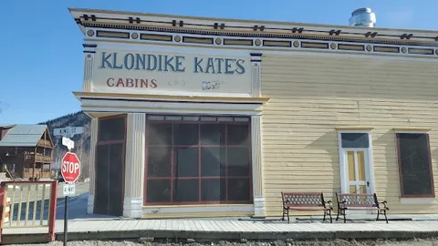
Mirador de Midnight Dome · George Black ferry · Bon Ton & Co. Bakery
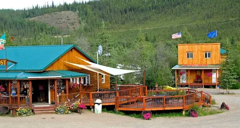
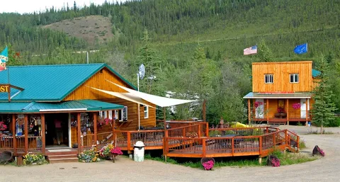
Día 2Cruce de frontera hacia Chicken, Alaska
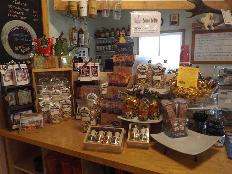
Frontera entre Yukón y Alaska en Poker Creek · Paso fronterizo Poker Creek–Little Gold Creek · Chicken Creek Outpost Café
Paradas en la ruta

Qué hacer
Mostrar 2 más
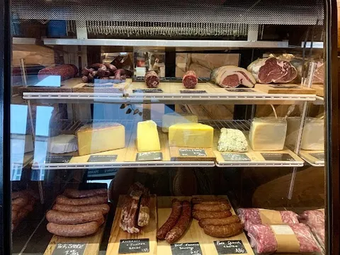
Dónde comer

Rutas cercanas y similares
Preguntas frecuentes
¿Cuánto mide la ruta Top of the World Highway?
La ruta Top of the World Highway recorre 174 km / 108 mi más ferry; unos 190 km con Midnight Dome de inicio a fin.
¿Cuánto se tarda en hacer la ruta Top of the World Highway?
La mayoría tarda 2 días en la Top of the World Highway, según las paradas y el ritmo.
¿Cuál es la mejor época para hacer la Top of the World Highway?
La temporada recomendada para la Top of the World Highway es junio-septiembre.
¿Dónde empieza y termina la Top of the World Highway?
La Top of the World Highway va desde Dawson City hasta Chicken Gold Camp & Outpost.
¿Cuáles son las principales paradas en la Top of the World Highway?
La ruta Top of the World Highway pasa por Dawson City, Midnight Dome, Mirador de la Top of the World Highway.
¿Qué tan difícil es conducir la Top of the World Highway?
La Top of the World Highway se clasifica como moderado y es mejor recorrerla con cualquier vehículo.
¿Se necesita 4x4 para la Top of the World Highway?
Sí — la Top of the World Highway incluye tramos off-road o difíciles que requieren cualquier vehículo.
¿Se necesita permiso o trámite fronterizo para la Top of the World Highway?
Sí — la Top of the World Highway requiere permisos, tasas o trámites fronterizos. Planifica con antelación: El ferri gratuito George Black es la primera dependencia operativa de la ruta y normalmente funciona desde mediados de mayo hasta mediados de octubre, si el tiempo lo permite; consulta 511 Yukon. Confirma la temporada y los horarios del paso fronterizo Little Gold-Poker Creek, lleva los pasaportes y documentos aduaneros, ten en cuenta la diferencia horaria de una hora entre Yukón y Alaska, y reposta y compra provisiones en Dawson. La grava, la lluvia, la escasez de servicios, la ausencia de cobertura móvil y la falta de mantenimiento invernal exigen una rueda de repuesto completa y una alternativa en caso de cierre.
¿Es seguro conducir la Top of the World Highway?
El ferri gratuito George Black es la primera dependencia operativa de la ruta y normalmente funciona desde mediados de mayo hasta mediados de octubre, si el tiempo lo permite; consulta 511 Yukon. Confirma la temporada y los horarios del paso fronterizo Little Gold-Poker Creek, lleva los pasaportes y documentos aduaneros, ten en cuenta la diferencia horaria de una hora entre Yukón y Alaska, y reposta y compra provisiones en Dawson. La grava, la lluvia, la escasez de servicios, la ausencia de cobertura móvil y la falta de mantenimiento invernal exigen una rueda de repuesto completa y una alternativa en caso de cierre.
¿Qué nivel escénico tiene la Top of the World Highway?
La Top of the World Highway es una ruta icónica — Viajes icónicos que definen la reputación de cada región: paisajes de postal, carreteras emblemáticas y las rutas que casi todos quieren conducir.