Pan-American Highway, Peru — Peru — Scenic
South America

Pan-American Highway, Peru

Peru

Point-to-point
Lima Tacna

In short: Pan-American Highway, Peru is a 1,234 km scenic road trip in Peru, typically driven over 8 days, best in May – October. Highlights: Lima, Paracas National Reserve, Islas Ballestas.

Distance
1,234 km
Duration
8 days
Best Season
May – October
IconicModerateScenicPermit requiredGuide recommended

Peru's stretch of the Pan-American Highway takes in everything from pre-Inca history to world-renowned wineries, the road winds through coastal desert, tiny fishing villages, the Islas Ballestas wildlife islands, the mysterious Nazca Lines, colonial-era towns, and the Atacama at Tacna. Drive only during daylight hours; fuel up wherever you can.

~2 refuels
~4 charges
Practical notes
Treat Lima as a pre-route day, then use the earliest Ballestas departure and enter Paracas within its current 09:00–16:00 window. Check SUTRAN’s live map before every stage and after protest/weather events, obey diversions and drive long legs only in daylight; slow substantially in fog with correct lights and spacing. Confirm Paracas port/park and Nazca flight that morning, use a licensed sober driver for winery days, and park outside Arequipa’s restricted historic core.

Make this route yours

Set your dates, pace, and taste, and RoadAtlas AI rebuilds this trip day by day with real, verified places.

Included with Traveler and Explorer plans.

Explore on the interactive map →

Plan this trip

Third-party planning links may be affiliate links. RoadAtlas stays independent, and you should verify details with the provider.

Day-by-day itinerary

Day 1Lima pre-route day

Lima Historic Centre · El Mercado

Day 2Earliest Ballestas boat and Paracas Reserve

Boat tour to Islas Ballestas · Paracas National Reserve Visitor Circuit · El Candelabro Restaurant

Day 3Ica licensed winery and Huacachina

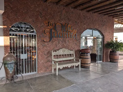
Ica Winery Tour · Huacachina Oasis · La Olla de Juanita

Day 4Nazca flight or tower fallback and ground site

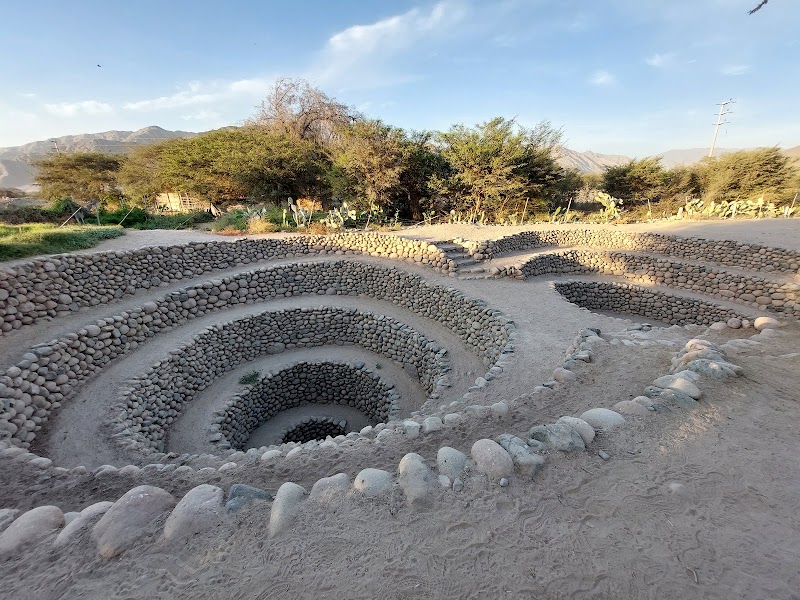
Licensed Nazca flight or reserved tower fallback · Cantalloc aqueducts or Cahuachi · Doña Rufina

Day 5Nazca to Camaná coastal transfer

Daylight PE-1S transfer · Confirmed Camaná lodging dinner

Day 6Camaná to Arequipa and city day

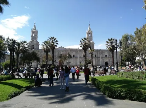
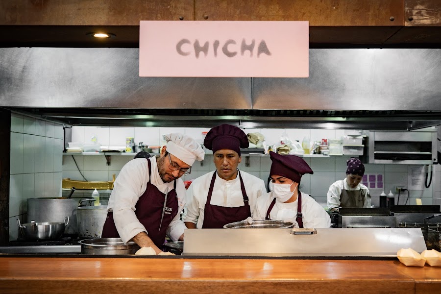
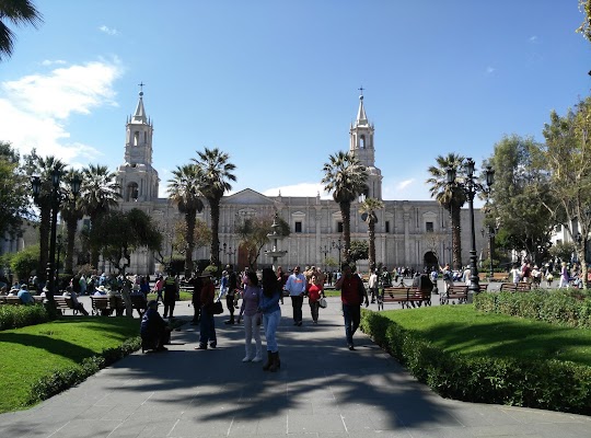
Santa Catalina Monastery · Plaza de Armas de Arequipa · Chicha por Gastón Acurio

Day 7Arequipa via PE-1S rejoin to Moquegua

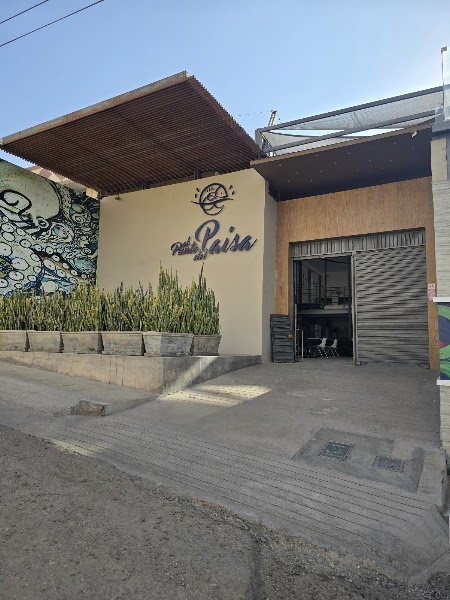
Torata Colonial Bridge · El Punto del Sabor

Day 8Moquegua to Tacna

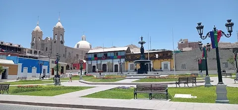
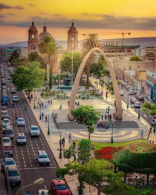
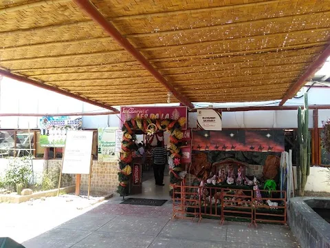
Pachía Hot Springs · Tacna Cathedral and Plaza de Armas · La Glorieta

Stops along the route
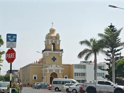
Lima — Departure — Pan-American Highway, Peru — Peru
Departure
Lima
South America's gastronomic capital on the Pacific cliffs. The Larco Museum holds pre-Columbian gold, and Miraflores clifftop restaurants are where the ceviche revolution reshaped world cuisine.
Hotels
Arequipa — City — Pan-American Highway, Peru — Peru
City
Arequipa
The White City built from pale sillar volcanic stone beneath the 5,822 m cone of El Misti. The Santa Catalina Convent is a walled city-within-a-city inhabited by nuns for over 400 years.
Hotels
Moquegua — City — Pan-American Highway, Peru — Peru
City
Moquegua
A tranquil colonial town in a narrow river valley producing Peru's finest pisco from Quebranta grapes. The cobblestoned Plaza de Armas retains its original colonial ironwood trees and tilework.
Hotels
Tacna — Arrival — Pan-American Highway, Peru — Peru
Arrival
Tacna
Peru's southernmost city on the Chilean border, occupied by Chile from 1880 to 1929 and still showing it in its architecture. The Basilica Mayor was designed by Gustave Eiffel's studio.
Hotels

Things to Do

Paracas National Reserve — Nature — Pan-American Highway, Peru — Peru
Nature
Paracas National Reserve
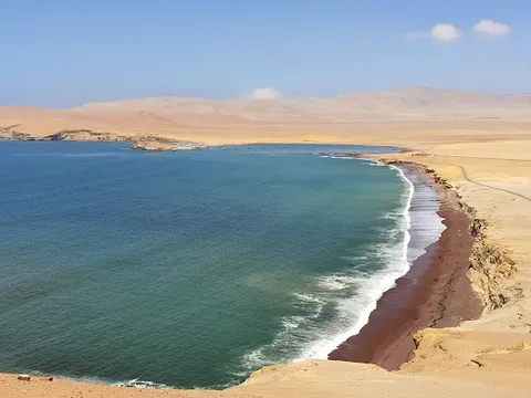
A desert peninsula of rust-red cliffs, sea lions, flamingos, and Andean condors within a coastal reserve. The Paracas culture left the world's finest pre-Columbian textiles here 2,000 years ago.
Islas Ballestas — Landmark — Pan-American Highway, Peru — Peru
Landmark
Islas Ballestas
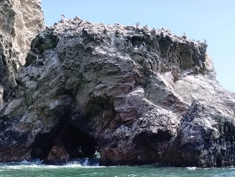
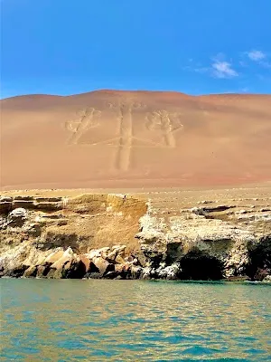
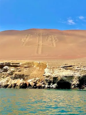
Three rocky Pacific islands teeming with Humboldt penguins, sea lions, boobies, and pelicans. The enigmatic Candelabra geoglyph is etched into the coastal cliff and visible from the boat.
Nazca Lines — Landmark — Pan-American Highway, Peru — Peru
Landmark
Nazca Lines
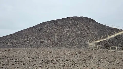
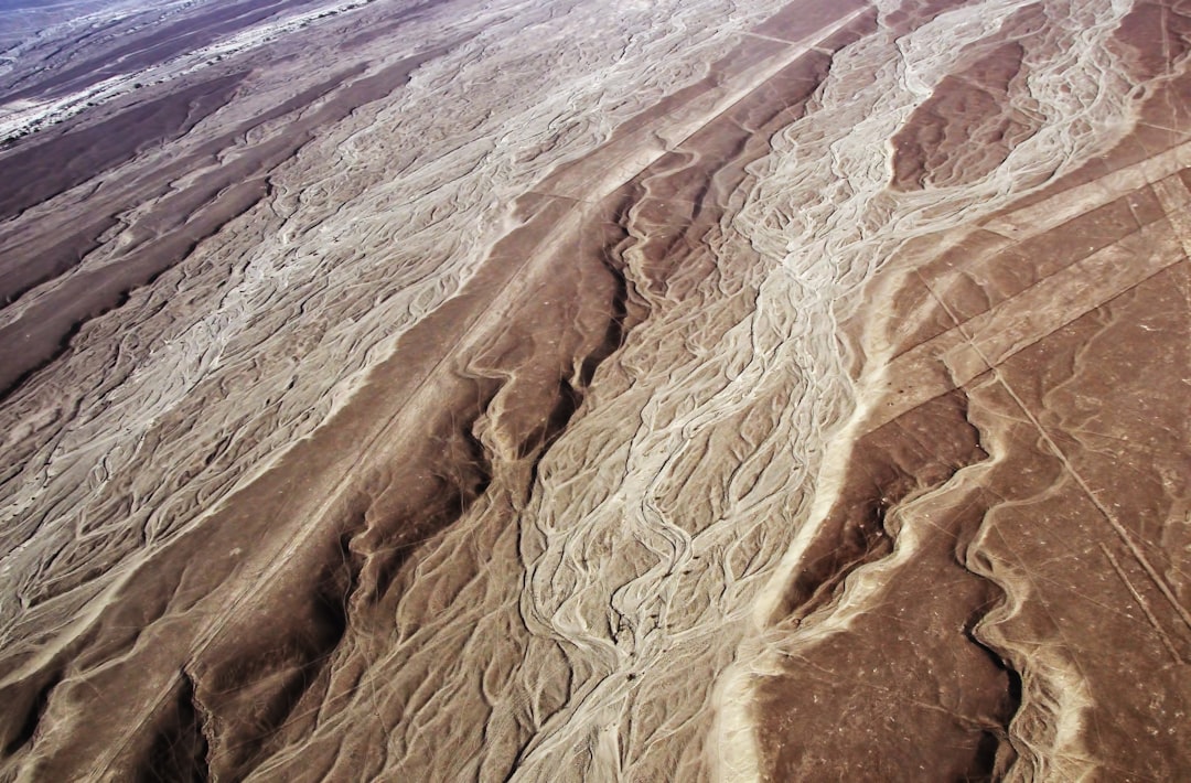
Seventy animal figures and 800 straight lines etched into the desert between 200 BCE and 700 CE, visible only from the air. A 30-minute flight over the hummingbird, monkey, and spider is unmissable.
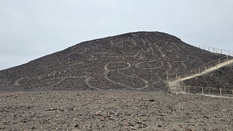
Paracas Candelabra Geoglyph — Historic Site — Pan-American Highway, Peru — Peru
Historic Site
Paracas Candelabra Geoglyph
A massive prehistoric geoglyph etched into the hillside, visible from the sea.
Huacachina Oasis — Scenic Viewpoint — Pan-American Highway, Peru — Peru
Scenic Viewpoint
Huacachina Oasis
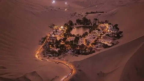
A picturesque desert oasis surrounded by towering sand dunes, ideal for sandboarding and dune buggy rides.
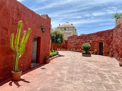
Santa Catalina Monastery — Historic Site — Pan-American Highway, Peru — Peru
Historic Site
Santa Catalina Monastery
A sprawling 16th-century convent with vibrant colors and intricate architecture, offering a glimpse into colonial history.
Show 4 more
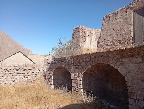
Torata Colonial Bridge — Landmark — Pan-American Highway, Peru — Peru
Landmark
Torata Colonial Bridge
An ancient stone bridge offering scenic views of the surrounding valley and a testament to colonial engineering.
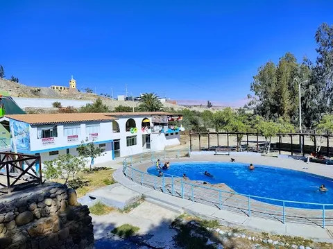
Pachía Hot Springs — Nature — Pan-American Highway, Peru — Peru
Nature
Pachía Hot Springs
Natural thermal baths located in a serene setting, perfect for relaxation and rejuvenation.
Licensed Nazca flight or reserved observation-tower fallback — Aerial / heritage visit — Pan-American Highway, Peru — Peru
Aerial / heritage visit
Licensed Nazca flight or reserved observation-tower fallback
Fly only with a current authorized operator and suitable weather; otherwise use the Culture Ministry tower.
Cantalloc aqueducts or Cahuachi — Archaeological site — Pan-American Highway, Peru — Peru
Archaeological site
Cantalloc aqueducts or Cahuachi
Add one ground anchor to the Nazca day.

Where to Eat

Ica Wineries — Food & Drink — Pan-American Highway, Peru — Peru
Food & Drink
Ica Wineries
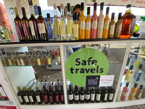
Peru's oldest pisco and wine region, producing the grape spirit that defines the pisco sour. The Tacama and El Catador bodegas have been fermenting grapes in this desert oasis since the 1540s.
El Mercado — Peruvian seafood — Pan-American Highway, Peru — Peru
Peruvian seafood
El Mercado
Exact Miraflores lunch for the separate Lima pre-route day; reserve and reconfirm the current lunch-only service.
El Candelabro Restaurant — Seafood — Pan-American Highway, Peru — Peru
Seafood
El Candelabro Restaurant
Offers fresh seafood dishes with panoramic ocean views, highlighting local flavors in a relaxed setting.
La Olla de Juanita — Peruvian — Pan-American Highway, Peru — Peru
Peruvian
La Olla de Juanita
Serves traditional Peruvian cuisine, renowned for its ceviche and friendly atmosphere.
Doña Rufina — Peruvian — Pan-American Highway, Peru — Peru
Peruvian
Doña Rufina
Named Nazca meal on the correct day.
Chicha por Gastón Acurio — Peruvian — Pan-American Highway, Peru — Peru
Peruvian
Chicha por Gastón Acurio
Exact Arequipa dinner after the staged transfer.
Show 2 more
El Punto del Sabor — Peruvian — Pan-American Highway, Peru — Peru
Peruvian
El Punto del Sabor
Named Moquegua meal; reconfirm current address and hours.
La Glorieta — International — Pan-American Highway, Peru — Peru
International
La Glorieta
Offers a diverse menu with international and Peruvian dishes in a cozy environment.

Nearby and similar drives

Frequently asked questions

How long is the Pan-American Highway, Peru drive?

The Pan-American Highway, Peru covers 1,234 km from start to finish.

How long does the Pan-American Highway, Peru take to drive?

Most travellers spend 8 days on the Pan-American Highway, Peru, depending on stops and pace.

When is the best time to drive the Pan-American Highway, Peru?

The recommended season for the Pan-American Highway, Peru is May – October.

Where does the Pan-American Highway, Peru start and end?

The Pan-American Highway, Peru runs from Lima to Tacna.

What are the main stops on the Pan-American Highway, Peru?

The Pan-American Highway, Peru passes through Lima, Paracas National Reserve, Islas Ballestas.

How difficult is the Pan-American Highway, Peru to drive?

The Pan-American Highway, Peru is rated moderate and is best handled with any vehicle.

Can I drive the Pan-American Highway, Peru in a regular car?

Yes — the Pan-American Highway, Peru is paved end-to-end and a regular car is fine in normal conditions.

Do I need a permit or border paperwork for the Pan-American Highway, Peru?

Yes — the Pan-American Highway, Peru requires permits, fees, or border paperwork. Plan ahead: Treat Lima as a pre-route day, then use the earliest Ballestas departure and enter Paracas within its current 09:00–16:00 window. Check SUTRAN’s live map before every stage and after protest/weather events, obey diversions and drive long legs only in daylight; slow substantially in fog with correct lights and spacing. Confirm Paracas port/park and Nazca flight that morning, use a licensed sober driver for winery days, and park outside Arequipa’s restricted historic core.

How many fuel stops are needed on the Pan-American Highway, Peru?

Plan around 2 refuels (or about 4 EV charges) along the Pan-American Highway, Peru, based on its 1,234 km length.

Is the Pan-American Highway, Peru safe to drive?

Treat Lima as a pre-route day, then use the earliest Ballestas departure and enter Paracas within its current 09:00–16:00 window. Check SUTRAN’s live map before every stage and after protest/weather events, obey diversions and drive long legs only in daylight; slow substantially in fog with correct lights and spacing. Confirm Paracas port/park and Nazca flight that morning, use a licensed sober driver for winery days, and park outside Arequipa’s restricted historic core.

What scenic tier is the Pan-American Highway, Peru?

The Pan-American Highway, Peru is a iconic drive — Iconic road trips that anchor a region's reputation — postcard scenery, headline highways, and the routes most travellers want to drive.