
Geiranger–Trollstigen
Norway
In short: Geiranger–Trollstigen is a 104 km mountain road trip in Norway, typically driven over 2 days, best in May – October. Highlights: Langevatn, Geirangerfjord, Geiranger Village.
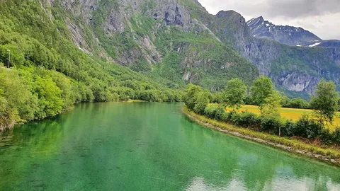
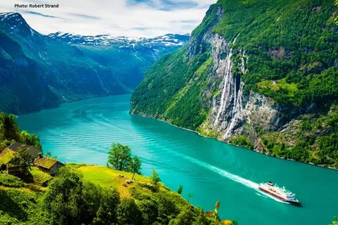
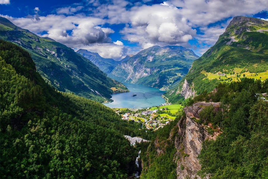
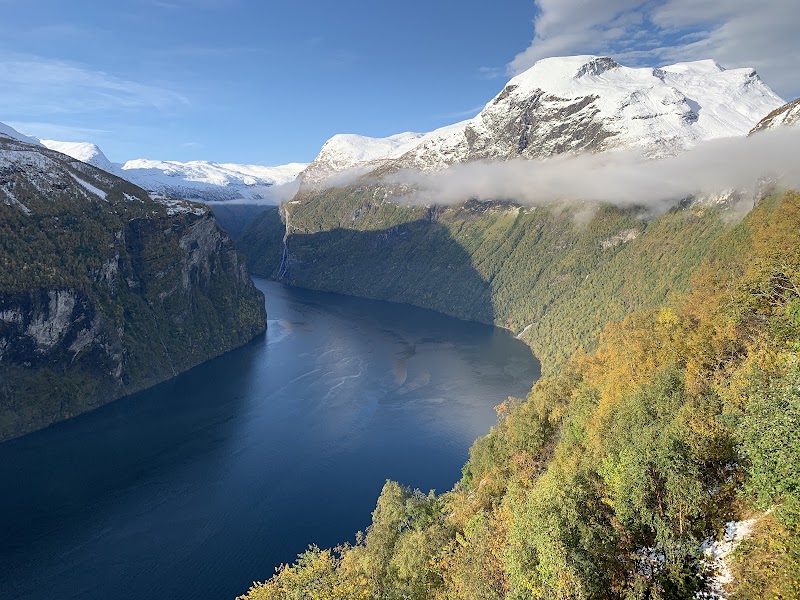
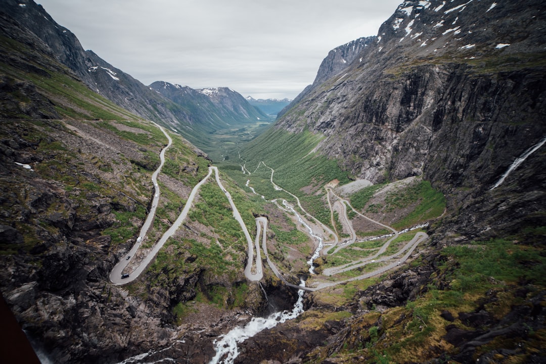
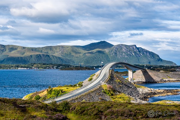
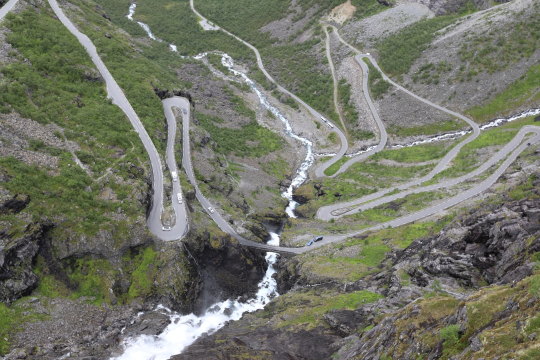
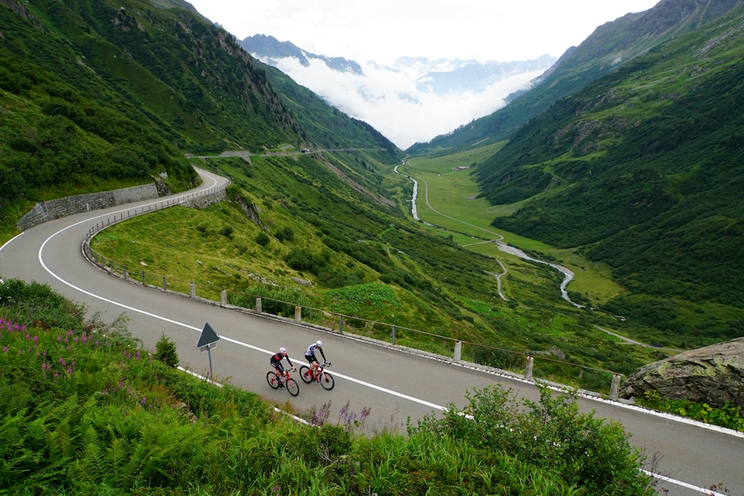
Norwegian National Tourist Route 63, one of the world's greatest drives and a UNESCO World Heritage site. Steep inclines averaging 9%, slam-on-the-brakes-and-grab-the-camera hairpin bends, and views of Geirangerfjord's sheer 1,400 m walls make for terrific slow touring. The Trollstigen (Troll's Path) bombards you with mountains named Kongen (the King) and Dronnigen (the Queen), waterfalls spilling down sheer cliff faces, and fjords of the bluest blue.
Make this route yours
Set your dates, pace, and taste, and RoadAtlas AI rebuilds this trip day by day with real, verified places.
Included with Traveler and Explorer plans.
Plan this trip
Third-party planning links may be affiliate links. RoadAtlas stays independent, and you should verify details with the provider.
Day-by-day itinerary
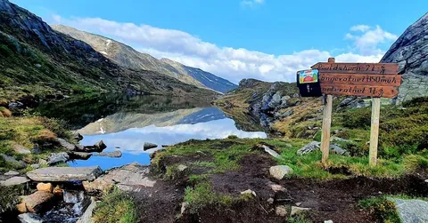
Day 1Langevatn to Geiranger, then a Geiranger local day
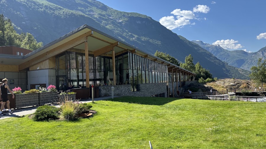
Norwegian Fjord Centre · Flydalsjuvet · Brasserie Posten
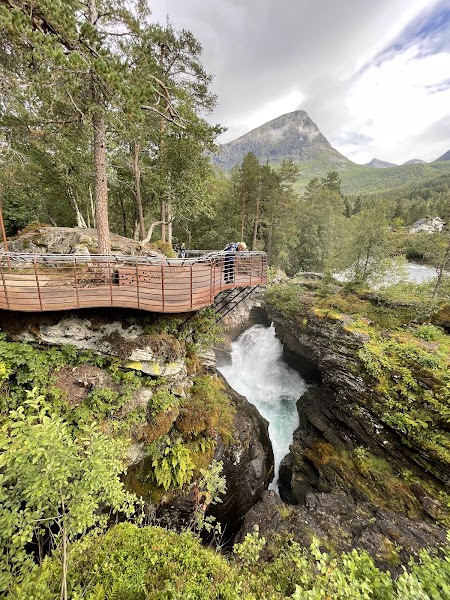
Day 2Geiranger via ferry, Gudbrandsjuvet and Trollstigen to Sogge Bru, then Åndalsnes
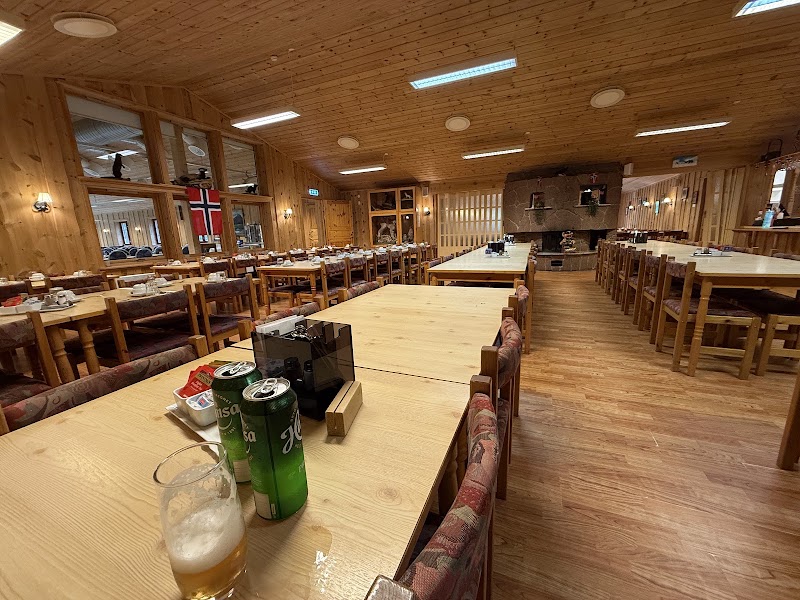
Ørnesvingen and Eidsdal–Linge ferry · Gudbrandsjuvet and Trollstigen · Trollstigen Kafé
Stops along the route

Things to Do


Show 1 more
Where to Eat

Nearby and similar drives

Frequently asked questions
How long is the Geiranger–Trollstigen drive?
The Geiranger–Trollstigen covers 104 km from start to finish.
How long does the Geiranger–Trollstigen take to drive?
Most travellers spend 2 days on the Geiranger–Trollstigen, depending on stops and pace.
When is the best time to drive the Geiranger–Trollstigen?
The recommended season for the Geiranger–Trollstigen is May – October.
Where does the Geiranger–Trollstigen start and end?
The Geiranger–Trollstigen runs from Langevatn to Sogge Bru.
What are the main stops on the Geiranger–Trollstigen?
The Geiranger–Trollstigen passes through Langevatn, Geirangerfjord, Geiranger Village.
How difficult is the Geiranger–Trollstigen to drive?
The Geiranger–Trollstigen is rated moderate and is best handled with any vehicle.
Can I drive the Geiranger–Trollstigen in a regular car?
Yes — the Geiranger–Trollstigen is paved end-to-end and a regular car is fine in normal conditions.
Is the Geiranger–Trollstigen EV friendly?
Yes — the Geiranger–Trollstigen has charger coverage along the route and works as an EV road trip.
Is the Geiranger–Trollstigen safe to drive?
Two days are recommended when including the Fjord Centre. The road-and-viewpoint day prioritizes Flydalsjuvet, Ørnesvingen, Eidsdal–Linge ferry, Gudbrandsjuvet and Trollstigen. Check 175.no/Vegvesen and ferry timing the same morning; access can close at night or in weather and is not guaranteed in May or October. The maximum vehicle-combination length is 13.30 m. Verify all seasonal restaurant hours.
What scenic tier is the Geiranger–Trollstigen?
The Geiranger–Trollstigen is a legendary drive — The world's most extraordinary drives — once-in-a-lifetime road trips with cinematic scenery, legendary roads, and unmatched cultural depth.