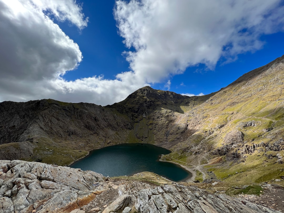
Wales Mountain Crossing
Wales
In short: Wales Mountain Crossing is a 510 km scenic road trip in Wales, typically driven over 5 days, best in Apr–Oct. Highlights: Cardiff to Bannau and Rhayader, Aberystwyth to Dolgellau, Cadair Idris.
A five-day south-to-north Wales crossing built on the A470, with clearly labelled Aberystwyth/Cadair Idris and Beddgelert excursions and separate mountain days.
Make this route yours
Set your dates, pace, and taste, and RoadAtlas AI rebuilds this trip day by day with real, verified places.
Included with Traveler and Explorer plans.
Plan this trip
Third-party planning links may be affiliate links. RoadAtlas stays independent, and you should verify details with the provider.
Day-by-day itinerary
Day 1Cardiff, Bannau Brycheiniog and Rhayader
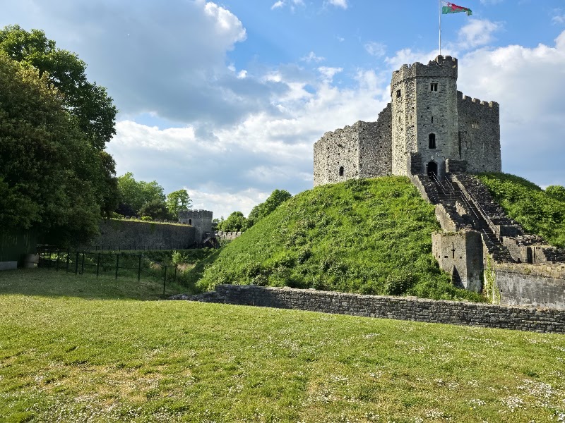
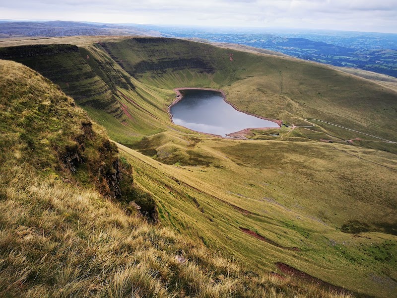
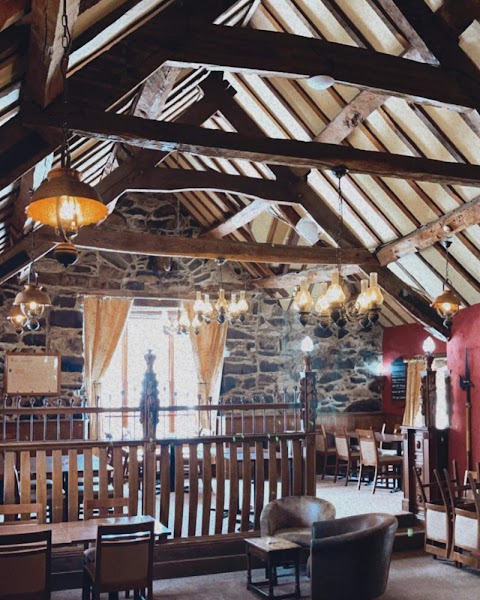
Cardiff Castle or museum · Bannau short viewpoint walk · The Triangle Inn
Day 2Elan Valley via Aberystwyth to Dolgellau
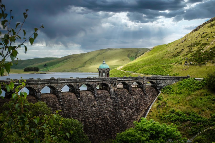
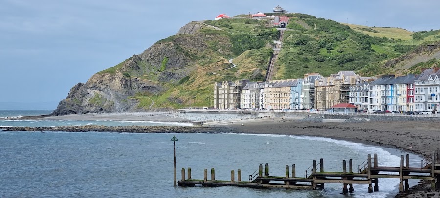
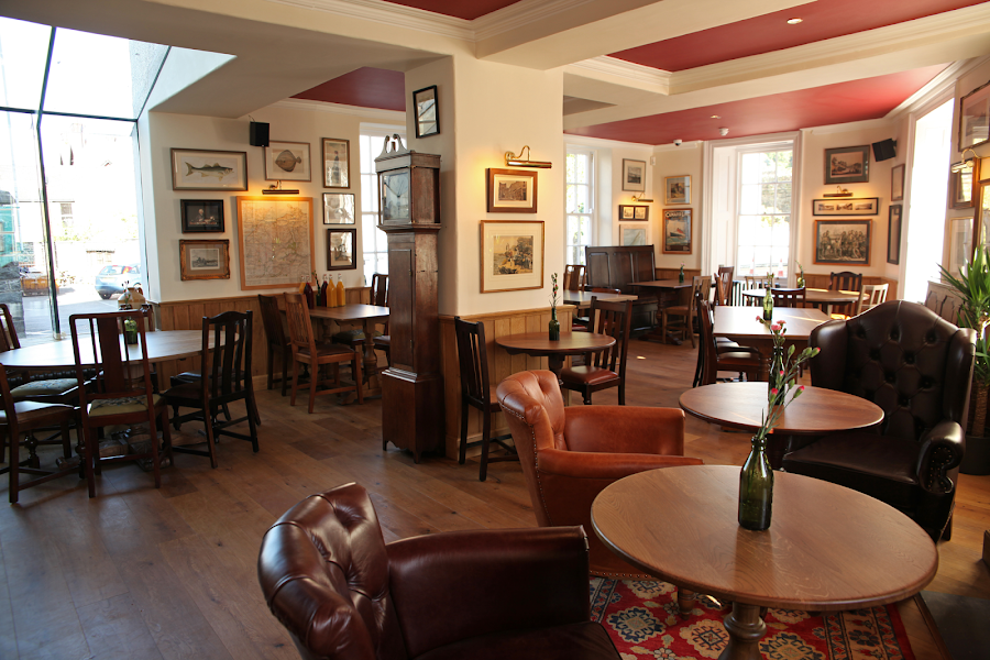
Elan Valley signed viewpoints · Aberystwyth promenade · Y Sospan
Day 3Cadair Idris forecast day
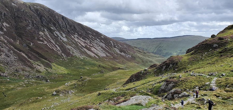
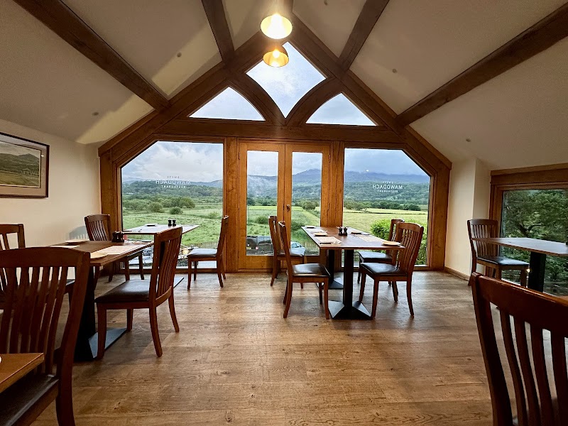
Cadair Idris via Minffordd Path · Mawddach Restaurant
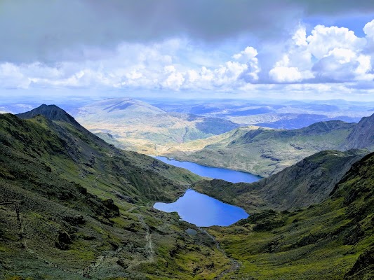
Day 4Yr Wyddfa forecast day from Llanberis/Pen-y-Pass
Yr Wyddfa summit day · Hebog
Day 5Beddgelert and Conwy
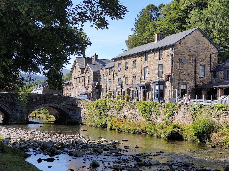
Beddgelert village and short riverside walk · Castell Conwy · The Erskine Arms
Stops along the route
Things to Do
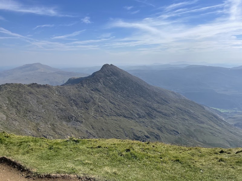
Show 2 more
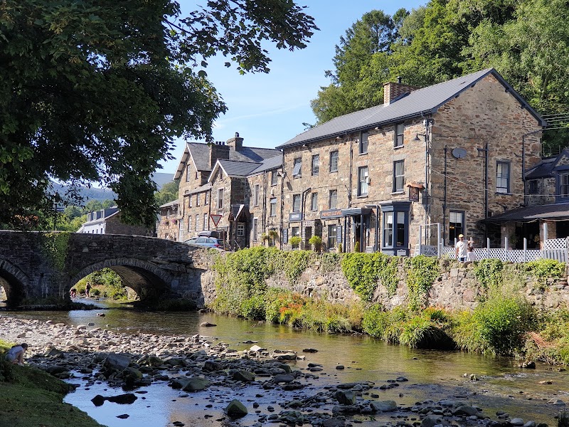
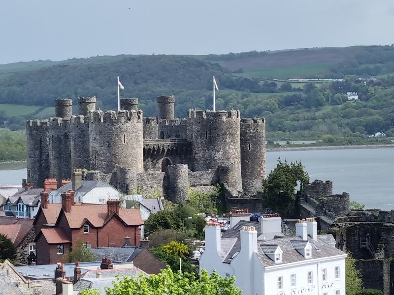
Where to Eat
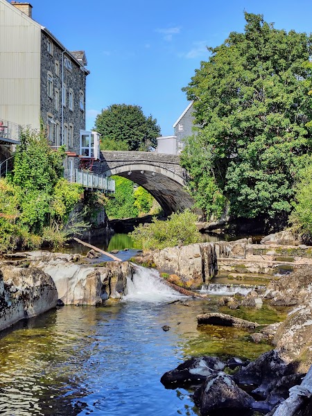

Nearby and similar drives
Frequently asked questions
How long is the Wales Mountain Crossing drive?
The Wales Mountain Crossing covers 510 km from start to finish.
How long does the Wales Mountain Crossing take to drive?
Most travellers spend 5 days on the Wales Mountain Crossing, depending on stops and pace.
When is the best time to drive the Wales Mountain Crossing?
The recommended season for the Wales Mountain Crossing is Apr–Oct.
Where does the Wales Mountain Crossing start and end?
The Wales Mountain Crossing runs from Cardiff to Bannau and Rhayader to Beddgelert and Conwy.
What are the main stops on the Wales Mountain Crossing?
The Wales Mountain Crossing passes through Cardiff to Bannau and Rhayader, Aberystwyth to Dolgellau, Cadair Idris.
How difficult is the Wales Mountain Crossing to drive?
The Wales Mountain Crossing is rated moderate and is best handled with any vehicle.
Can I drive the Wales Mountain Crossing in a regular car?
Yes — the Wales Mountain Crossing is paved end-to-end and a regular car is fine in normal conditions.
How many fuel stops are needed on the Wales Mountain Crossing?
Plan around 0 refuels (or about 1 EV charges) along the Wales Mountain Crossing, based on its 510 km length.
Is the Wales Mountain Crossing EV friendly?
Yes — the Wales Mountain Crossing has charger coverage along the route and works as an EV road trip.
Is the Wales Mountain Crossing safe to drive?
The A470 is the core; Aberystwyth/Cadair Idris and Beddgelert are explicit excursions. Check the Met Office mountain forecast and local park alerts, carry full hill kit, set a turnaround time and abandon summits in poor visibility, wind, heat or ice. Cadair Idris and Yr Wyddfa are separate full-day alternatives, never transfer add-ons. For Yr Wyddfa, prebook Pen-y-Pass only if available or use the Sherpa’r Wyddfa bus. Castell Conwy remains visitable, but a Watch Tower–Wing Gate section of the town walls is closed until planned 2027 reopening.
What scenic tier is the Wales Mountain Crossing?
The Wales Mountain Crossing is a notable drive — Notable scenic drives — strong character routes that locals know well and that reward travellers willing to step beyond the most-photographed roads.