
DMZ and Gangwon Mountain Route
South Korea
In short: DMZ and Gangwon Mountain Route is a About 620 km scenic road trip in South Korea, typically driven over 5 days, best in Apr–Jun / Sep–Oct. Highlights: Seoul departure, Imjingak and the Paju DMZ Peace Tour, Chuncheon.
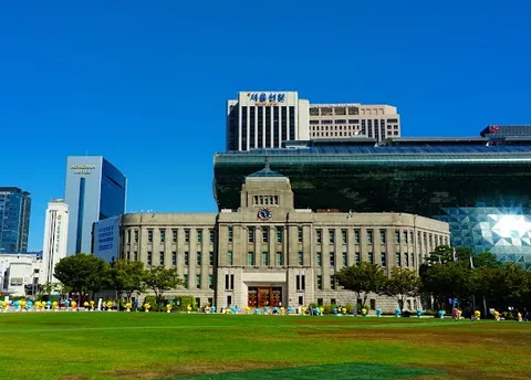
A five-day eastbound journey that follows one coherent line from Seoul through Paju's controlled DMZ Peace Tour, Chuncheon, Gangneung, Seoraksan and Sokcho, then returns to Seoul for a short, defined Bukhansan foothill walk. The route replaces hidden backtracking with realistic transfers and gives the national park its own day.
Make this route yours
Set your dates, pace, and taste, and RoadAtlas AI rebuilds this trip day by day with real, verified places.
Included with Traveler and Explorer plans.
Plan this trip
Third-party planning links may be affiliate links. RoadAtlas stays independent, and you should verify details with the provider.
Day-by-day itinerary
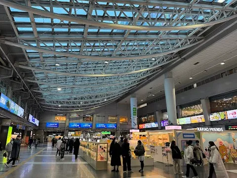
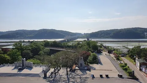
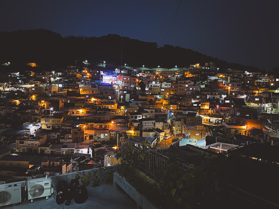
Day 1Seoul to the Paju DMZ and Chuncheon
Early Seoul to Imjingak transfer · Imjingak and the Paju DMZ Peace Tour · Bangujeong Naruteojip
Day 2Chuncheon to Gangneung
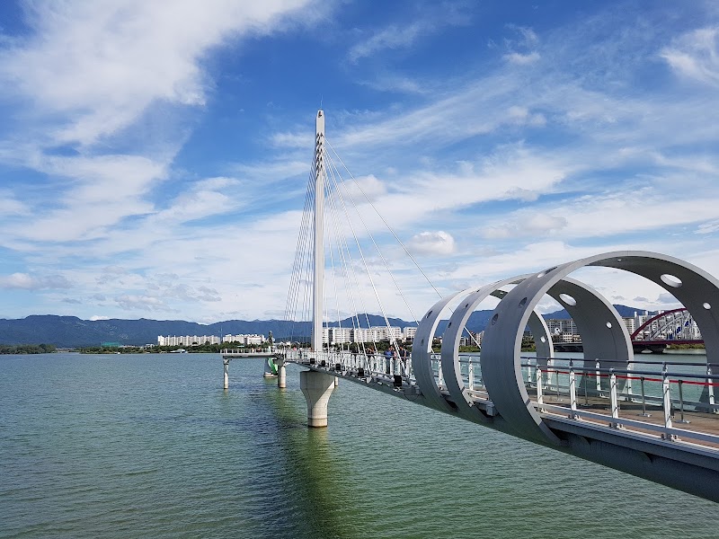
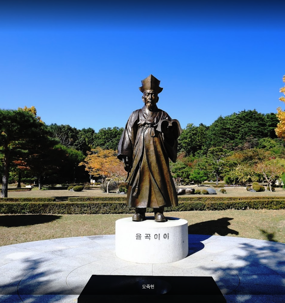
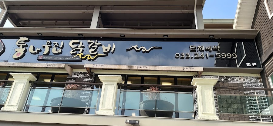
Soyanggang Skywalk · Chuncheon to Gangneung transfer and Ojukheon · Chuncheon Tongnamujip Dakgalbi
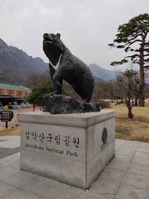
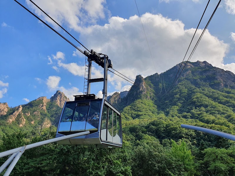
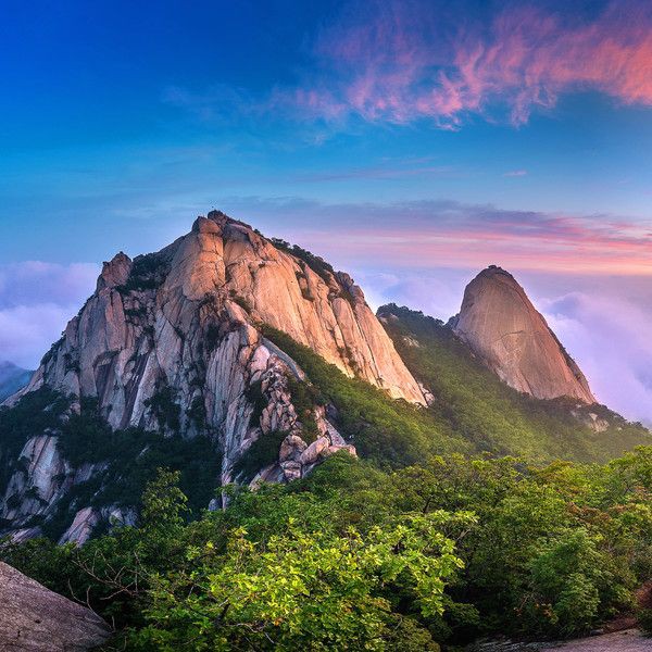
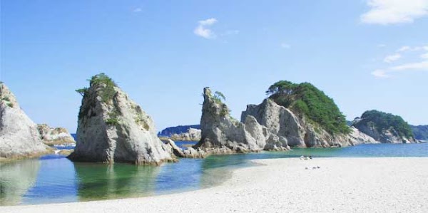
Day 3Gangneung to Seoraksan and Sokcho
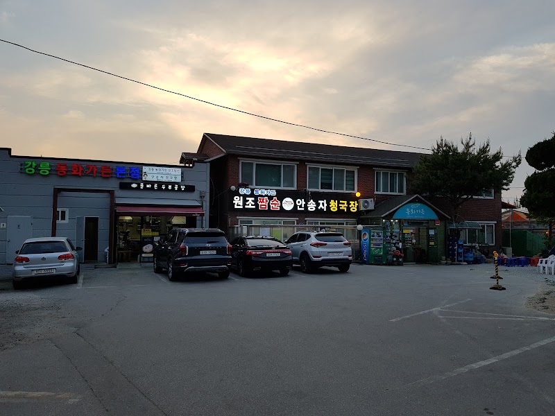
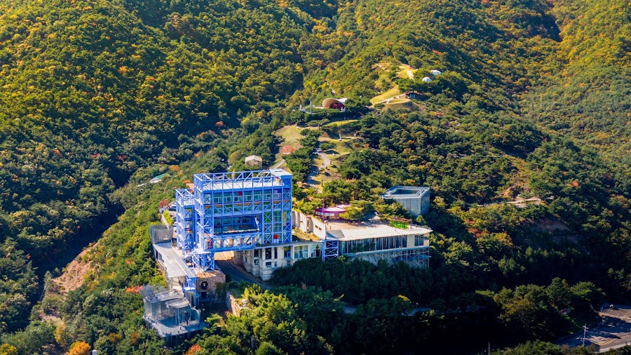
Gangneung to Seoraksan transfer · Seoraksan valley day · Dancheon Sikdang
Day 4Sokcho to Seoul
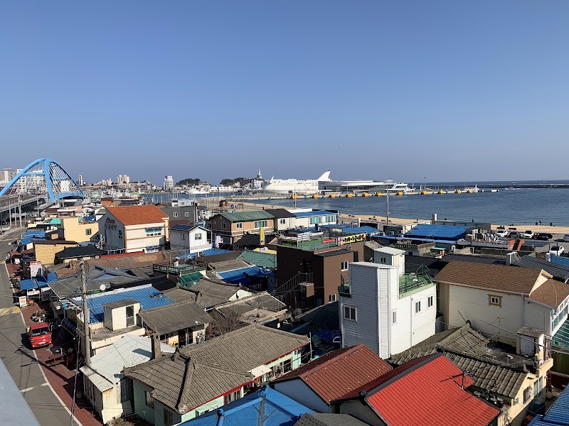
Abai Village historical walk · Sokcho to Seoul transfer · Dancheon Sikdang
Day 5Bukhansan foothills and Seoul
Bukhansan Dulle Trail Section 1 · Return to central Seoul · Myeongdong Kyoja Main Branch
Stops along the route
Things to Do


Show 3 more
Where to Eat

Nearby and similar drives
Frequently asked questions
How long is the DMZ and Gangwon Mountain Route drive?
The DMZ and Gangwon Mountain Route covers About 620 km from start to finish.
How long does the DMZ and Gangwon Mountain Route take to drive?
Most travellers spend 5 days on the DMZ and Gangwon Mountain Route, depending on stops and pace.
When is the best time to drive the DMZ and Gangwon Mountain Route?
The recommended season for the DMZ and Gangwon Mountain Route is Apr–Jun / Sep–Oct.
Where does the DMZ and Gangwon Mountain Route start and end?
The DMZ and Gangwon Mountain Route runs from Seoul departure to Seoul Station.
What are the main stops on the DMZ and Gangwon Mountain Route?
The DMZ and Gangwon Mountain Route passes through Seoul departure, Imjingak and the Paju DMZ Peace Tour, Chuncheon.
How difficult is the DMZ and Gangwon Mountain Route to drive?
The DMZ and Gangwon Mountain Route is rated moderate and is best handled with any vehicle.
Can I drive the DMZ and Gangwon Mountain Route in a regular car?
Yes — the DMZ and Gangwon Mountain Route is paved end-to-end and a regular car is fine in normal conditions.
Do I need a permit or border paperwork for the DMZ and Gangwon Mountain Route?
Yes — the DMZ and Gangwon Mountain Route requires permits, fees, or border paperwork. Plan ahead: Dora Observatory is not an independent drive-up stop: reserve the Paju DMZ Peace Tour from Imjingak, bring each visitor's original passport or accepted Korean ID, arrive before the ticket cutoff, and follow its controlled transport and photography rules. Mondays, certain holidays, military incidents, severe weather, or safety orders can cancel the tour without notice, including confirmed reservations; use the public Imjingak memorial area as the fallback and never enter unsigned land because of mine risk. Foreign renters should confirm the accepted passport, home licence, International Driving Permit, insurance, toll, and one-way conditions; expect speed cameras and use Korean navigation. Check Korea Meteorological Administration, live roads, national-park trail closures, and Seoraksan cable-car operations daily for typhoons, heavy rain, snow, ice, high wind, wildfire controls, and last light.
How many fuel stops are needed on the DMZ and Gangwon Mountain Route?
Plan around 1 refuels (or about 2 EV charges) along the DMZ and Gangwon Mountain Route, based on its About 620 km length.
Is the DMZ and Gangwon Mountain Route EV friendly?
Yes — the DMZ and Gangwon Mountain Route has charger coverage along the route and works as an EV road trip.
Is the DMZ and Gangwon Mountain Route safe to drive?
Dora Observatory is not an independent drive-up stop: reserve the Paju DMZ Peace Tour from Imjingak, bring each visitor's original passport or accepted Korean ID, arrive before the ticket cutoff, and follow its controlled transport and photography rules. Mondays, certain holidays, military incidents, severe weather, or safety orders can cancel the tour without notice, including confirmed reservations; use the public Imjingak memorial area as the fallback and never enter unsigned land because of mine risk. Foreign renters should confirm the accepted passport, home licence, International Driving Permit, insurance, toll, and one-way conditions; expect speed cameras and use Korean navigation. Check Korea Meteorological Administration, live roads, national-park trail closures, and Seoraksan cable-car operations daily for typhoons, heavy rain, snow, ice, high wind, wildfire controls, and last light.
What scenic tier is the DMZ and Gangwon Mountain Route?
The DMZ and Gangwon Mountain Route is a notable drive — Notable scenic drives — strong character routes that locals know well and that reward travellers willing to step beyond the most-photographed roads.